MyTopo
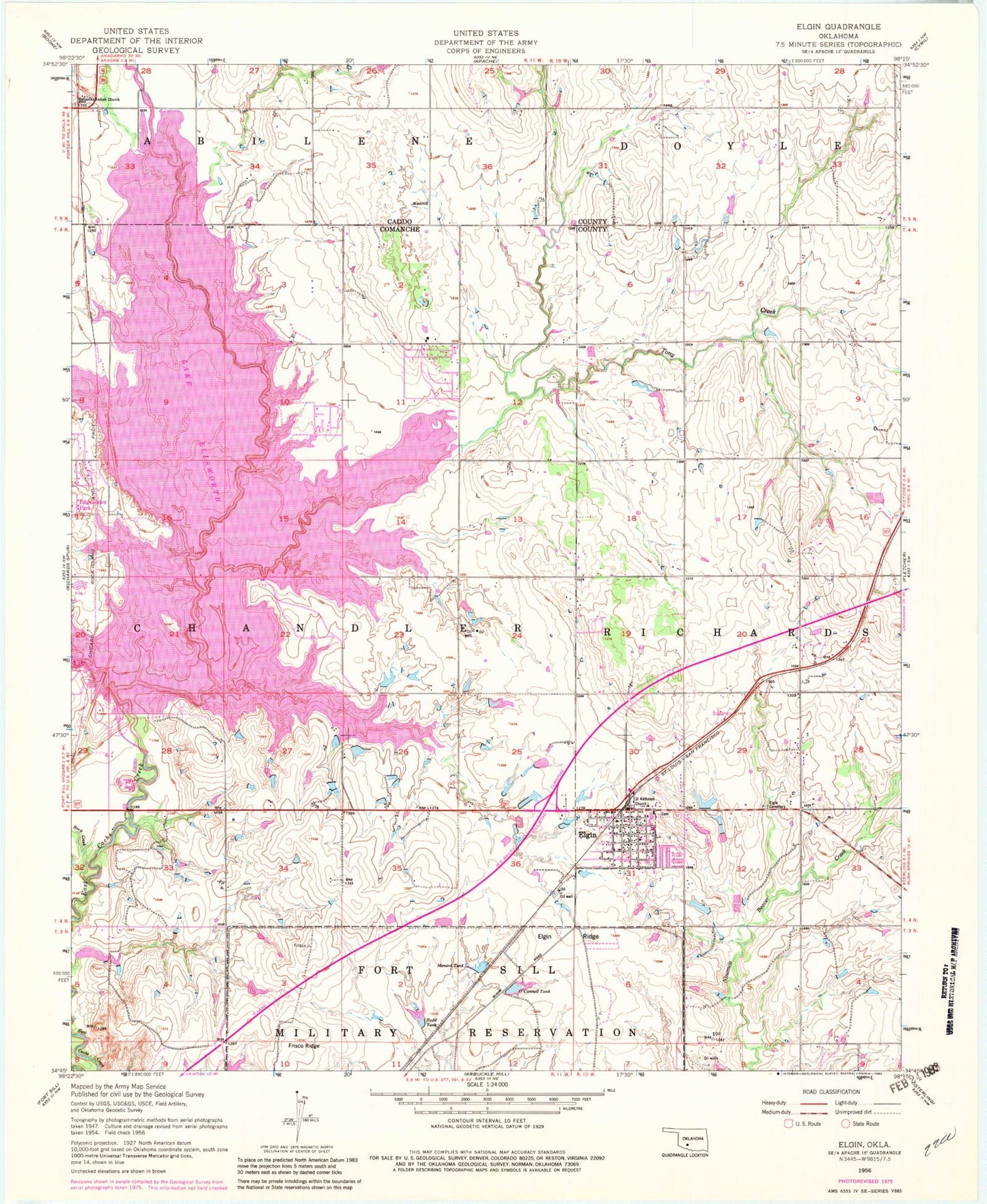
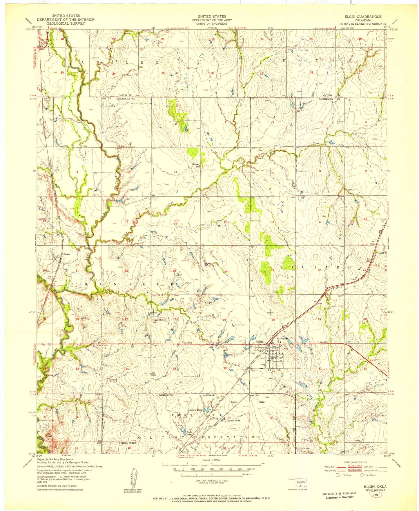
Classic USGS Elgin Oklahoma 7.5'x7.5' Topo Map
Couldn't load pickup availability
Historical USGS topographic quad map of Elgin in the state of Oklahoma. Map scale may vary for some years, but is generally around 1:24,000. Print size is approximately 24" x 27"
This quadrangle is in the following counties: Caddo, Comanche.
The map contains contour lines, roads, rivers, towns, and lakes. Printed on high-quality waterproof paper with UV fade-resistant inks, and shipped rolled.
Contains the following named places: Church of Apache, City of Elgin, Comanche County Memorial Hospital Ambulance Service - Elgin, Cove Acres, Cove Acres Volunteer Fire Department, Duck Pond, Elgin, Elgin Cemetery, Elgin Elementary School, Elgin High School, Elgin Memorial Cemetery, Elgin Middle School, Elgin Police Department, Elgin Post Office, Elgin Ridge, Elgin Volunteer Fire Department, Elgin's Stony Field, Ellsworth Dam, First Baptist Church, First United Methodist Church, Fort Sill National Cemetery, Frisco Ridge, Fulton Arm, Goodin Arm, Hasenbach Arm, Hunting Horse Pond, Lake Ellsworth, Lake Ellsworth Addition, Lake Ellsworth Addition Census Designated Place, Love Pond, Mann Arm, Martin Arm, Menard Pond, Northeast Corner Pond, Nunn Creek, O'Connell Pond, Oknoname 031001 Dam, Oknoname 031001 Reservoir, Oknoname 031002 Dam, Oknoname 031007 Dam, Oknoname 031016 Dam, Quannett Pond, Rock Creek, Rudd Pond, Saint Ann Church, Saint Anns Cemetery, Saint Anns Church, Saint Ann's Church, Schammahorn Slough, Tony Creek, Township of Chandler, Township of Richard, Treasure Island, United Methodist Church of Apache, Upper Frisco Pond


