MyTopo
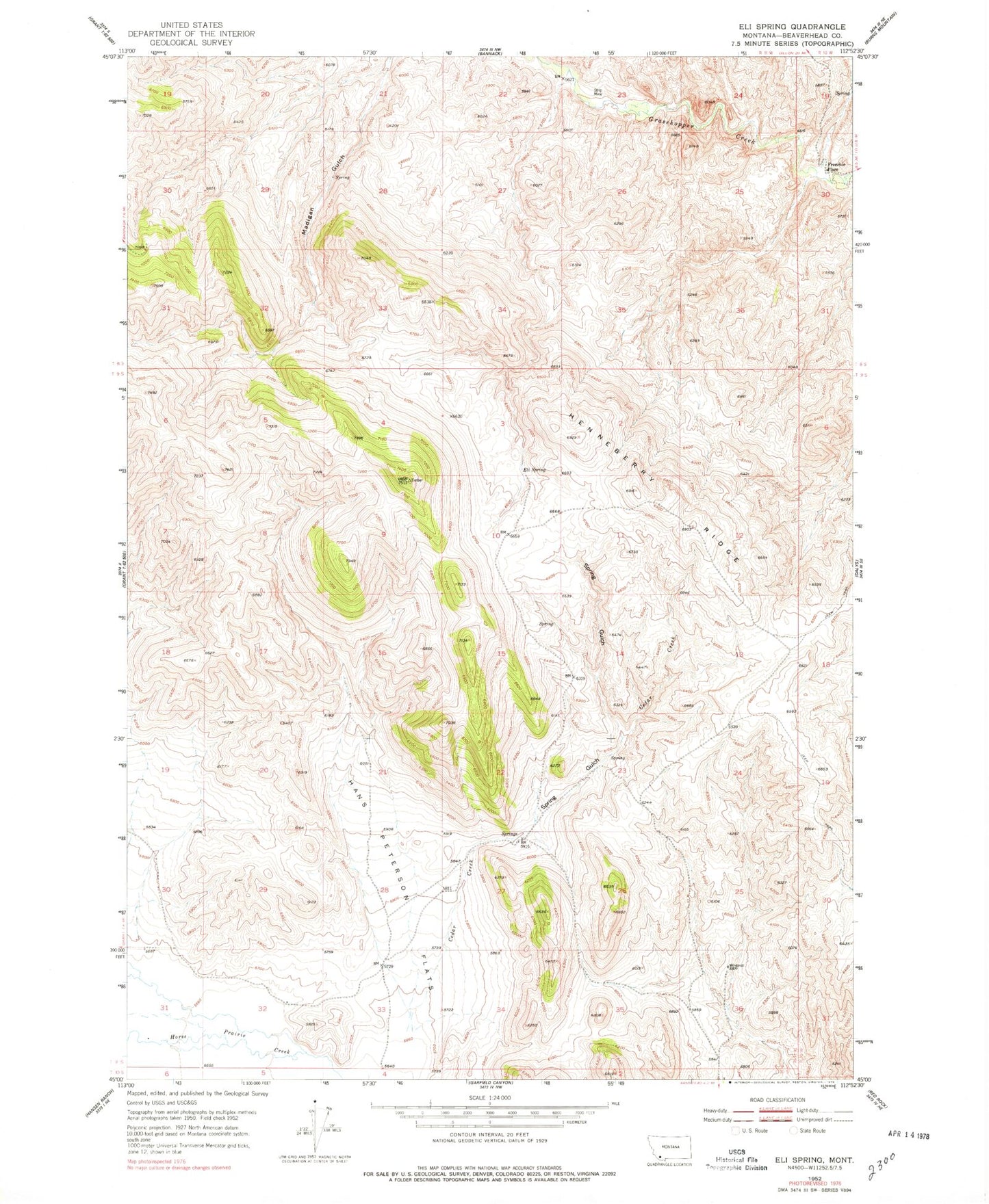
Classic USGS Eli Spring Montana 7.5'x7.5' Topo Map
Regular price
$16.95
Regular price
Sale price
$16.95
Unit price
per
Couldn't load pickup availability
Historical USGS topographic quad map of Eli Spring in the state of Montana. Map scale may vary for some years, but is generally around 1:24,000. Print size is approximately 24" x 27"
This quadrangle is in the following counties: Beaverhead.
The map contains contour lines, roads, rivers, towns, and lakes. Printed on high-quality waterproof paper with UV fade-resistant inks, and shipped rolled.
Contains the following named places: 09S11W02AADD01 Spring, 09S11W27ABBD01 Spring, Cedar Creek, Eli Spring, Frenchie Place, Grasshopper Strip Mine, Hans Peterson Flats, Henneberry Ridge, Jerusalem, Rocky Hills, Spring Gulch