MyTopo
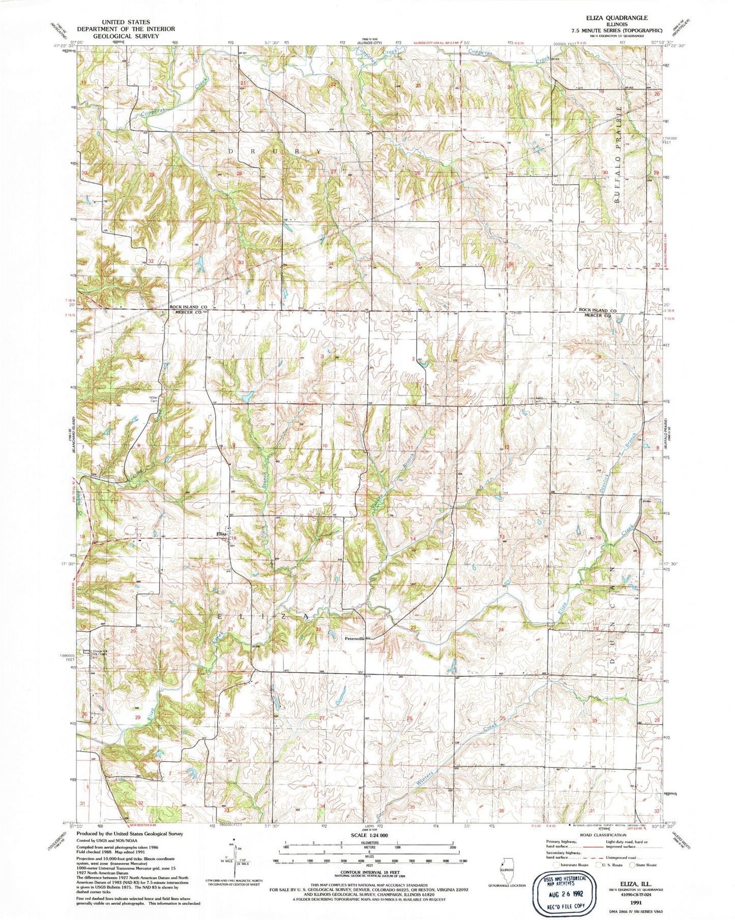
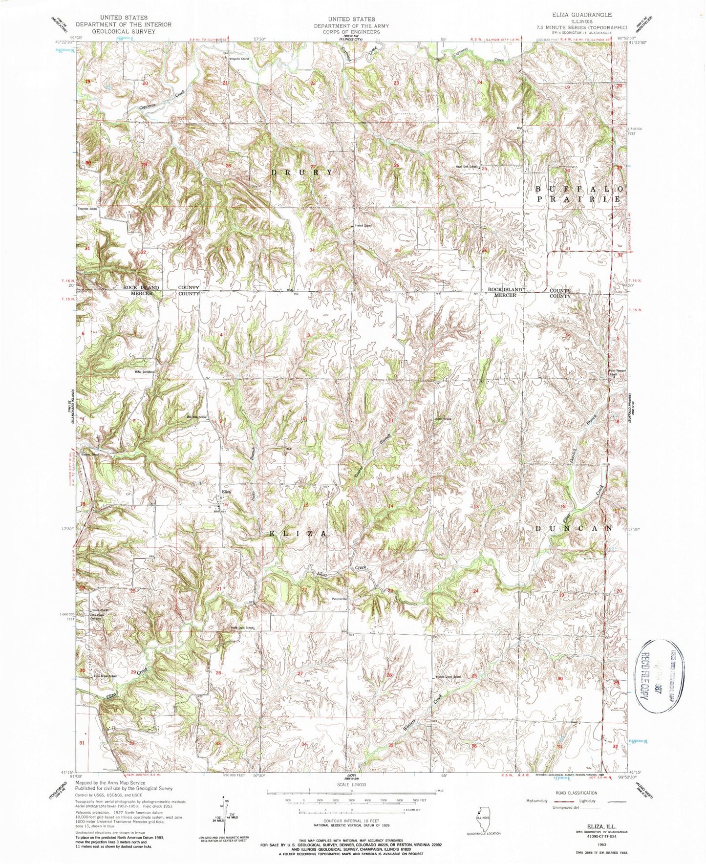
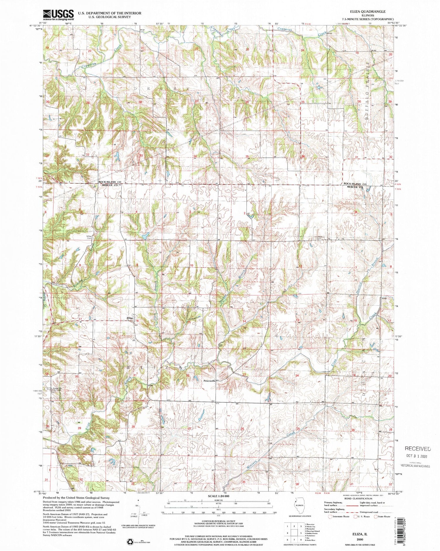
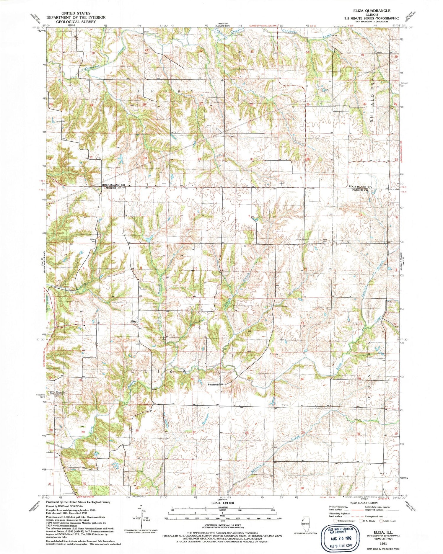
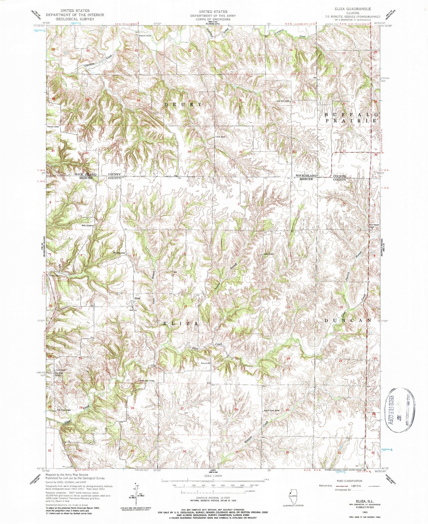
Classic USGS Eliza Illinois 7.5'x7.5' Topo Map
Couldn't load pickup availability
Historical USGS topographic quad map of Eliza in the state of Illinois. Map scale may vary for some years, but is generally around 1:24,000. Print size is approximately 24" x 27"
This quadrangle is in the following counties: Mercer, Rock Island.
The map contains contour lines, roads, rivers, towns, and lakes. Printed on high-quality waterproof paper with UV fade-resistant inks, and shipped rolled.
Contains the following named places: Center School, Deerlick Branch, Eliza, Eliza Census Designated Place, Eliza Creek Cemetery, Eliza Creek School, French School, Glancey School, Hazel Dell School, Irwin Branch, Leech Cemetery, Miller Cemetery, New Boston - Eliza Fire Protection District Station 2, Oak Dale School, Petersville, Point Pleasant School, Thornton School, Township of Eliza, Union Church, White Eagle School, Winters Creek School, Wrayville Church, Yankee Branch