
MyTopo
Classic USGS Elizabeth Lake Idaho 7.5'x7.5' Topo Map
Couldn't load pickup availability
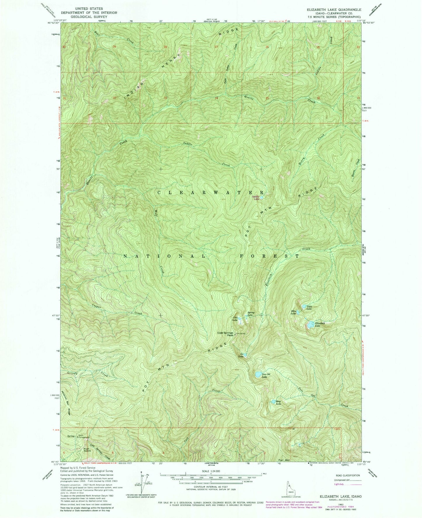
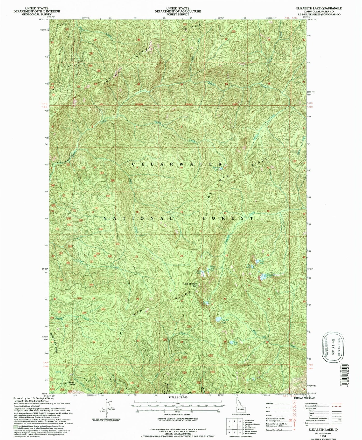
Historical USGS topographic quad map of Elizabeth Lake in the state of Idaho. Map scale may vary for some years, but is generally around 1:24,000. Print size is approximately 24" x 27"
This quadrangle is in the following counties: Clearwater.
The map contains contour lines, roads, rivers, towns, and lakes. Printed on high-quality waterproof paper with UV fade-resistant inks, and shipped rolled.
Contains the following named places: Cold Lake, Cold Springs Camp, Cold Springs Peak, Elizabeth Lake, Ellie Lake, Henry Creek, Ice Lake, Indian Creek, Indian Henry Ridge, Moscow Bar Ridge, Mush Campground, Mush Saddle, Pete Ott Lake, Pot Mountain Ridge, Ring Lake, Saddle Creek, Spring Lake, Tille Lake, Twin Cabin Creek, Wolf Creek