MyTopo
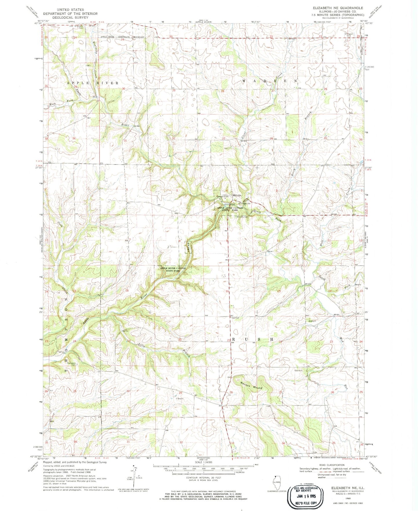
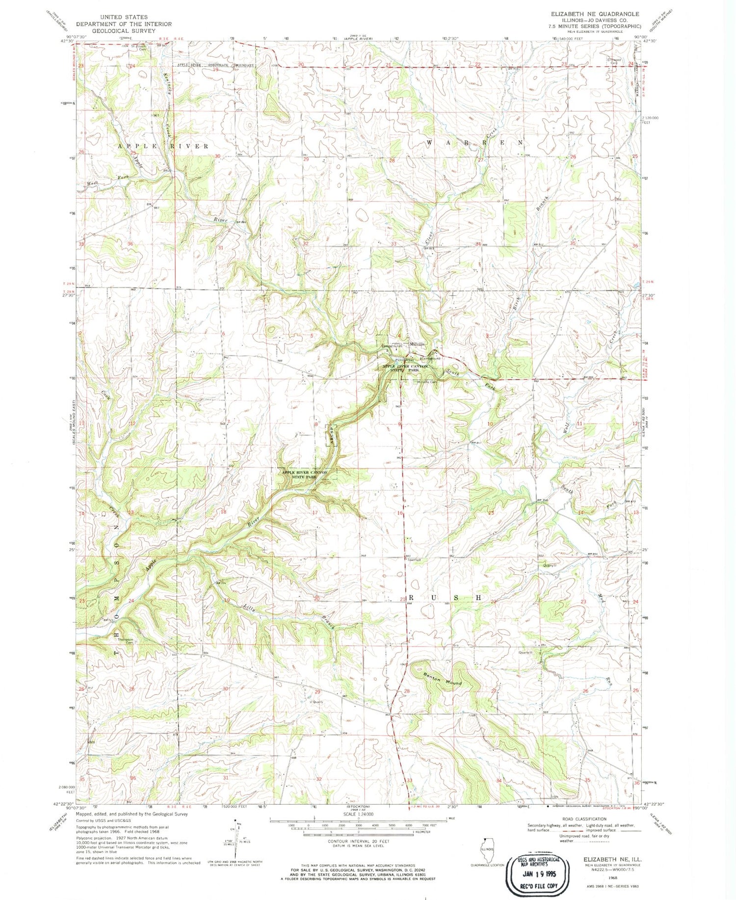
Classic USGS Elizabeth NE Illinois 7.5'x7.5' Topo Map
Couldn't load pickup availability
Historical USGS topographic quad map of Elizabeth NE in the state of Illinois. Map scale may vary for some years, but is generally around 1:24,000. Print size is approximately 24" x 27"
This quadrangle is in the following counties: Jo Daviess.
The map contains contour lines, roads, rivers, towns, and lakes. Printed on high-quality waterproof paper with UV fade-resistant inks, and shipped rolled.
Contains the following named places: Albion School, Apple River Canyon State Park, Benton Mound, Birch Branch, Brown School, Canyon Ridge Camping Area, Clear Creek, Devils Hollow Picnic Area, Elmwood Cemetery, Equal Rights School, Greenvale Post Office, Jefferson School, Kentucky Creek, Lilly Branch, Mead School, Millville, Millville Cemetery, Mud Run, Pepoon School, Pine Ridge Nature Trail, Primrose Nature Trail, River Route Nature Trail, Robinson School, Rockford School, Rush Center School, Saint Joseph Cemetery, South Fork Apple River, Sunset Nature Trail, Sweet Home, Sweet Home School, Thompson Cemetery, Tower Rock Nature Trail, Township of Rush, Township of Warren, Union School, Walnut Grove Youth Group Camping Area, West Fork Apple River, Wolf Creek, ZIP Code: 61001


