MyTopo
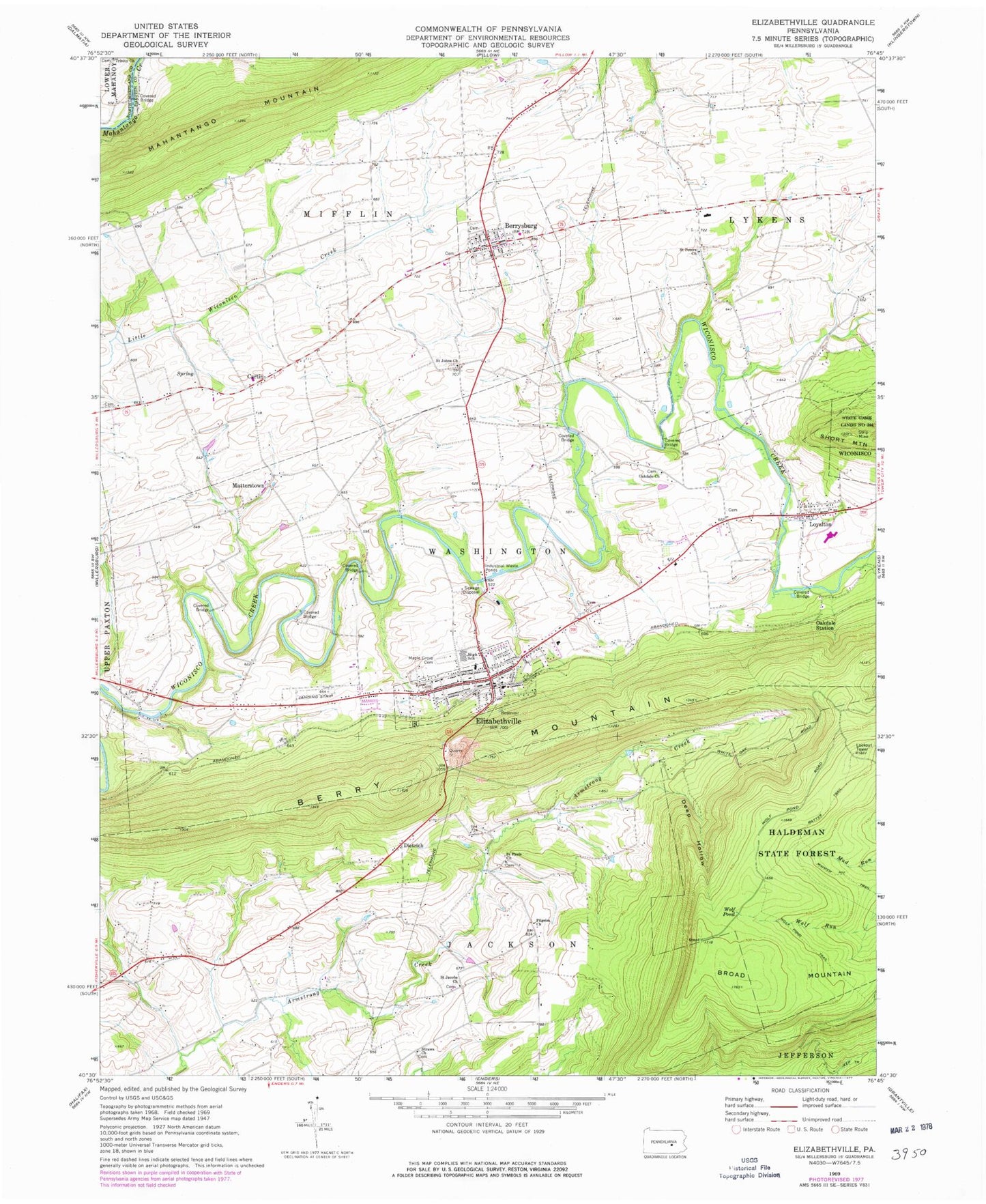
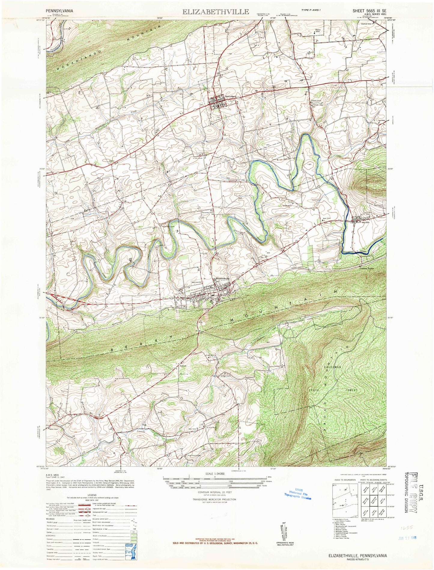
Classic USGS Elizabethville Pennsylvania 7.5'x7.5' Topo Map
Couldn't load pickup availability
Historical USGS topographic quad map of Elizabethville in the state of Pennsylvania. Typical map scale is 1:24,000, but may vary for certain years, if available. Print size: 24" x 27"
This quadrangle is in the following counties: Dauphin, Northumberland.
The map contains contour lines, roads, rivers, towns, and lakes. Printed on high-quality waterproof paper with UV fade-resistant inks, and shipped rolled.
Contains the following named places: Berrysburg, Canoe Gap Run, Cartin, Deep Hollow, Dietrich, Elizabethville, Maple Grove Cemetery, Matterstown, Minnich Hit Trail, Oakdale Church, Oakdale Station, Pilgrim Church, Riegles Church, Saint Jacobs Church, Saint Johns Church, Saint Pauls Church, Saint Peters Church, Straws Church, Wolf Pond, Wolf Pond Trail, Haldeman State Forest, Koppenhoffer School, Keiters School, Miller School, Snyder School, Boyer School, Loyalton, Berry Mountain, Rowland Picnic Area, Conleys Creek, Grimms Trail, Borough of Berrysburg, Borough of Elizabethville, Township of Jackson, Township of Mifflin, Township of Washington, Harman Airport, Reliance Hose Company 1 Station 21, Berrysburg and Community Fire Company Station 26, Upper Dauphin County Emergency Services Station 6, Elizabethville Quarry, Dauphin Meadows Landfill, Pennsylvania State Police Troop H Lykens Station, Berrysburg Post Office, Elizabethville Post Office, Reigles Bible Fellowship Cemetery, Saint Johns Lutheran Church Cemetery, Old Stone Church Cemetery, Romberger Road Cemetery, Peace Church Cemetery, Saint Peters Cemetery, Straws Cemetery, Berrysburg Evangelical Brethren Cemetery, Saint Jacobs Lutheran and Reformed Church Cemetery, Boyer's School Cemetery, Sweitzers Memorial Cemetery, Oakdale Evangelical United Brethren Cemetery, Forneys United Brethren in Christ Cemetery, Matter Church Cemetery


