MyTopo
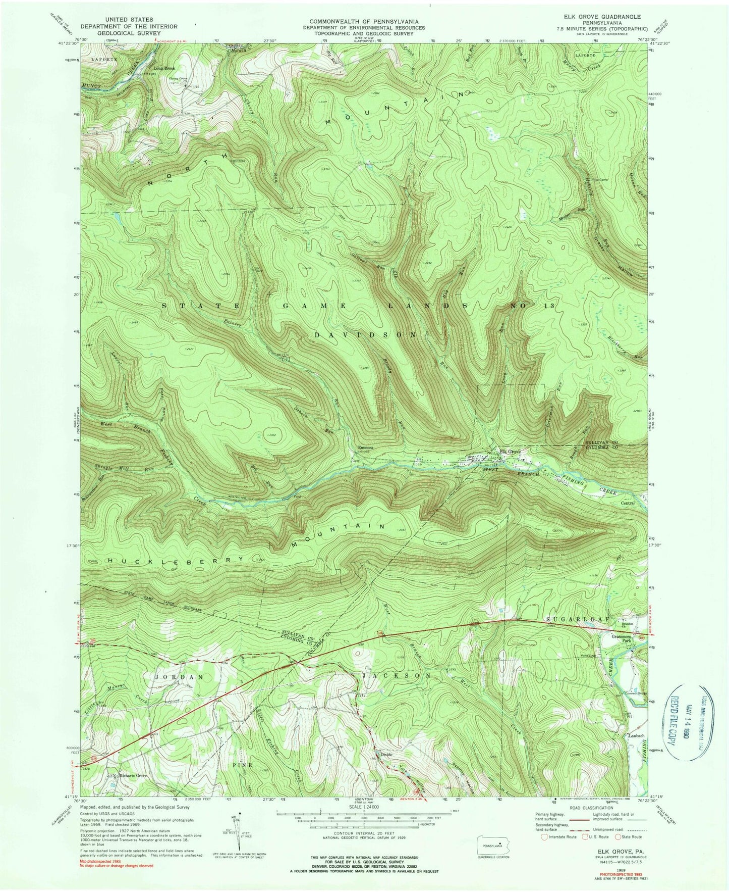
Classic USGS Elk Grove Pennsylvania 7.5'x7.5' Topo Map
Couldn't load pickup availability
Historical USGS topographic quad map of Elk Grove in the state of Pennsylvania. Typical map scale is 1:24,000, but may vary for certain years, if available. Print size: 24" x 27"
This quadrangle is in the following counties: Columbia, Lycoming, Sullivan.
The map contains contour lines, roads, rivers, towns, and lakes. Printed on high-quality waterproof paper with UV fade-resistant inks, and shipped rolled.
Contains the following named places: Big Run, Bloody Run, Brandon Church, Cherry Grove Church, Cherry Run, Deep Hollow, Elk Grove, Elk Run, Fritz Camp, Gallows Run, Grassmere Park, Hog Run, Huckleberry Mountain, Long Brook, Long Run, Meeker Run, Oxhorn Run, Painter Run, Peterman Run, Rough Run, Roundtop, Bearwallow Run, Shingle Mill Run, Sugarloaf School, Divide, Emmons, Laubach, Richarts Grove, Long Brook, Laurel Run, Township of Davidson, Richarts Grove Cemetery


