MyTopo
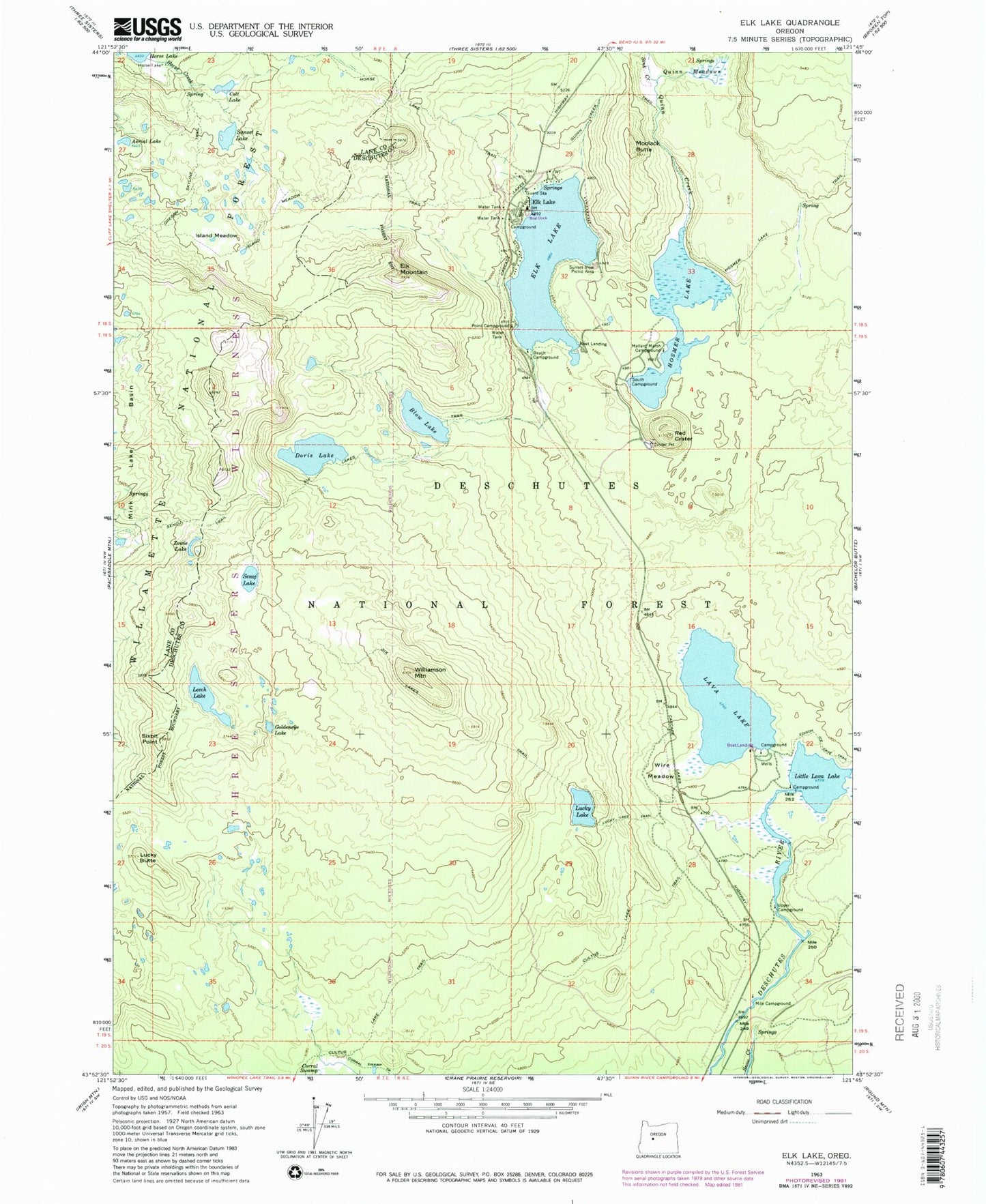
Classic USGS Elk Lake Oregon 7.5'x7.5' Topo Map
Couldn't load pickup availability
Historical USGS topographic quad map of Elk Lake in the state of Oregon. Typical map scale is 1:24,000, but may vary for certain years, if available. Print size: 24" x 27"
This quadrangle is in the following counties: Deschutes, Lane.
The map contains contour lines, roads, rivers, towns, and lakes. Printed on high-quality waterproof paper with UV fade-resistant inks, and shipped rolled.
Contains the following named places: Hosmer Lake Trail, Aerial Lake, Beach Recreation Site, Blow Lake, Colt Lake, Doris Lake, Elk Lake, Elk Lake, Elk Mountain, Goldeneye Lake, Horse Lake Guard Station, Horse Lake Trail, Island Meadow, Island Meadow Trail, Lava Lake, Leech Lake, Little Lava Lake, Lucky Butte, Lucky Lake, Lucky Lake Trail, Mallard Marsh Recreation Site, Mile Camp Recreation Site, Moolack Butte, Point Recreation Site, Quinn Creek, Quinn Creek Trail, Quinn Meadows, Red Crater, Senoj Lake, Senoj Trail, Sink Creek, Six Lakes, Six Lakes Trail, Sixbit Point, South Recreation Site, Sunset Lake, Sunset Lake Trail, Sunset View Recreation Site, Upper Campground (historical), Williamson Mountain, Wire Meadow, Zowie Lake, Elk Lake Springs, Elk Lake Pack Station, Elk Lake Guard Station, Lava Lake Boat Rental, Hosmer Lake, Elk Lake Lodge, Elk Lake Recreation Site, Little Fawn Recreation Site (historical), Elk Lake Post Office (historical), Quinn Meadows Horse Camp, Little Fawn Group Camp, Lava Lake Recreation Site, Lava Lake Resort, Little Lava Lake Recreation Site, Little Fawn Boat Launch, Point Campground Boat Launch, Elk Lake Campground Boat Launch, Elk Lake Marina, South Campground Hosmer Lake Boat Launch, Lava Lake Boat Ramp, Little Lava Lake Boat Ramp


