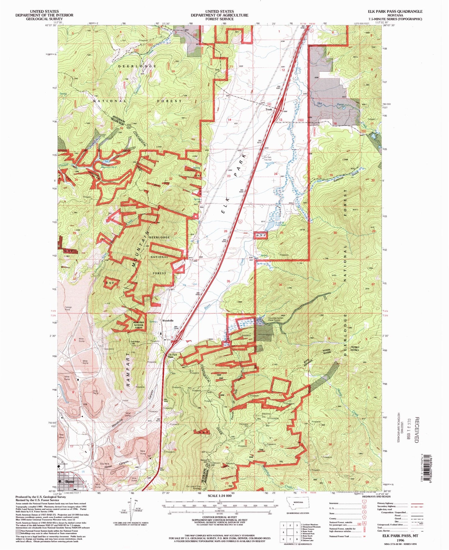
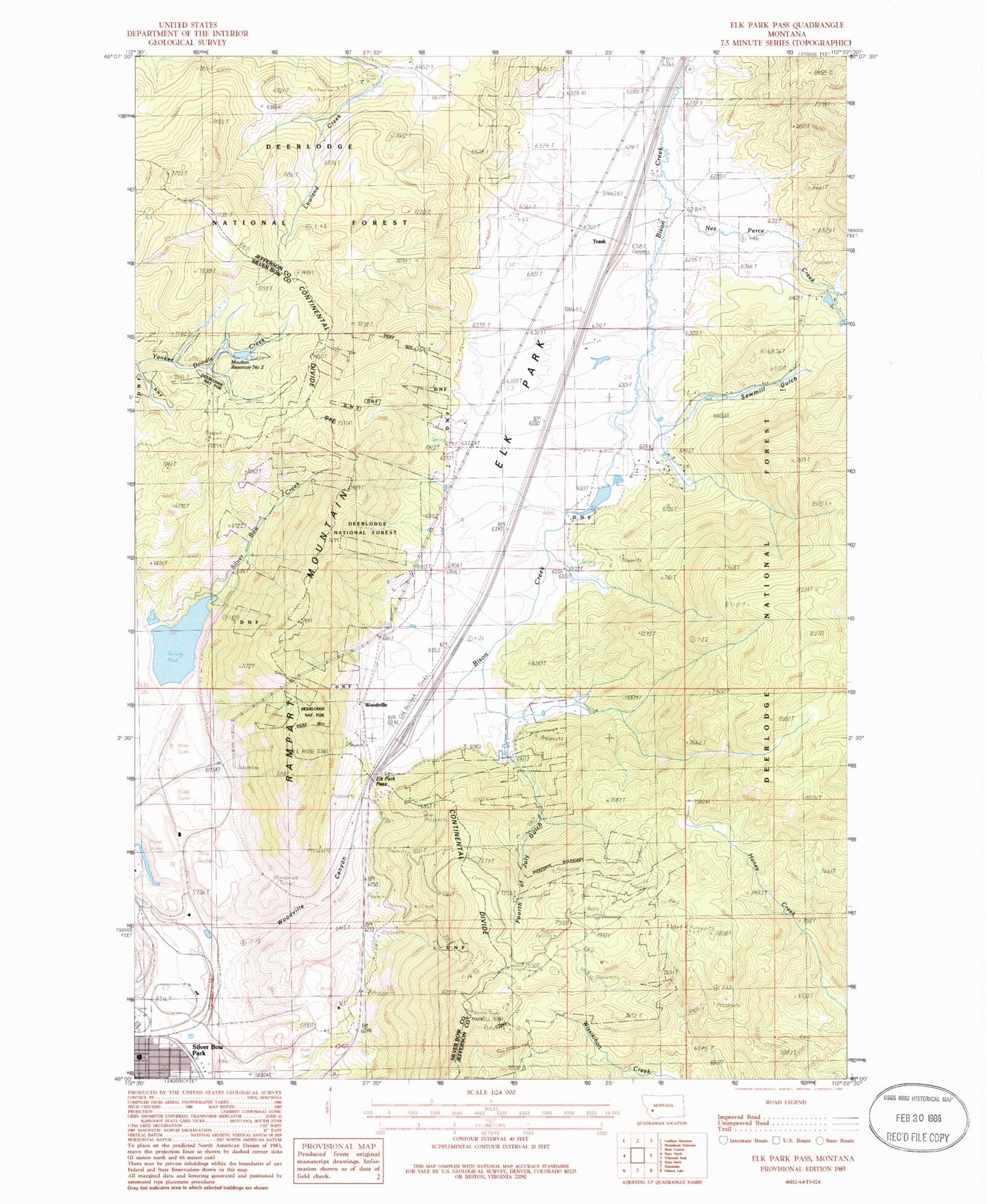
MyTopo
Classic USGS Elk Park Pass Montana 7.5'x7.5' Topo Map
Couldn't load pickup availability
Historical USGS topographic quad map of Elk Park Pass in the state of Montana. Map scale may vary for some years, but is generally around 1:24,000. Print size is approximately 24" x 27"
This quadrangle is in the following counties: Jefferson, Silver Bow.
The map contains contour lines, roads, rivers, towns, and lakes. Printed on high-quality waterproof paper with UV fade-resistant inks, and shipped rolled.
Contains the following named places: B and B Fish Pond Dam, B and B Fishpond, Bison Retriever Dam, Columbia Gardens, Columbia Gardens Water Supply, East Butte, Elk Park, Elk Park Fire Hall, Elk Park Pass, Elk Park Rural Fire District, Fourth of July Gulch, Horse Canyon, KOPR-FM (Butte), KQUY-FM (Butte), KTVM-TV (Butte), KXLF-TV (Butte), Last Chance Mine, Marie, Mary Emmee/Clinton Mine, McQueen, Monitor Tunnel, Montana Union Transfer, Moulton Reservoir Number 2, Moulton Reservoir Number 2 Dam, Mountain Junction, NE SW Section 18 Mine, Nez Perce Creek, NW NW Section 18 Mine, NW NW Section 19 Mine, Paraiso/Stumbling Bl Mine, Prospector/Brodie Number 2 Mine, Rampart Mountain, Rex/Vindicator Mine, Sawmill Gulch, SE SW Section 14 Mine, SE SW Section 3 Mine, Seventh Day Adventist Church, Silver Bow Park, Trask, Woodville, Woodville Canyon, Woodville Post Office, ZIP Code: 59701