MyTopo
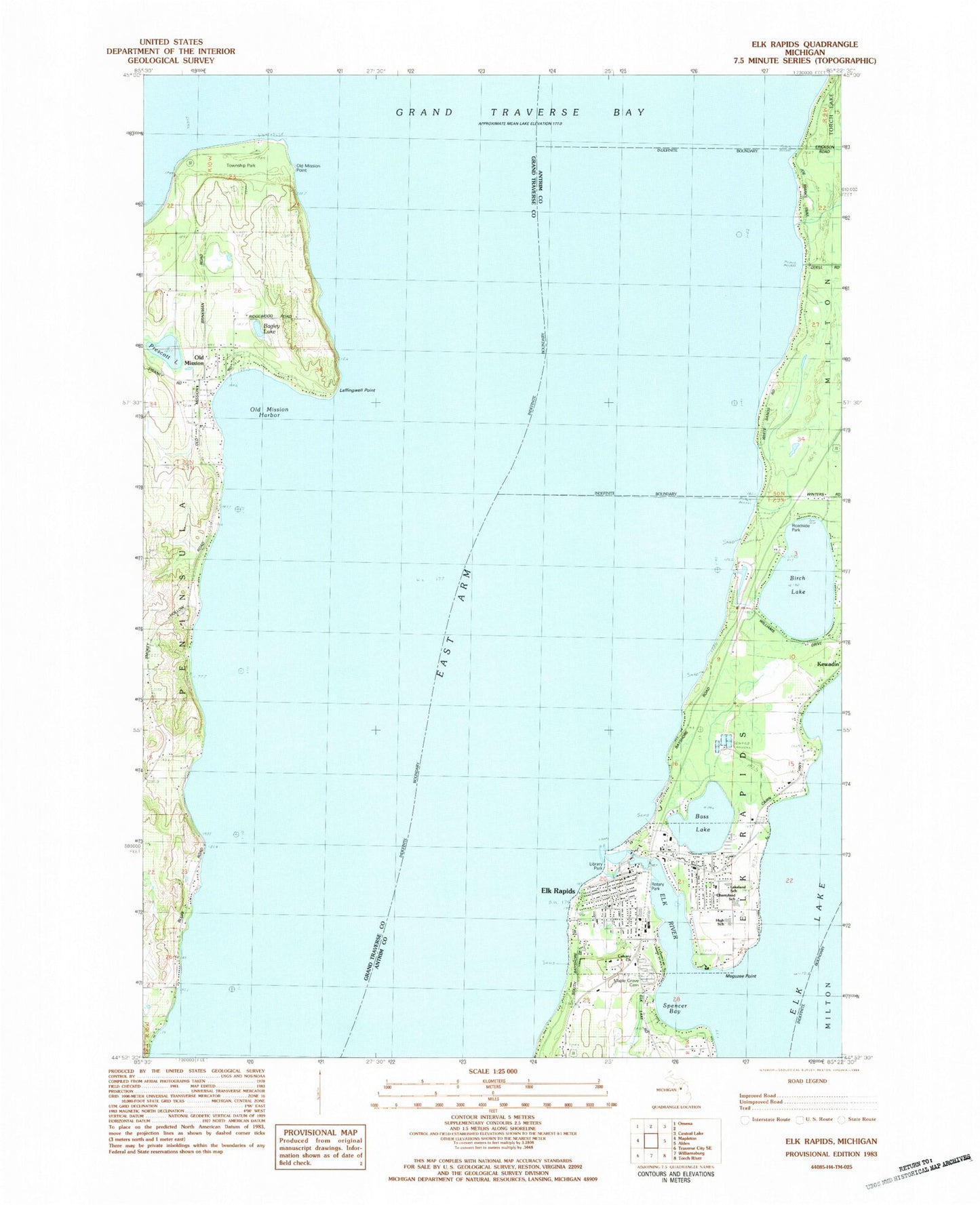
Classic USGS Elk Rapids Michigan 7.5'x7.5' Topo Map
Couldn't load pickup availability
Historical USGS topographic quad map of Elk Rapids in the state of Michigan. Map scale may vary for some years, but is generally around 1:24,000. Print size is approximately 24" x 27"
This quadrangle is in the following counties: Antrim, Grand Traverse.
The map contains contour lines, roads, rivers, towns, and lakes. Printed on high-quality waterproof paper with UV fade-resistant inks, and shipped rolled.
Contains the following named places: Bagley Lake, Bass Lake, Birch Lake, Calvary Church, Chain-O-Lakes Marine Incorporated, Cherryland School, East Arm Grand Traverse Bay, Edward C Grace Memorial Harbor, Elk Rapids, Elk Rapids Area Historical Museum, Elk Rapids Baptist Church, Elk Rapids Family Practice Clinic, Elk Rapids Fire Department and Emergency Medical Services, Elk Rapids Golf Course, Elk Rapids High School, Elk Rapids Iron Company Historical Marker, Elk Rapids Library, Elk Rapids Park, Elk Rapids Police Department, Elk Rapids Post Office, Elk Rapids Station, Elk Rapids Township Emergency Medical Services, Elk Rapids Township Hall, Elk Rapids United Methodist Church, Elk River, First Presbyterian Church, Haserot Beach, Hesler Log House Historical Marker, Honcho Rest Campground, Hydro Dam, Island House Historical Marker, Lakeland School, Lakeside Cemetery, Leffingwell Point, Library Park, Maple Grove Cemetery, Meguzee Point, North Beach, Old Mission, Old Mission Congregational Church, Old Mission Harbor, Old Mission Light, Old Mission Lighthouse Park, Old Mission Point, Old Mission Post Office, Paradine Creek, Prescott Lake, Rotary Park, Sacred Heart Church, Saint Paul's Episcopal Church, Spencer Bay, Township Hall Historical Marker, Township of Elk Rapids, Village of Elk Rapids, ZIP Code: 49629


