MyTopo
Classic USGS Elk Valley Idaho 7.5'x7.5' Topo Map
Regular price
$16.95
Regular price
Sale price
$16.95
Unit price
per
Couldn't load pickup availability
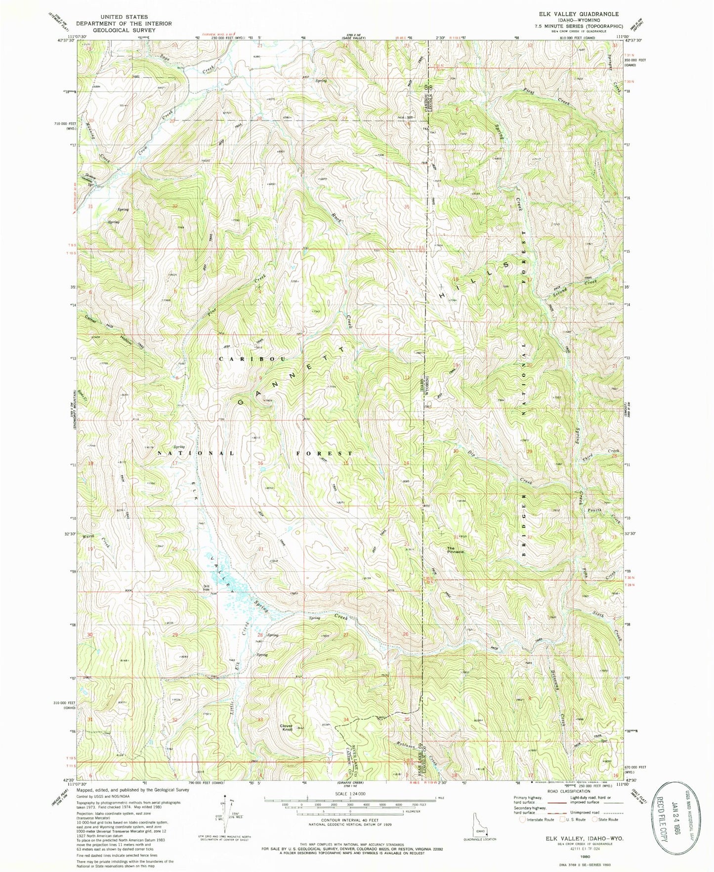
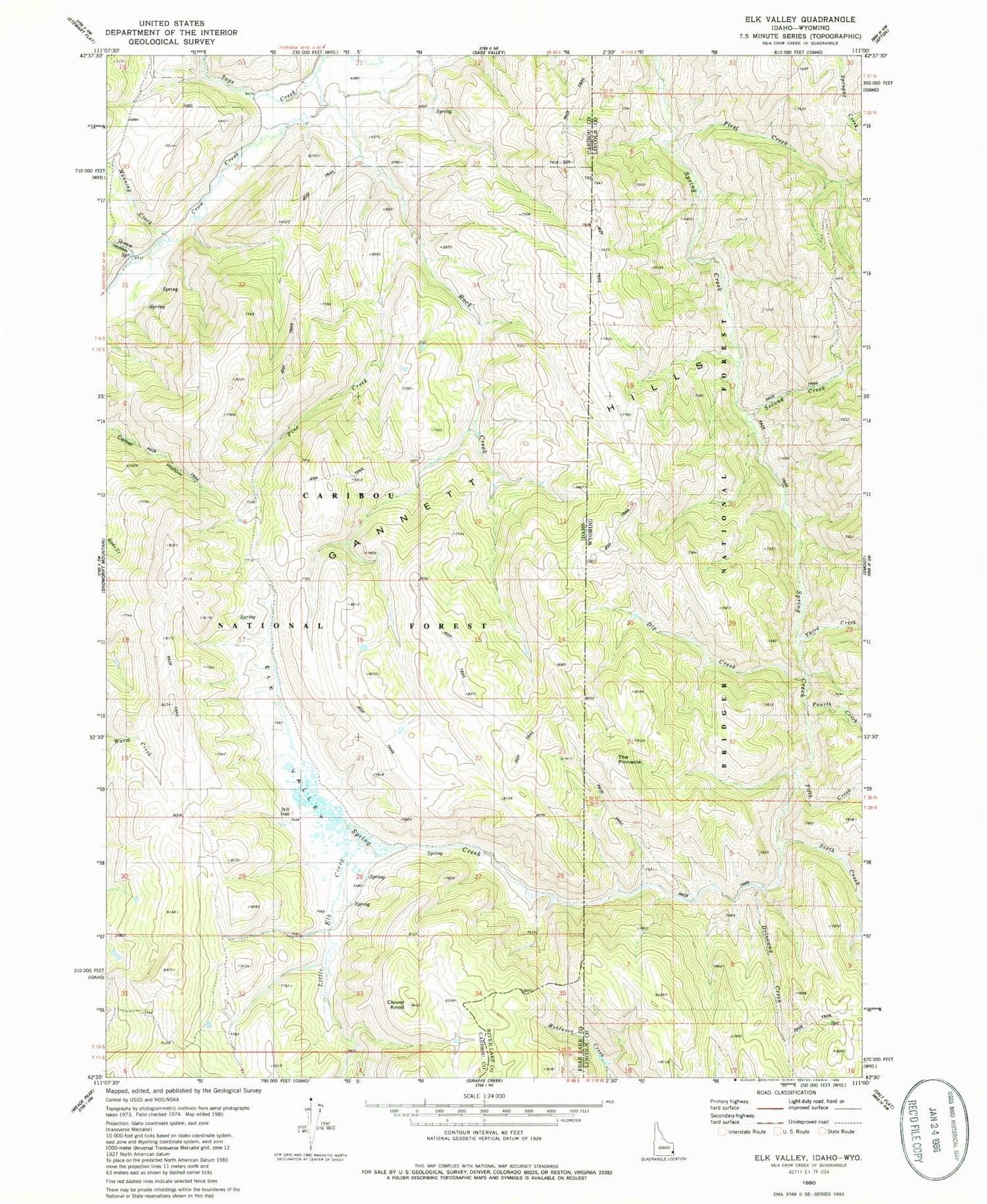
Historical USGS topographic quad map of Elk Valley in the states of Idaho, Wyoming. Map scale may vary for some years, but is generally around 1:24,000. Print size is approximately 24" x 27"
This quadrangle is in the following counties: Bear Lake, Caribou, Lincoln.
The map contains contour lines, roads, rivers, towns, and lakes. Printed on high-quality waterproof paper with UV fade-resistant inks, and shipped rolled.
Contains the following named places: Clover Knoll, Dip Creek, Driveway Creek, Fifth Creek, First Creek, Fourth Creek, Gannett Hills, Little Elk Creek, Manning Creek, Pine Creek, Quakie Hollow, Rock Creek, Sage Creek, Second Creek, Sixth Creek, The Pinnacle, Third Creek