
MyTopo
Classic USGS Elkhorn Peak Idaho 7.5'x7.5' Topo Map
Couldn't load pickup availability
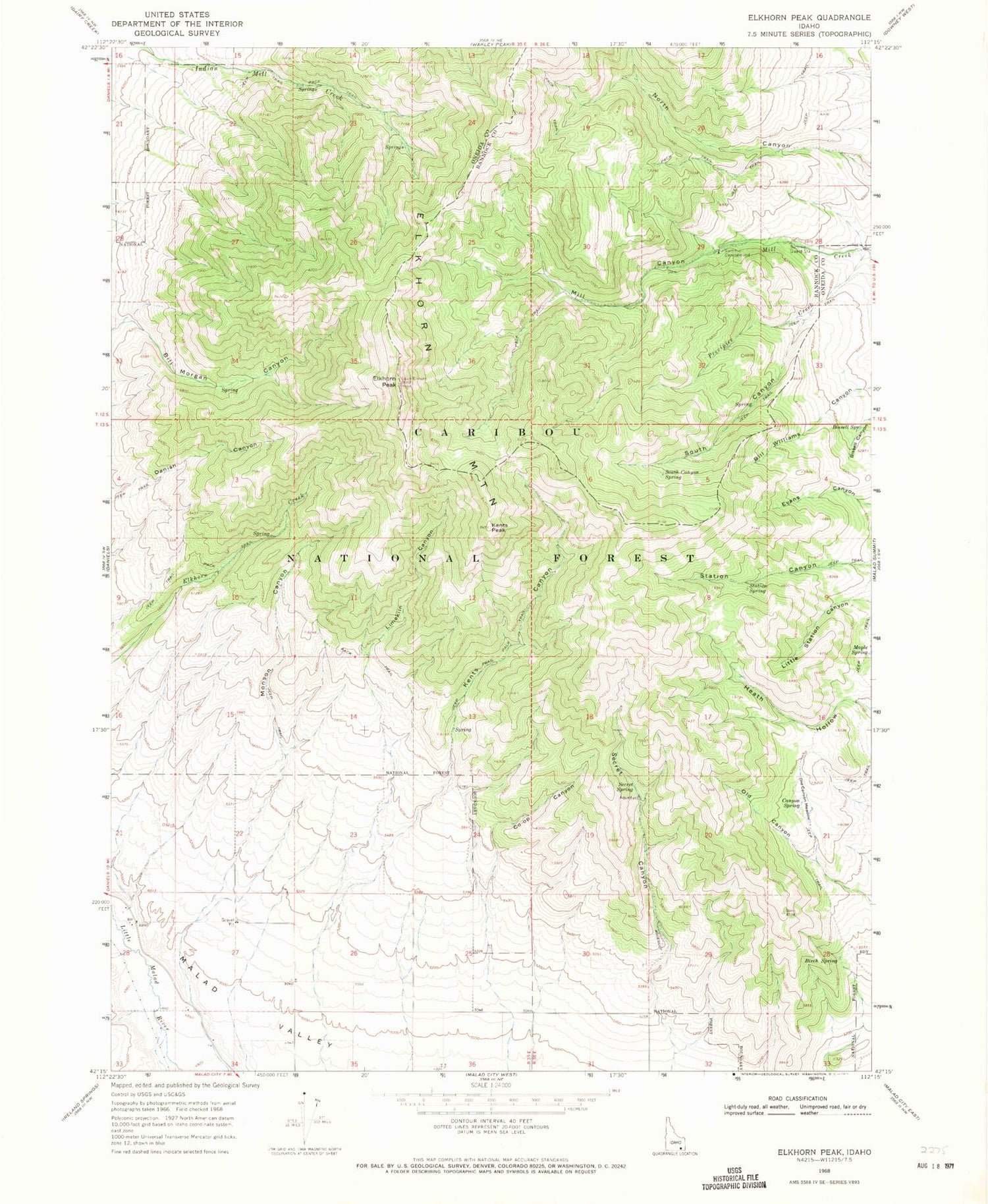
Historical USGS topographic quad map of Elkhorn Peak in the state of Idaho. Map scale may vary for some years, but is generally around 1:24,000. Print size is approximately 24" x 27"
This quadrangle is in the following counties: Bannock, Oneida.
The map contains contour lines, roads, rivers, towns, and lakes. Printed on high-quality waterproof paper with UV fade-resistant inks, and shipped rolled.
Contains the following named places: Bill Morgan Canyon, Bill Williams Canyon, Birch Spring, Bissell Canyon, Bissell Spring, Co-Op Canyon, Elkhorn Mountain, Elkhorn Peak, Kents Canyon, Kents Peak, Limekiln Canyon, Maple Spring, Mill Canyon, Monson Canyon, Old Canyon, Old Canyon Meadow, Old Canyon Spring, Precipice Creek, Secret Canyon, Secret Spring, South Canyon, South Canyon Spring, Station Spring, Summit Campground, Summit Guard Station


