MyTopo
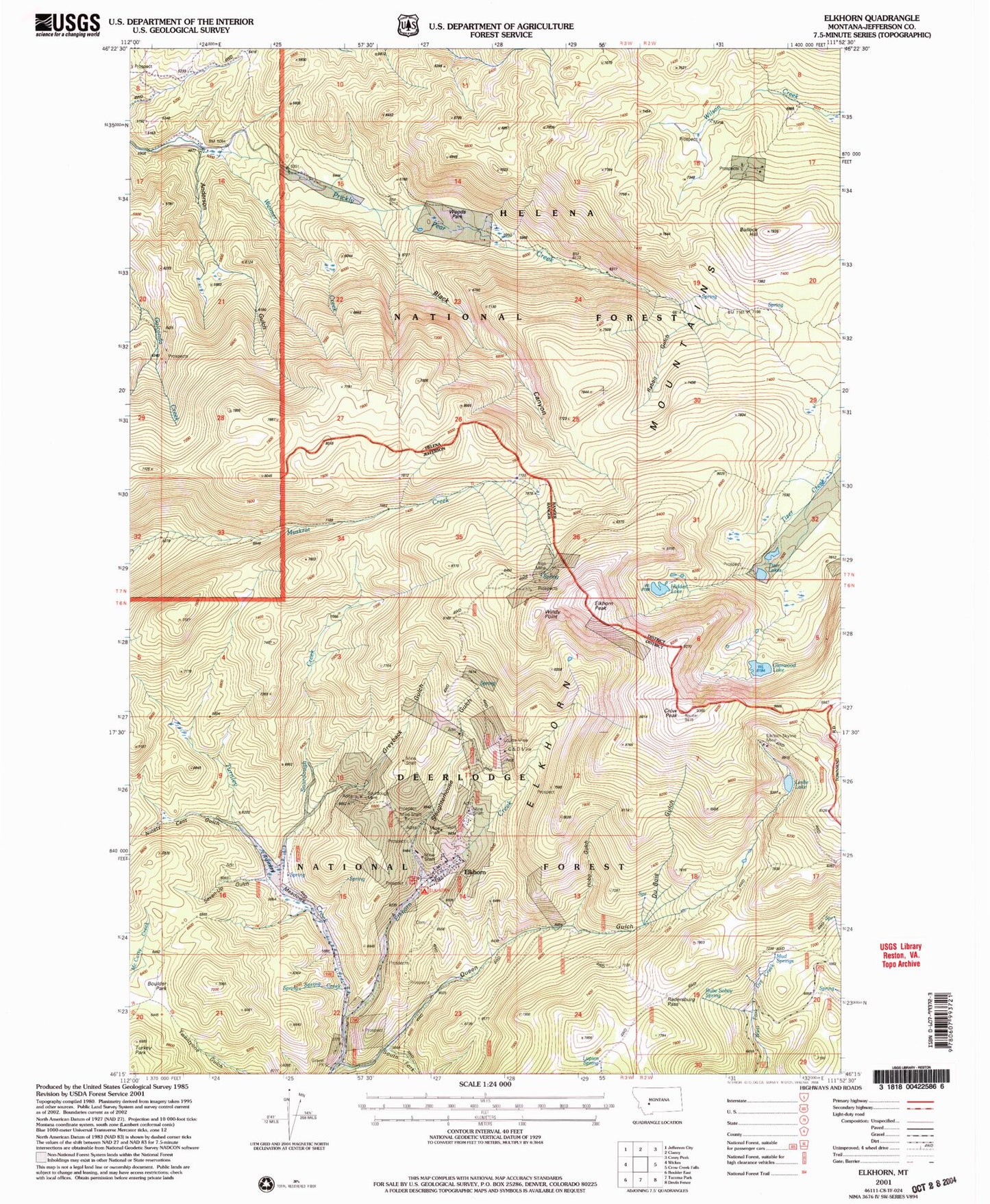
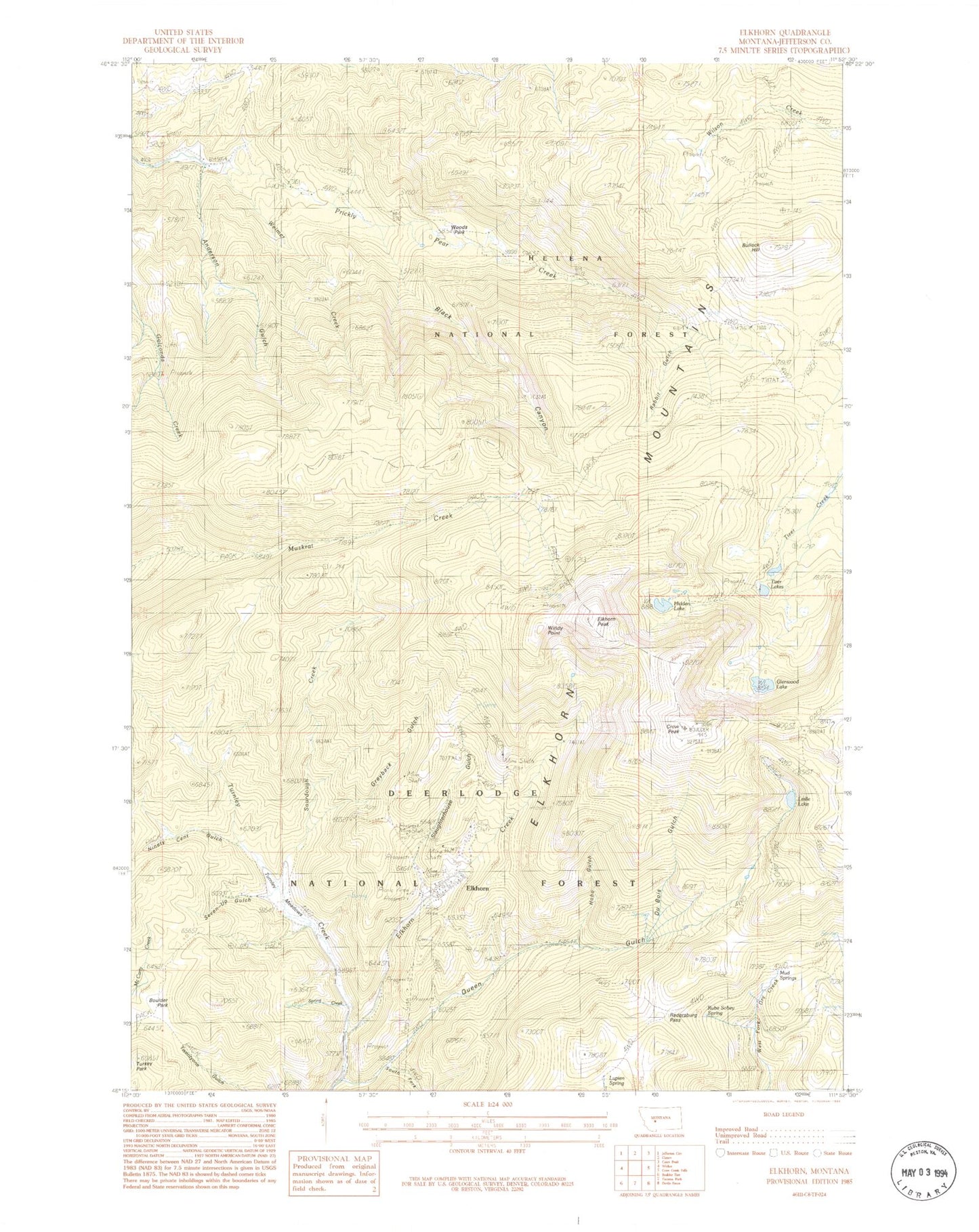
Classic USGS Elkhorn Montana 7.5'x7.5' Topo Map
Couldn't load pickup availability
Historical USGS topographic quad map of Elkhorn in the state of Montana. Typical map scale is 1:24,000, but may vary for certain years, if available. Print size: 24" x 27"
This quadrangle is in the following counties: Jefferson.
The map contains contour lines, roads, rivers, towns, and lakes. Printed on high-quality waterproof paper with UV fade-resistant inks, and shipped rolled.
Contains the following named places: Anderson Gulch, Black Canyon, Boulaway Mine, Bullock Hill, C and D Mine, Carmody Mine, Crow Peak, DuBois Gulch, East Butte Mine, Elkhorn, Elkhorn Peak, Elkhorn Skyline Mine, Glenwood Lake, Golden Moss Mine, Hardcash Mine, Heggen Mine, Hidden Lake, Hobo Gulch, Iron Mine, Leslie Lake, Louise Mine, Lupien Spring, Moreau Mine, Ninety Cent Gulch, Queen, Queen Gulch, Rabbit Gulch, Radersburg Pass, Seven-Up Gulch, Slaughterhouse Gulch, Sourdough Creek, Sourdough Mine, South Fork Queen Gulch, Spring Creek, Tizer Lakes, Turnley Creek, Union Mine, Weimer Creek, Elkhorn Picnic Area, Dunstone/Klondyke Mine, James R Keene Mine, Luxanburgh Mine, Skyline Mine, Seven-Up Gulch Mine, Golden Moss Mine, C and D Mine, King of Sweden Mine, Sourdough Mine, Carmody Mine, Iron Mine, SE NE Section 2 Mine, SE SW Section 1 Mine, Woods Park, Windy Point, Boulder Park, Turnley Meadows, Rube Sobey Spring, Greyback Gulch, Mud Springs, Tizer Lakes Fishing Access Site, Queen Post Office (historical), Elkhorn Post Office (historical), Sourdough (historical), Ruddville (historical), Queen (historical), Elkhorn (historical), Elkhorn State Park, Elkhorn Census Designated Place


