MyTopo
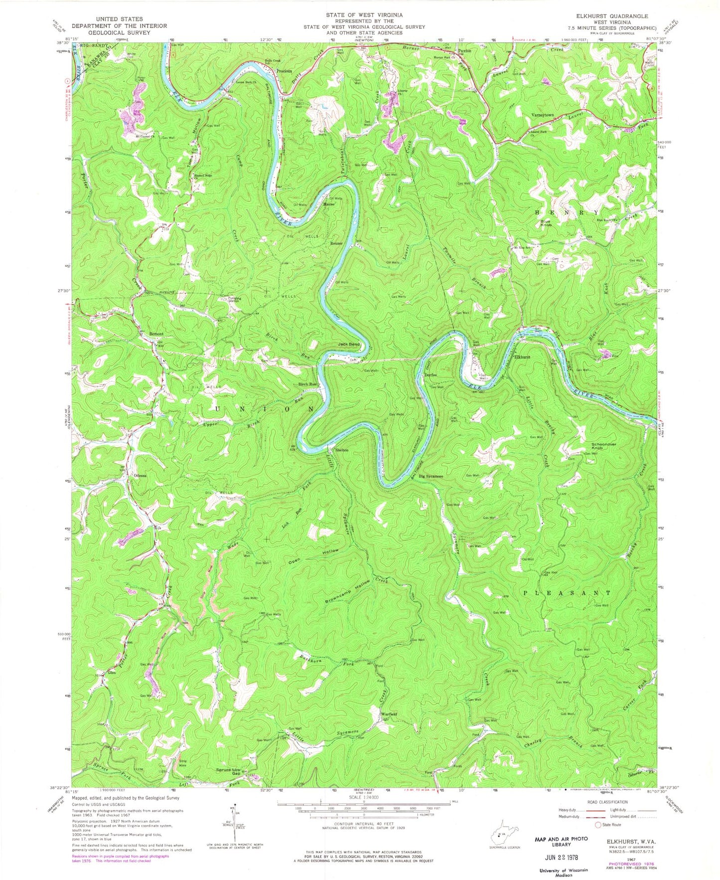
Classic USGS Elkhurst West Virginia 7.5'x7.5' Topo Map
Couldn't load pickup availability
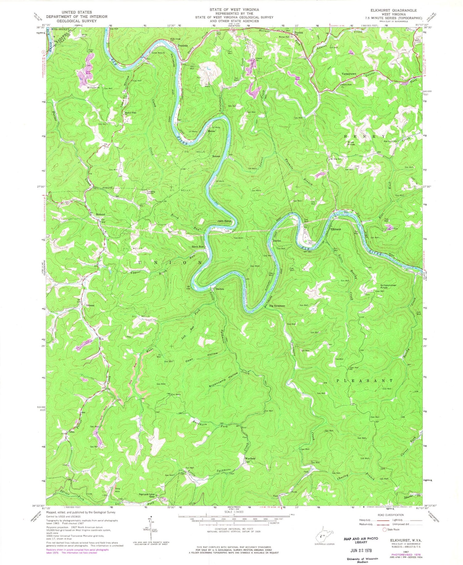
Historical USGS topographic quad map of Elkhurst in the state of West Virginia. Typical map scale is 1:24,000, but may vary for certain years, if available. Print size: 24" x 27"
This quadrangle is in the following counties: Clay, Kanawha.
The map contains contour lines, roads, rivers, towns, and lakes. Printed on high-quality waterproof paper with UV fade-resistant inks, and shipped rolled.
Contains the following named places: Beechy Creek, Big Sycamore, Birch Run, Blessed Hope Church, Blue Knob United Methodist Church, Blue Knob Creek, Browncamp Hollow, Buckhorn Fork, Camp Creek, Charley Branch, Dulls Creek, Dulls Creek School (historical), Horner Fork, Horners Fork Missionary Baptist Church, Jack Bend, Laurel Creek, Laurel Fork, Laurel Fork Church, Left Fork Spruce Fork, Burke Memorial United Methodist Church, Liberty Church, Lick Run, Little Beechy Creek, Little Sycamore Creek, Mount Carmel Church, Mount Zion School (historical), Open Hollow, Paxton, Reed Fork, Right Fork Spruce Fork, Spruce Low Gap, Summers Fork, Sycamore Creek, Toms Hollow, Twistabout Creek, Twomile Branch, Wade Fork, White Cemetery, Bomont, Glen, Odessa, Warfield, Birch Run, Blue Knob, Marne, Procious, Rouzer, Schoonover Knob, Shelton, Varneytown, Dorfee, Elkhurst, Hart Spring, Bethel Community Church, Blue Knob Cemetery, Bomont Methodist Church, Bomont Post Office, Davis Cemetery, Dulls Creek Cemetery, Glen Post Office, H E White Elementary School, Pierson Cemetery, Procious Post Office, District C, Mullins Cemetery, Samples Cemetery, Tanner Cemetery, Camp Creek Bridge, Elkhurst Bridge, West Virginia State Police Troop 4 - Clay Detachment


