MyTopo
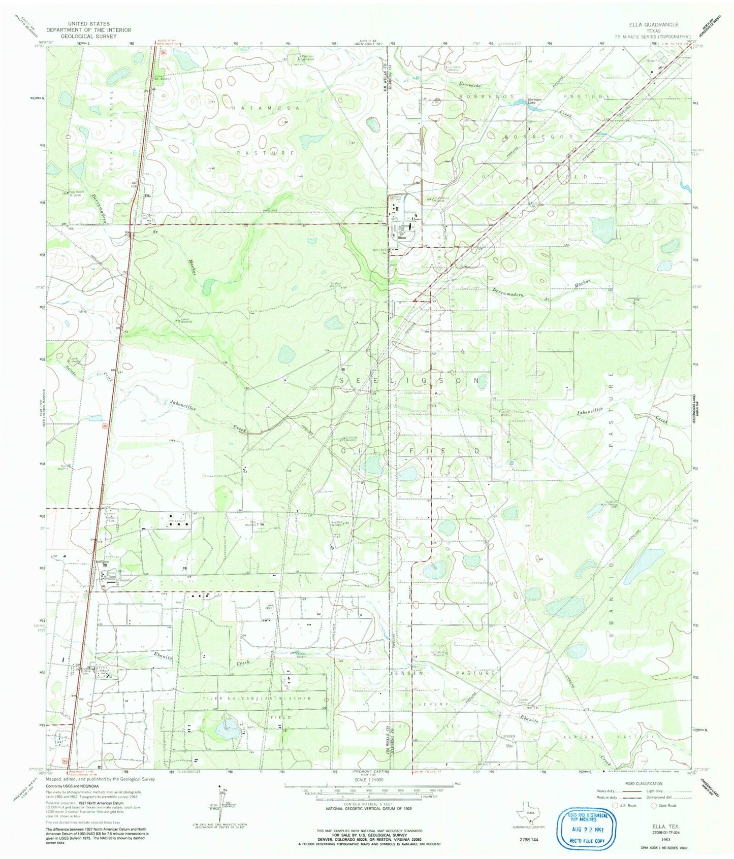
Classic USGS Ella Texas 7.5'x7.5' Topo Map
Couldn't load pickup availability
Historical USGS topographic quad map of Ella in the state of Texas. Map scale may vary for some years, but is generally around 1:24,000. Print size is approximately 24" x 27"
This quadrangle is in the following counties: Jim Wells, Kleberg.
The map contains contour lines, roads, rivers, towns, and lakes. Printed on high-quality waterproof paper with UV fade-resistant inks, and shipped rolled.
Contains the following named places: Big Cabeza Pasture, Big Cabeza Windmill, Borregos Lake, Borregos Pasture, Cabeza Windmill, Charco Largo, Ebanito Camp, Ebanito Pasture, Ebanito Windmill, Ella, Ella Pasture, Ella Windmill, Guajalote Windmill, Javalina Windmill, Jensen Pasture, King Ranch Windmill, Lamar Windmill, Little Cabeza Pasture, Little Cabeza Windmill, Los Voces Windmill, Nancy Windmill, New Well Windmill, Papalote de en Medio, Pens Windmill, Ratamosa Pasture, Ratamosa Windmill, Salado Creek, Seeligson