
MyTopo
Classic USGS Ellaville North Georgia 7.5'x7.5' Topo Map
Couldn't load pickup availability
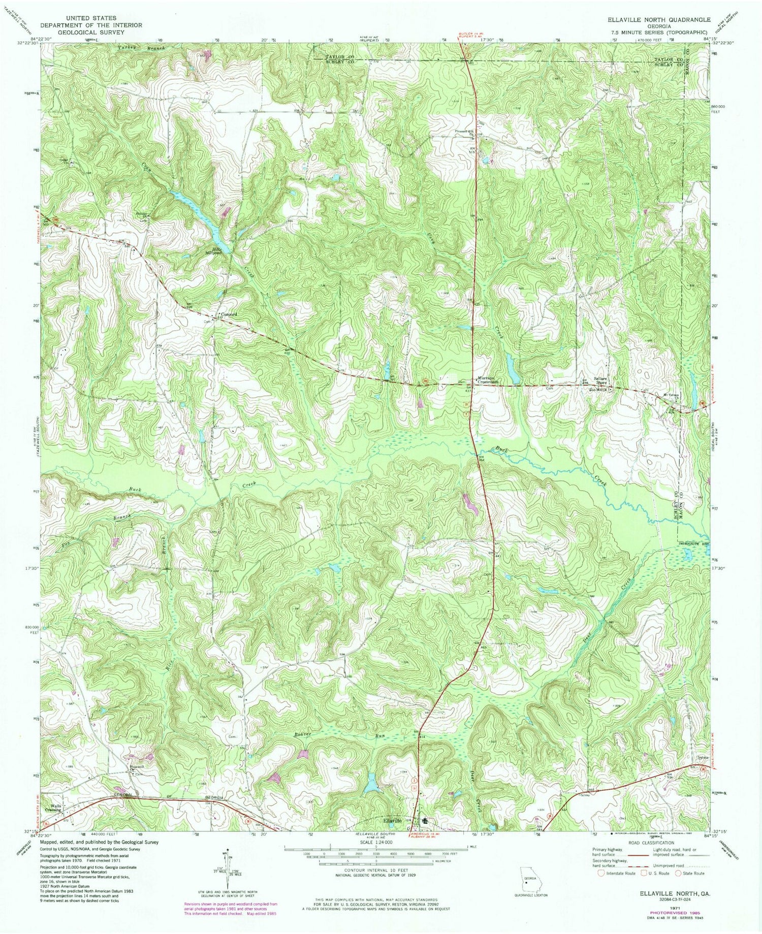
Historical USGS topographic quad map of Ellaville North in the state of Georgia. Map scale may vary for some years, but is generally around 1:24,000. Print size is approximately 24" x 27"
This quadrangle is in the following counties: Macon, Schley, Taylor.
The map contains contour lines, roads, rivers, towns, and lakes. Printed on high-quality waterproof paper with UV fade-resistant inks, and shipped rolled.
Contains the following named places: American Legion Dam, American Legion Lake, Beaver Run, Brays Mill Pond, Cedar Church, Concord, Concord Methodist Church, Coon Creek, Deer Creek, Ellaville North Division, Fox Branch, Hill Dam, Hill Lake, Hills Millpond, Hills Millpond Dam, Hopewell Church, Hopewell Methodist Church Cemetery, Lanceford Lake, Lanceford Lake Dam, Mount Vernon Church, Murrays Crossroads, Owens Lake, Owens Lake Dam, Philippi Church, Pleasant Hill Church, Rice Branch, Rock Hill Church, Rufus Peepe Dam North, Rufus Peepe Dam South, Rufus Peepe Lake North, Rufus Peepe Lake Suth, Schley County, Sellars Store, Trice Lake, Trice Lake Dam, Usry Creek, Walls Crossing, Walls Fish Pond, Wells Lake, Zion Hill Church, ZIP Code: 31806


