MyTopo
Classic USGS Ellaville Florida 7.5'x7.5' Topo Map
Couldn't load pickup availability
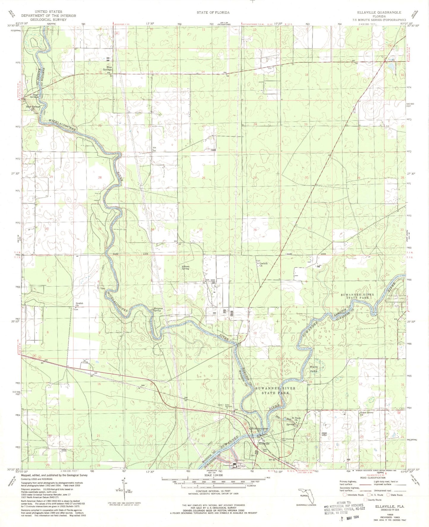
Historical USGS topographic quad map of Ellaville in the state of Florida. Typical map scale is 1:24,000, but may vary for certain years, if available. Print size: 24" x 27"
This quadrangle is in the following counties: Hamilton, Madison, Suwannee.
The map contains contour lines, roads, rivers, towns, and lakes. Printed on high-quality waterproof paper with UV fade-resistant inks, and shipped rolled.
Contains the following named places: Adams Spring, Beulah Church, Blue Springs, Blue Springs Church, Corinth Church, Dean Cemetery, Drew Mansion, Dry Run, Morgans Spring, Old Columbus Cemetery, Peter Grove Church, Saint Pauls Church, Suwanacoochee Spring, Suwannee River State Park, Withlacoochee River, Blue Springs, Ellaville, Crossroads, Blue Springs Airport, Suwannee River Power Plant, Hamilton County Fire and Rescue Department Crossroads Station, DJ Farm Airport