MyTopo
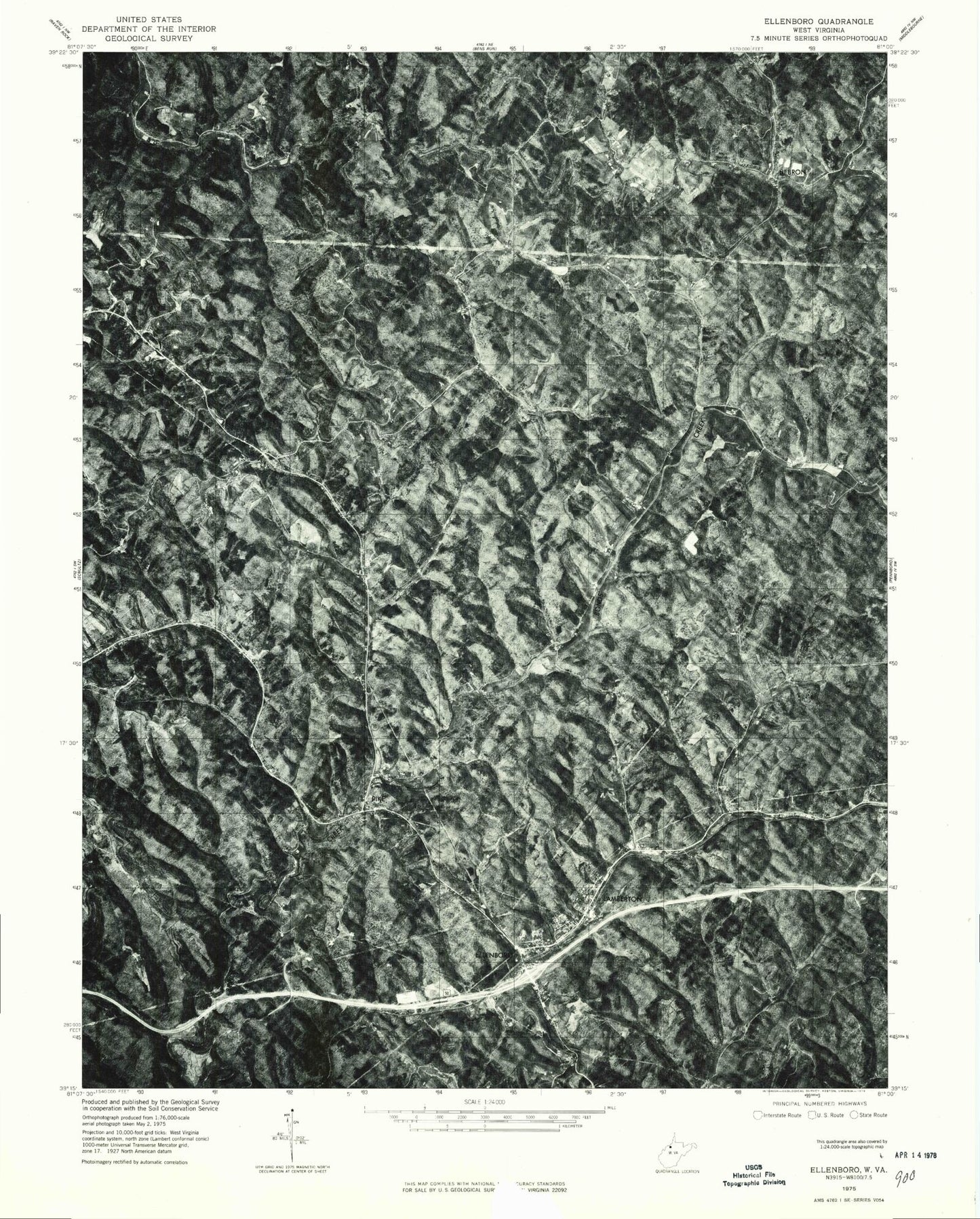
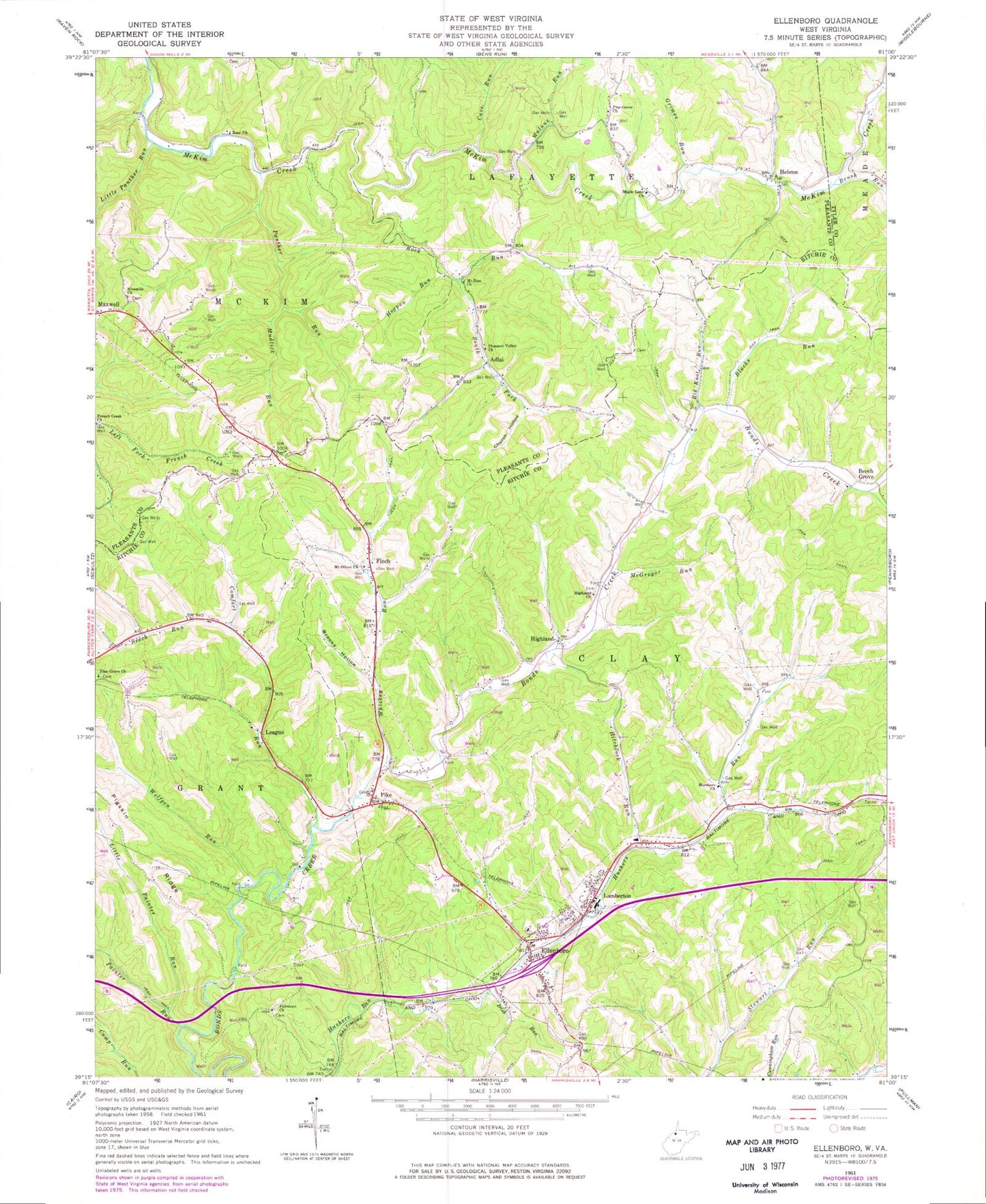
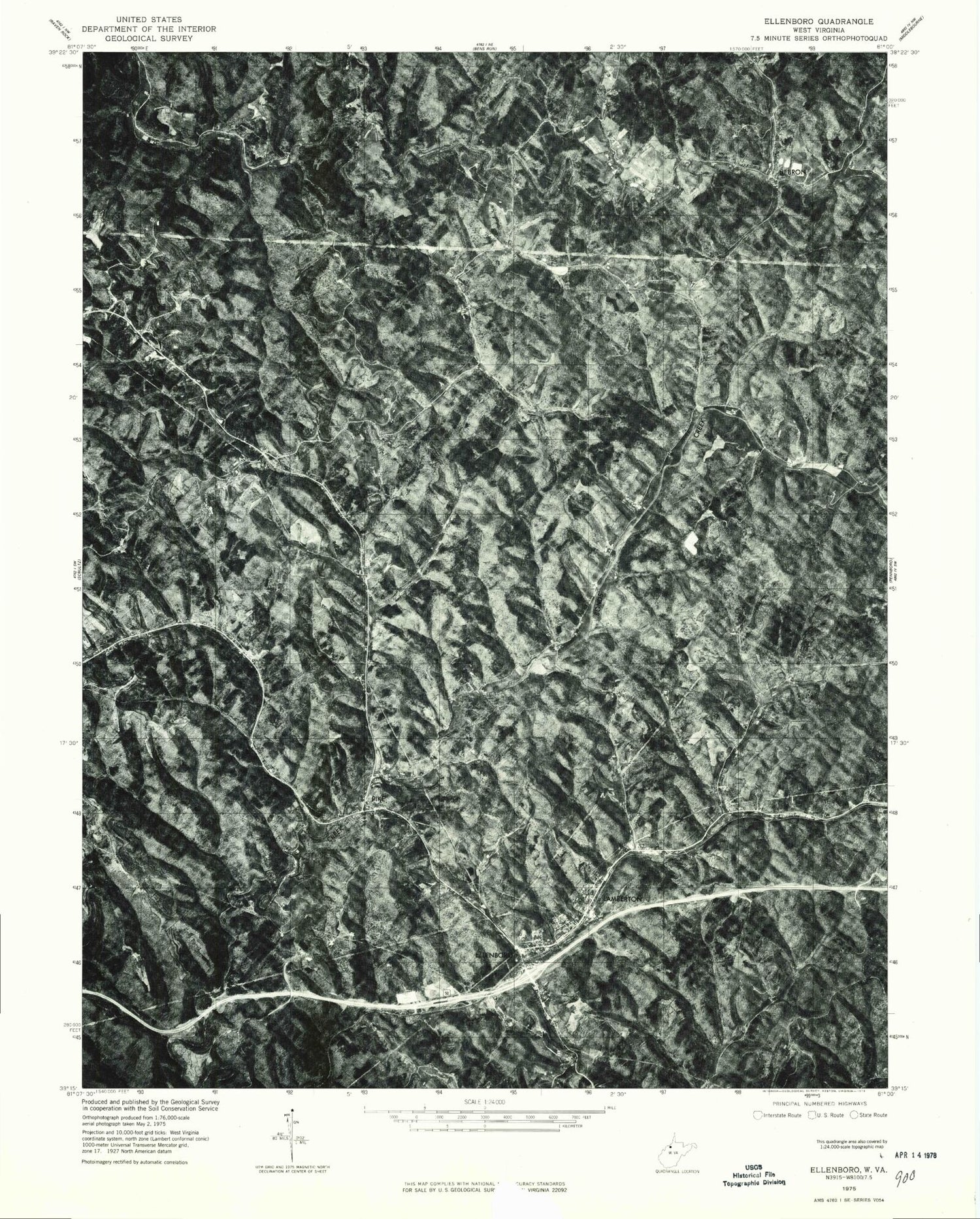
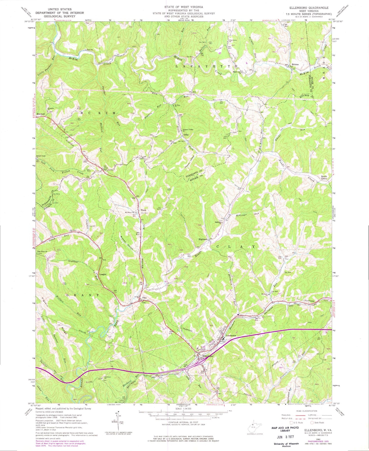
Classic USGS Ellenboro West Virginia 7.5'x7.5' Topo Map
Couldn't load pickup availability
Historical USGS topographic quad map of Ellenboro in the state of West Virginia. Map scale may vary for some years, but is generally around 1:24,000. Print size is approximately 24" x 27"
This quadrangle is in the following counties: Pleasants, Ritchie, Tyler.
The map contains contour lines, roads, rivers, towns, and lakes. Printed on high-quality waterproof paper with UV fade-resistant inks, and shipped rolled.
Contains the following named places: Adlai, Admiral, Beech Grove, Beech Run, Big Knot Run, Blacks Run, Brooks Hollow, Brush Run, Brush Run School, Cave Run, Church Hollow, Comfort Run, Crisp, Ellenboro, Ellenboro Cemetery, Ellenboro Elementary School, Ellenboro Post Office, Ellenboro Volunteer Fire Department, Fairmont Cemetery, Fairmont School, Fern, Finch, French Creek Church, Grimes Run, Hebron, Hebron Post Office, Highland, Highland Church, Highland Post Office, Hitchcock Run, Hogpen Run, Hurshers Church, Hushers Run Girder Bridge, Irish Run, Jamestown School, Lamberton, Larry Hacker Memorial Bridge, League, Little Painter Run, Little Panther Run, Maple Lane Cemetery, Maple Lane Church, Maple Lane Methodist Church, McGregor Run, Mount Olivet Church, Mount Zion Church, Mudlick Run, Nine Mile Cemetery, Nine Mile United Methodist Church, Ninemile School, Ninemile Schoolhouse, Oak Hill School, Painter Run, Panther Run, Pigskin Ridge, Pike, Pine Grove, Pine Grove Cemetery, Pine Grove Church, Pine Grove School, Pleasant Valley Church, Ritchie County High School, Ritchie County Middle School, Rock Run, South Fork Rock Run, Stewart Run School, The Highland School, Town of Ellenboro, Walnut Hill School, Walnut Run, Walnut Run School, Whiskey Run, Wolfpen Run, Zoar Church, ZIP Code: 26346


