MyTopo
Classic USGS Ellenburg Center New York 7.5'x7.5' Topo Map
Couldn't load pickup availability
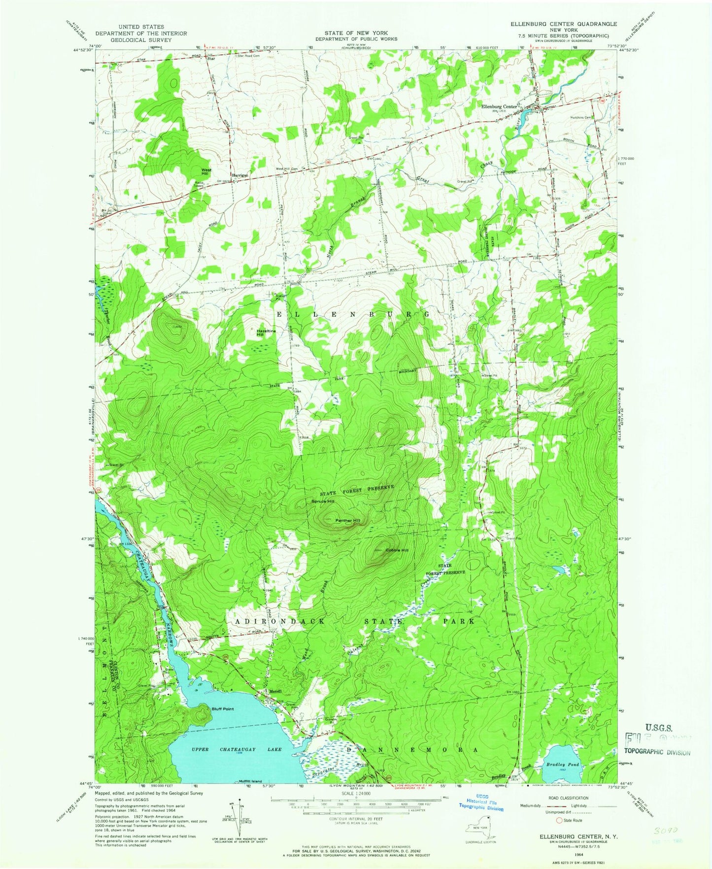
Historical USGS topographic quad map of Ellenburg Center in the state of New York. Typical map scale is 1:24,000, but may vary for certain years, if available. Print size: 24" x 27"
This quadrangle is in the following counties: Clinton, Franklin.
The map contains contour lines, roads, rivers, towns, and lakes. Printed on high-quality waterproof paper with UV fade-resistant inks, and shipped rolled.
Contains the following named places: Bluff Point, Bradley Pond, Chateaugay Narrows, Cobble Hill, Ellenburg Center, Hazeltine Hill, Hutchins Cemetery, Merrill, Moffitt Island, Ouleout Creek, Panther Hill, Spruce Hill, Star, Star Road Cemetery, Weed Brook, West Hill, West Hill Cemetery, Separator Brook, Harrigan, Town of Ellenburg, Hogan School (historical), West Hill School (historical), Bell School (historical), Steam Mill School (historical), Hammond School (historical), Gregory School (historical), Barrow School (historical), Ellenburg Center Fire Department, Ellenburg Center Post Office