MyTopo
Classic USGS Ellensburg South Washington 7.5'x7.5' Topo Map
Couldn't load pickup availability
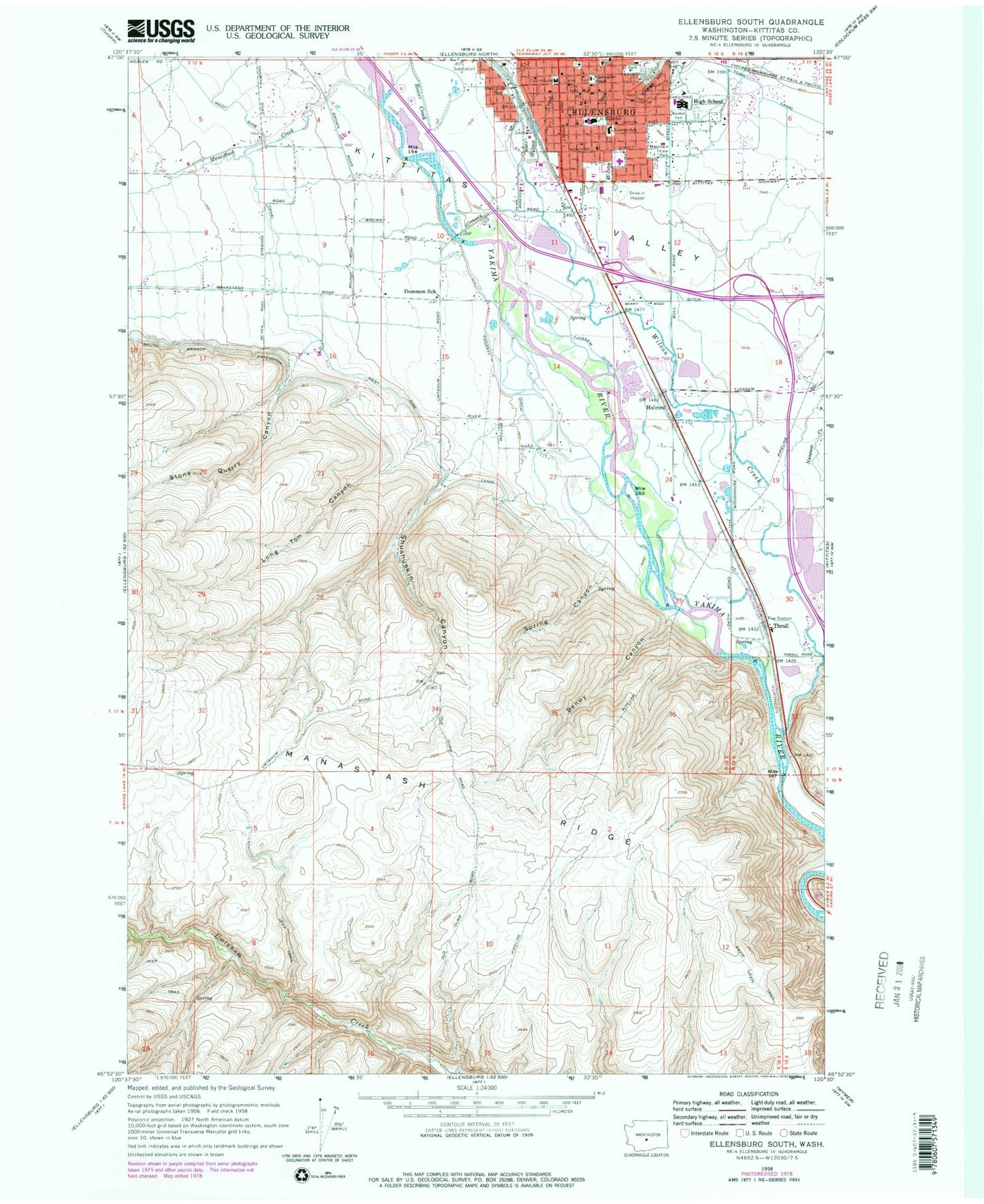
Historical USGS topographic quad map of Ellensburg South in the state of Washington. Typical map scale is 1:24,000, but may vary for certain years, if available. Print size: 24" x 27"
This quadrangle is in the following counties: Kittitas.
The map contains contour lines, roads, rivers, towns, and lakes. Printed on high-quality waterproof paper with UV fade-resistant inks, and shipped rolled.
Contains the following named places: Benwy Canyon, Bull Ditch, Cherry Creek, Davis Trail, Fogarty Ditch, Mountain View Park, Shushuskin Canyon, Spring Canyon, Tjossem Ditch, West Side Park, Holmes, Thrall, Craigs Hill, Tjossem Pond, Ellensburg High School, Ellensburg, Long Tom Canyon, Manastash Creek, Mercer Creek, Reecer Creek, Stone Quarry Canyon, Town Canal, Wilson Creek, Damman Elementary School, Washington Elementary School, Tjossem Pond Dam, Naneum Creek, Memorial Park, Reed Park, Saint Andrews School, Morgan Middle School, Clinesmith Irrigation Ditch, Whitney Park, KXLE-AM (Ellensburg), KXLE-FM (Ellensburg), Lincoln Elementary School, Ellensburg Division, City of Ellensburg, Kittitas Valley Fire and Rescue Central Headquarters, Kittitas Valley Hospital, Kittitas Valley Fire and Rescue District 2, Ellensburg Police Department, Kittitas County Sheriff's Office, Kittitas Fire and Rescue Station 1, Ellensburg Post Office


