
MyTopo
Classic USGS Ellerbe North Carolina 7.5'x7.5' Topo Map
Couldn't load pickup availability
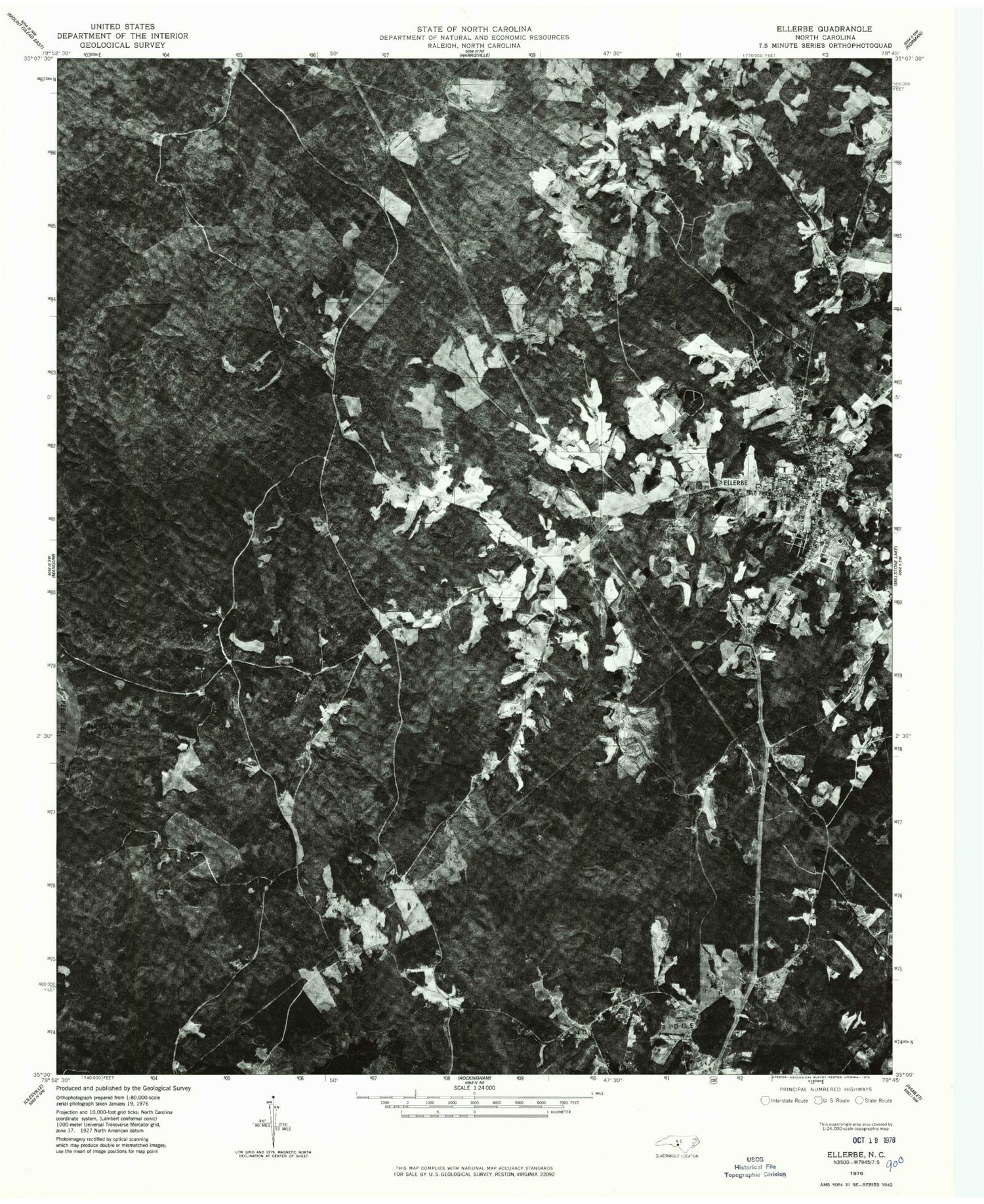
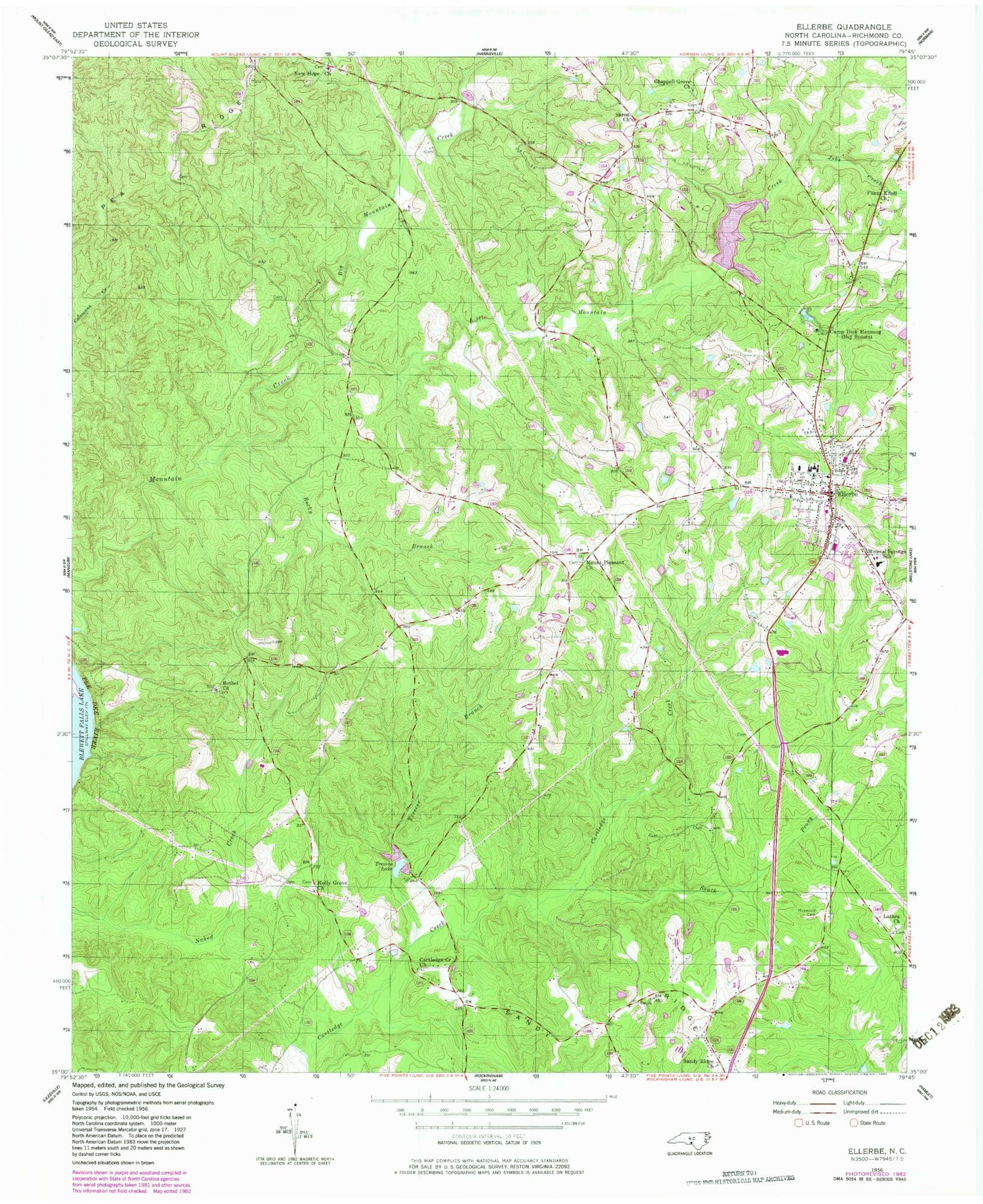
Historical USGS topographic quad map of Ellerbe in the state of North Carolina. Map scale may vary for some years, but is generally around 1:24,000. Print size is approximately 24" x 27"
This quadrangle is in the following counties: Richmond.
The map contains contour lines, roads, rivers, towns, and lakes. Printed on high-quality waterproof paper with UV fade-resistant inks, and shipped rolled.
Contains the following named places: Bethel Church, Camp Dick Henning, Cartledge Creek Church, Chappell Grove Church, Ellerbe, Ellerbe Elementary School, Ellerbe Fire Department, Ellerbe Middle School, Ellerbe Post Office, Ellerbe Rescue Squad, Flinty Knoll Church, Haywood Cemetery, Holly Grove Church, Jobes Creek, Lathea Church, Lentzton, Little Mountain Creek, Mineral Springs School, Mount Pleasant Church, New Hope Church, Rankin Pond, Rankin Pond Dam, Rocky Branch, Sandy Ridge, Sandy Ridge Church, Saron Church, South Prong Cartledge Creek, Town of Ellerbe, Township of Black Jack, Treeces Branch, Treeces Lake, ZIP Code: 28338


