MyTopo
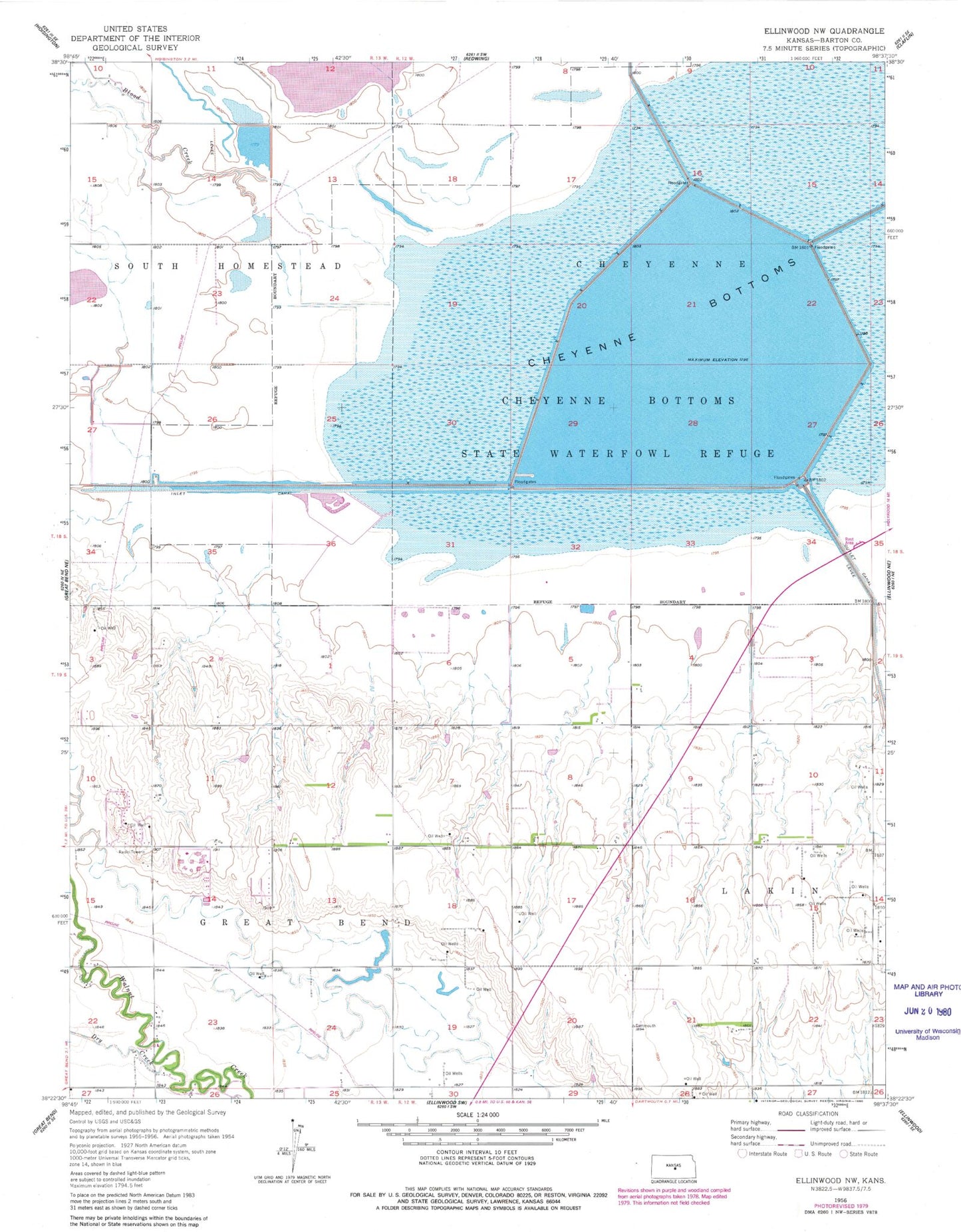
Classic USGS Ellinwood NW Kansas 7.5'x7.5' Topo Map
Couldn't load pickup availability
Historical USGS topographic quad map of Ellinwood NW in the state of Kansas. Map scale may vary for some years, but is generally around 1:24,000. Print size is approximately 24" x 27"
This quadrangle is in the following counties: Barton.
The map contains contour lines, roads, rivers, towns, and lakes. Printed on high-quality waterproof paper with UV fade-resistant inks, and shipped rolled.
Contains the following named places: Barton Community College - A Building, Barton Community College - C Building, Barton Community College - F Building, Barton Community College - L Building, Barton Community College - P Building, Barton Community College - S Building, Barton Community College - T Building, Barton Community College - U Building, Barton Community College Child Development Center, Barton Community College Kirkman Student Activity Center, Barton Community College Planetarium, Barton County Community College, Barton County Community College Water Treatment Facility, Barton County Landfill, Blood Creek, Button Airport, Cheyenne Bottoms, Cheyenne Bottoms Wildlife Area, Cheyenne View School, Community Christian Church, Dry Walnut Creek, Fort Hays State University Kansas Wetlands Education Center, Fort Zarah, KBJC-FM (Great Bend), L E Gus and Eva Shafer Memorial Art Gallery, Pool 1A, Pool 1B, Pool 1C, Pool 2, Pool 3A, Pool 3B, Pool 5, Township of Great Bend


