MyTopo
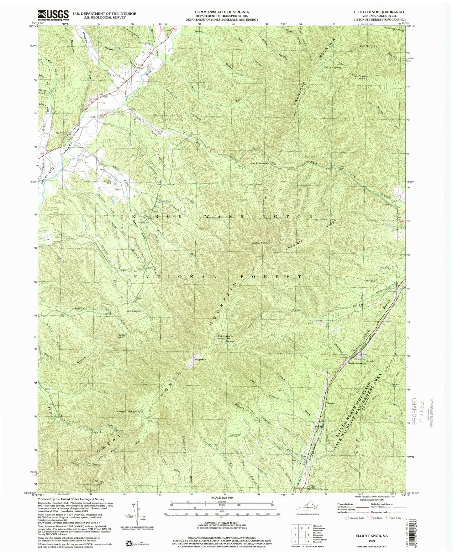
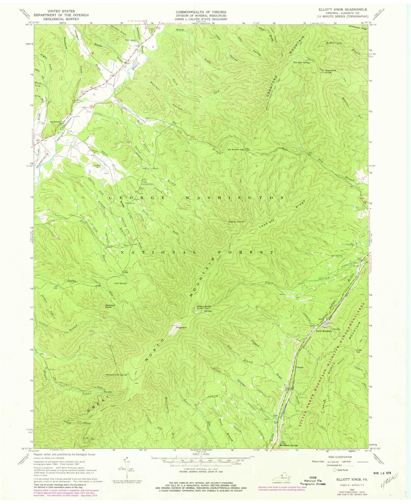
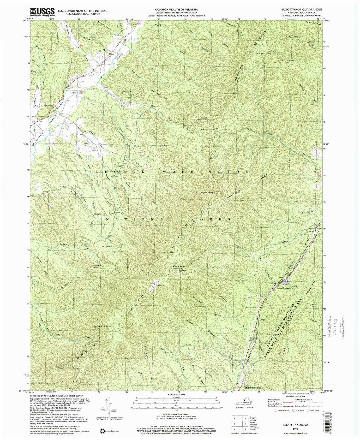
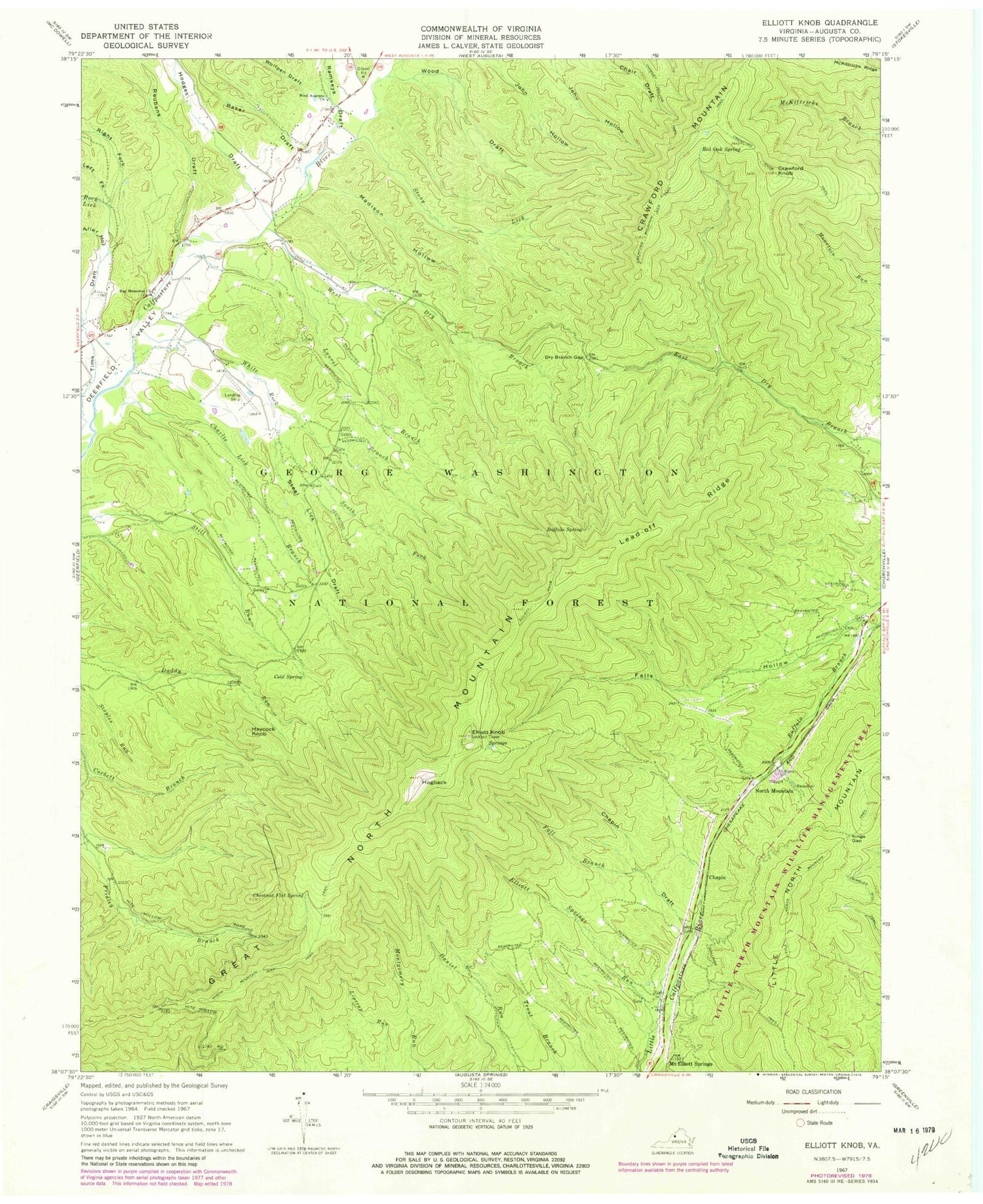
Classic USGS Elliott Knob Virginia 7.5'x7.5' Topo Map
Couldn't load pickup availability
Historical USGS topographic quad map of Elliott Knob in the state of Virginia. Typical map scale is 1:24,000, but may vary for certain years, if available. Print size: 24" x 27"
This quadrangle is in the following counties: Augusta.
The map contains contour lines, roads, rivers, towns, and lakes. Printed on high-quality waterproof paper with UV fade-resistant inks, and shipped rolled.
Contains the following named places: Alier Hollow, Baker Draft, Buffalo Spring, Chapin Draft, Charlie Lick Branch, Chestnut Flat Spring, Chimney Hollow Trail, Cold Spring, Crawford Knob, Crawford Knob Trail, Dry Branch Gap, Elliott Knob, Elliott Knob Trail, Elliott Springs Run, Fall Branch, Falls Hollow, Haycock Knob, Hodges Draft, Hogback, Kings Gap, Laurel Branch, Lead-Off Ridge, Left Fork Tims Draft, Little North Mountain Trail, Madison Hollow, Mount Elliott Springs, Ramseys Draft, Ray Memorial Church, Red Oak Spring, Reubens Draft, Right Fork Tims Draft, Rock Lick, South Fork White Rock Branch, Shillings Trail, Steel Lick Draft, Stony Lick, Trimbles Mill Trail, West August Church, West Dry Branch, White Rock Branch, Wolfpen Draft, Wood Draft, Elliot Knob Lookout Tower, Chapin, Crawford Mountain, Great North Mountain, North Mountain, WTON-FM (Staunton), WVPT-TV (Staunton), Clay Hill Church (historical), George Washington National Forest, Mount Elliott Post Office (historical), Pastures District


