MyTopo
Classic USGS Elliott Park Pennsylvania 7.5'x7.5' Topo Map
Couldn't load pickup availability
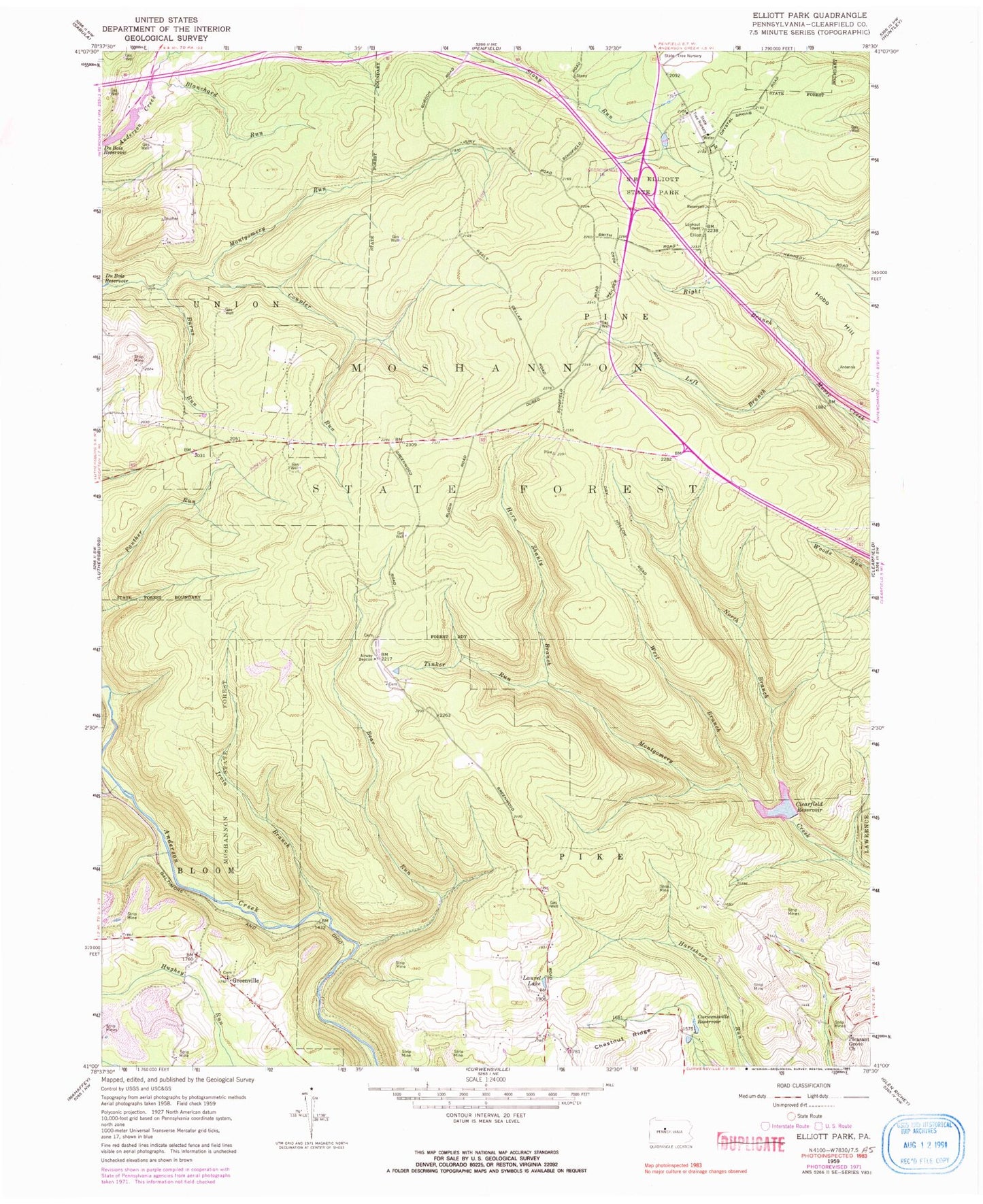
Historical USGS topographic quad map of Elliott Park in the state of Pennsylvania. Typical map scale is 1:24,000, but may vary for certain years, if available. Print size: 24" x 27"
This quadrangle is in the following counties: Clearfield.
The map contains contour lines, roads, rivers, towns, and lakes. Printed on high-quality waterproof paper with UV fade-resistant inks, and shipped rolled.
Contains the following named places: Bear Run, Blanchard Run, Burns Run, Coupler Run, Greenville, Horn Shanty Branch, Irvin Branch, Laurel Lake, Left Branch Moose Creek, Montgomery Run, North Branch Montgomery Creek, Pleasant Grove Church, Right Branch Moose Creek, Tinker Run, West Branch Montgomery Creek, Chestnut Ridge, Clearfield Reservoir, Curwensville Reservoir, Hobo Hill, S B Elliott State Park, Bear Run Dam, Bear Run Reservoir, Montgomery Dam, Bailey Field, Glendale (historical), Bloom Run Vista, Rockton Fire Tower, Greenville School, Chestnut Ridge School, Smith Fire Tower, Hoover Farm, Weilder Camp, Gordon Camp, Stone Palace Camp, Clearfield State Tree Nursery, Township of Pine, Old Orchard Airport, Tar Run, Greenville Cemetery


