MyTopo
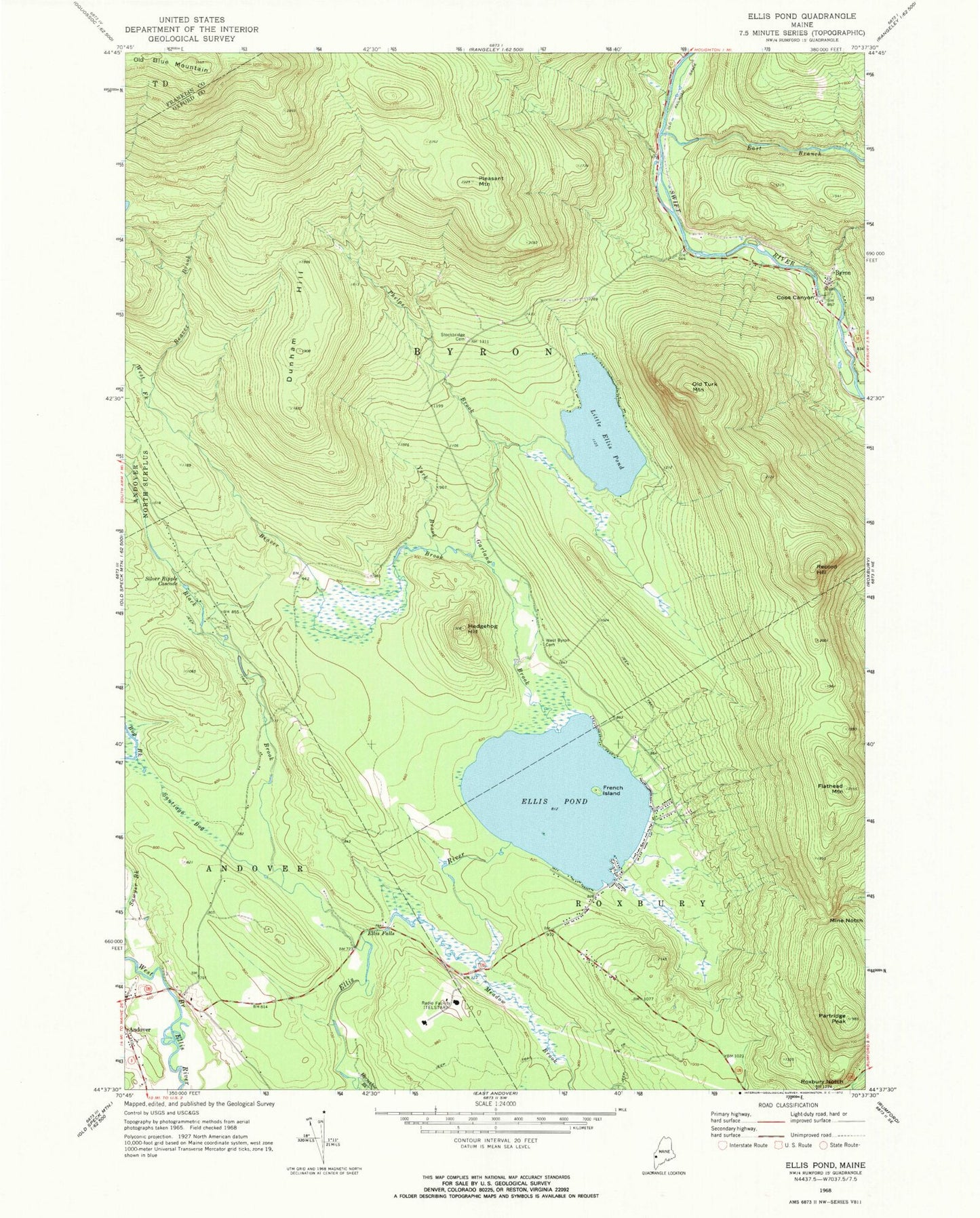
Classic USGS Ellis Pond Maine 7.5'x7.5' Topo Map
Couldn't load pickup availability
Historical USGS topographic quad map of Ellis Pond in the state of Maine. Typical map scale is 1:24,000, but may vary for certain years, if available. Print size: 24" x 27"
This quadrangle is in the following counties: Franklin, Oxford.
The map contains contour lines, roads, rivers, towns, and lakes. Printed on high-quality waterproof paper with UV fade-resistant inks, and shipped rolled.
Contains the following named places: Beaver Brook, Black Brook, Bog Brook, Byron, Dunham Hill, East Branch Swift River, Ellis Falls, Ellis Pond, Flathead Mountain, French Island, Garland Brook, Hedgehog Hill, Horseshoe Brook, Little Ellis Pond, Meadow Brook, Mine Notch, Old Turk Mountain, Partridge Peak, Phelps Brook, Pleasant Mountain, Record Hill, Roxbury Notch, Santiago Bog, Sawyer Brook, Silver Ripple Cascade, Stockbridge Cemetery, Pressey Cemetery, West Fork Beaver Brook, York Brook, Coos Canyon, Town of Byron, Andover Post Office, First Congregational Church, Byron Volunteer Fire Station, Byron Village Cemetery