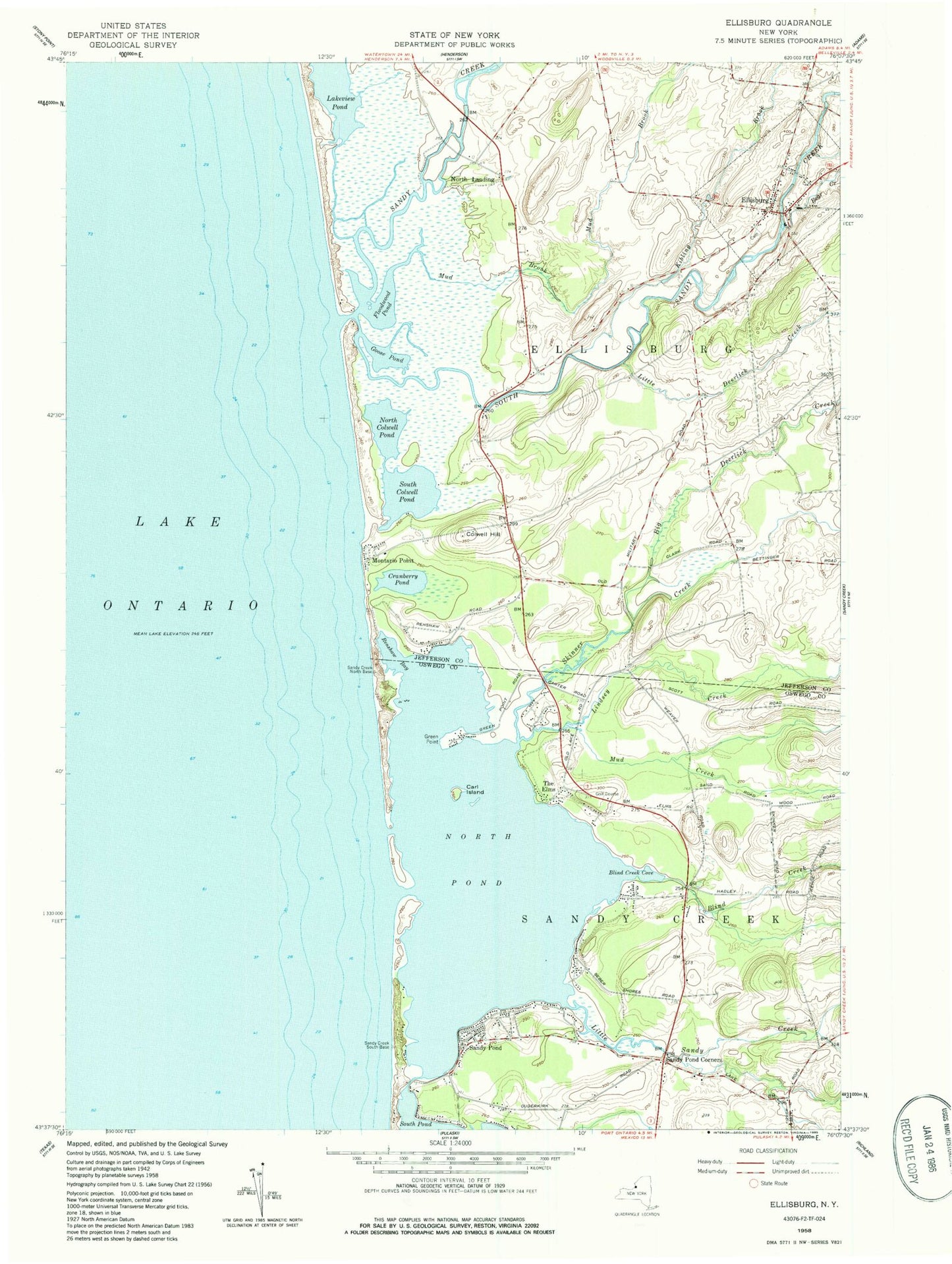
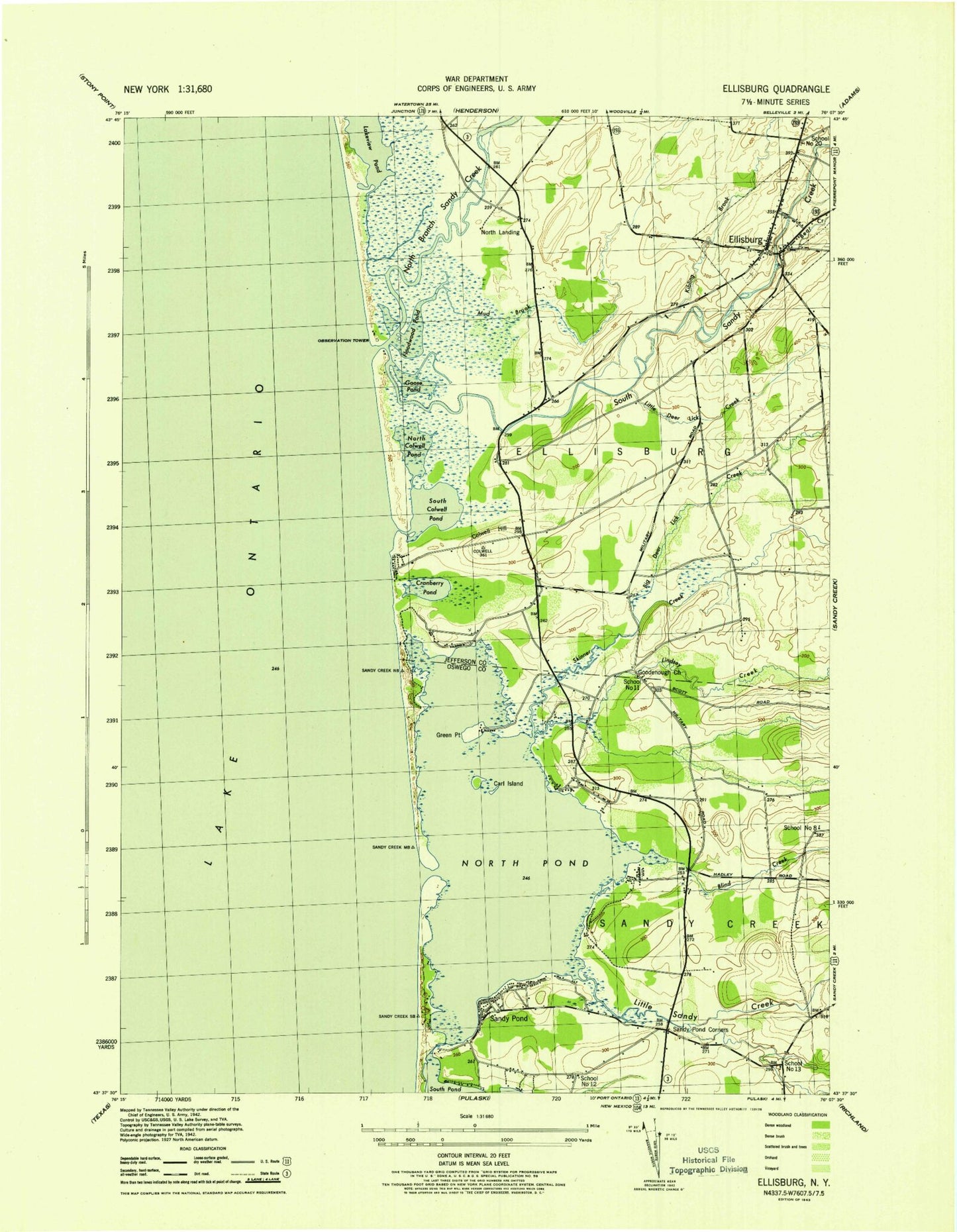
MyTopo
Classic USGS Ellisburg New York 7.5'x7.5' Topo Map
Couldn't load pickup availability
Historical USGS topographic quad map of Ellisburg in the state of New York. Map scale may vary for some years, but is generally around 1:24,000. Print size is approximately 24" x 27"
This quadrangle is in the following counties: Jefferson, Oswego.
The map contains contour lines, roads, rivers, towns, and lakes. Printed on high-quality waterproof paper with UV fade-resistant inks, and shipped rolled.
Contains the following named places: Bartlett Marina, Bear Creek, Big Deerlick Creek, Blind Creek, Blind Creek Cove, Brennan's Bay Campground, Brennan's Bay Marina, Carl Island, Colwell Hill, Cranberry Pond, Doubledale Farm, Eastman Farms, Ellisburg, Ellisburg Free Library, Ellisburg Post Office, Ellisburg Volunteer Fire Department, Elms Golf Club, Floodwood Pond, Freemans Marina, Goodenough Church, Goose Pond, Greene Point, Greene Point Marina, Kibling Brook, Lakeview Pond, Lindsey Creek, Little Deerlick Creek, Little Sandy Creek, Montario Point, Mud Brook, Mud Creek, North Colwell Pond, North Landing, North Pond, Reiters Marina, Renshaw Bay, Sandy Creek, Sandy Pond, Sandy Pond Corners, School Number 11, School Number 12, School Number 13, School Number 20, School Number 8, Seber Shore Marina, Skinner Creek, South Colwell Pond, South Sandy Creek, South Sandy Creek Bridge, The Elms, Village of Ellisburg