MyTopo
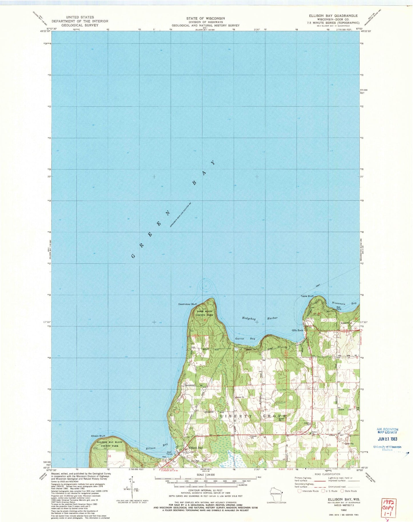
Classic USGS Ellison Bay Wisconsin 7.5'x7.5' Topo Map
Couldn't load pickup availability
Historical USGS topographic quad map of Ellison Bay in the state of Wisconsin. Map scale may vary for some years, but is generally around 1:24,000. Print size is approximately 24" x 27"
This quadrangle is in the following counties: Door.
The map contains contour lines, roads, rivers, towns, and lakes. Printed on high-quality waterproof paper with UV fade-resistant inks, and shipped rolled.
Contains the following named places: Bethel Church, Cedar Grove Resort, Deathdoor Bluff, Door Bluff County Park, Ellison Bay, Ellison Bay Bluff County Park, Ellison Bay Census Designated Place, Ellison Bay Post Office, Ellison Bluff, Ellison Bluff State Natural Area, Garret Bay, Gills Rock, Hedgehog Harbor, Sister Bay - Liberty Grove Fire Department North Station, Table Bluff, Trinity Lutheran Cemetery, Wisconsin Bay