MyTopo
Classic USGS Elm Bluff Alabama 7.5'x7.5' Topo Map
Couldn't load pickup availability
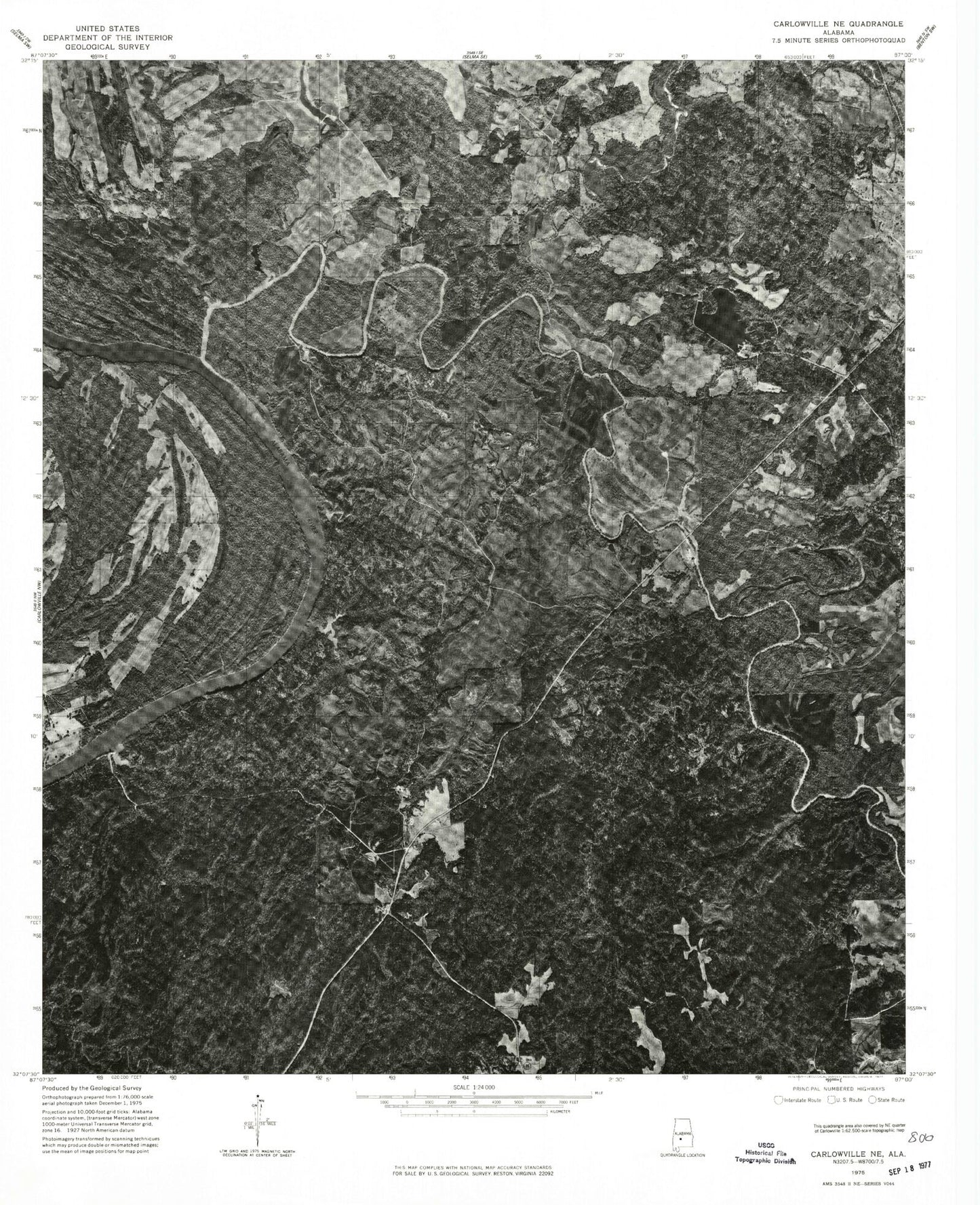
Historical USGS topographic quad map of Elm Bluff in the state of Alabama. Map scale may vary for some years, but is generally around 1:24,000. Print size is approximately 24" x 27"
This quadrangle is in the following counties: Dallas.
The map contains contour lines, roads, rivers, towns, and lakes. Printed on high-quality waterproof paper with UV fade-resistant inks, and shipped rolled.
Contains the following named places: Belknap, Berlin Branch, Big Swamp Creek, Campbell Chapel, Carlowville Division, Cedar Creek, Center Ridge Cemetery, Dallas County Lake, Dallas County Public Lake, Dallas County Public Lake Dam, Davis Landing, Elam Bluff Post Office, Elm Bluff, Elm Bluff Lookout Tower, Elm Bluff Public Use Area, Kaxa, Little Rock Church, Lower Sister Bar, Milton Bluff, Molette Bend, Mount Leveton Cemetery, Mount Leveton Church, Mount Leveton School, Mush Creek, New Bethany Church, New Bethel Church, Providence Bar, Providence Landing, Saffold Landing, Saint Stephens Church, Saint Stephens School, Salem Church, Titi Swamp, Upper Sister Bar, Watoolahakahatchee Scout Camp