MyTopo
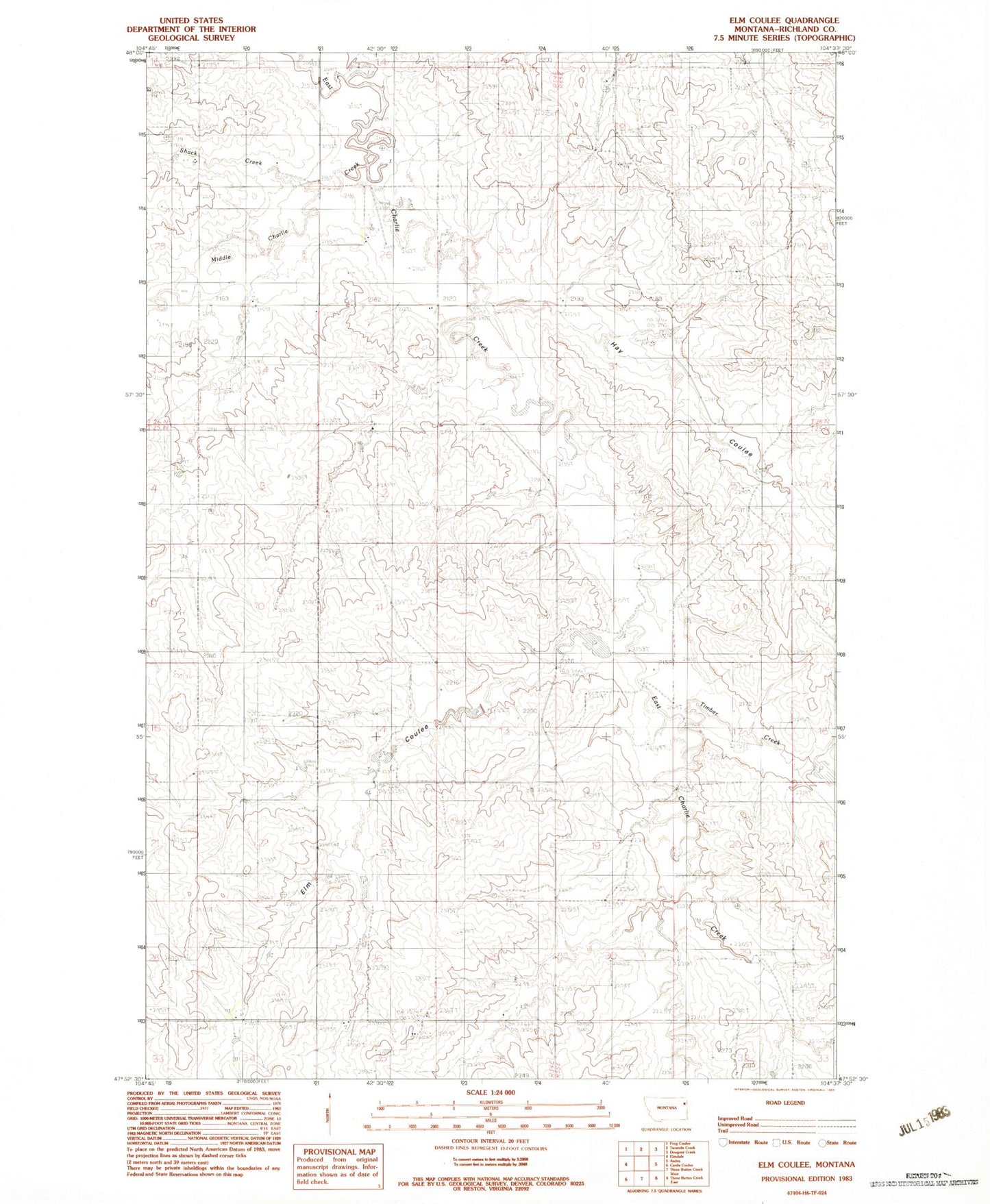
Classic USGS Elm Coulee Montana 7.5'x7.5' Topo Map
Couldn't load pickup availability
Historical USGS topographic quad map of Elm Coulee in the state of Montana. Map scale may vary for some years, but is generally around 1:24,000. Print size is approximately 24" x 27"
This quadrangle is in the following counties: Richland.
The map contains contour lines, roads, rivers, towns, and lakes. Printed on high-quality waterproof paper with UV fade-resistant inks, and shipped rolled.
Contains the following named places: 25N54E12AABC01 Well, 25N54E22AACD01 Well, 26N54E21AAAA01 Well, 26N55E19B___01 Well, 26N55E29DAAA01 Well, Bidegary Dam, Elm Coulee, Elm Dam, Hay Coulee, Middle Charlie Creek, Mona, Mona Cemetery, Mona Church of Christ, Mona Post Office, Peer Number 1 Dam, Shack Creek, Spring Lake Post Office, Steppler Field, Timber Creek