MyTopo
Classic USGS Elm Creek Ranch South Dakota 7.5'x7.5' Topo Map
Couldn't load pickup availability
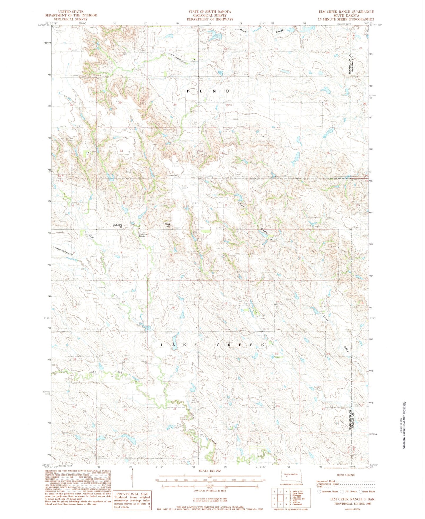
Historical USGS topographic quad map of Elm Creek Ranch in the state of South Dakota. Map scale may vary for some years, but is generally around 1:24,000. Print size is approximately 24" x 27"
This quadrangle is in the following counties: Haakon, Pennington.
The map contains contour lines, roads, rivers, towns, and lakes. Printed on high-quality waterproof paper with UV fade-resistant inks, and shipped rolled.
Contains the following named places: Bliss Hill, Clark Landing Strip, Elm Creek, Elm Creek Ranch, George Kjerstad Dam, Hoffman Landing Strip, Hubbard Hill, Joe Papousek Dam, Konrad Kjerstad Dam, Leonard Kjerstad Number 2 Dam, Leonard Kjerstad Number 3 Dam, Sieler Dam, Theodore Kjerstad Dam, Tony Krebs Dam, Township of Lake Creek, Township of Peno, Unorganized Territory of Lake Creek, ZIP Code: 57775