MyTopo
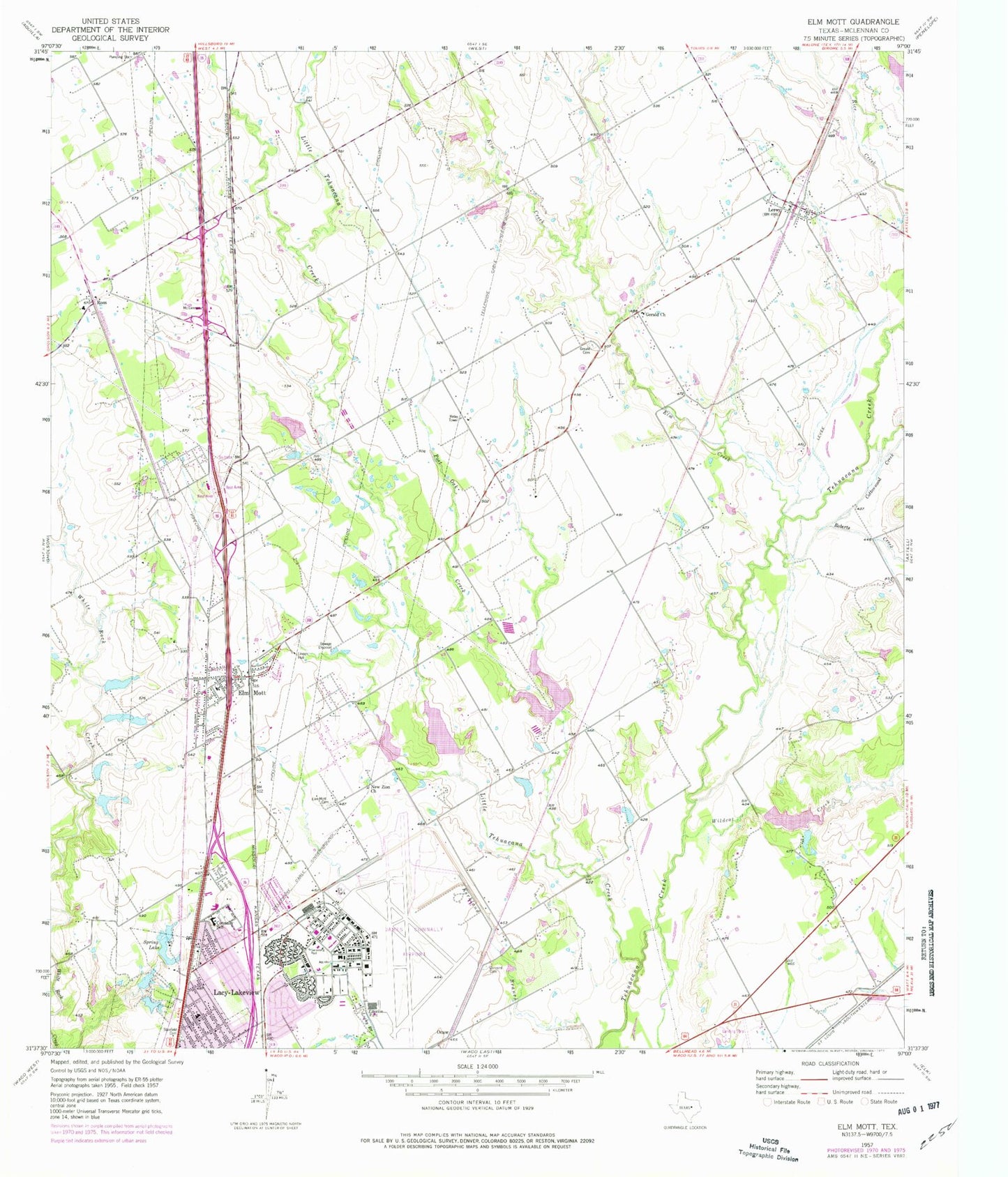
Classic USGS Elm Mott Texas 7.5'x7.5' Topo Map
Couldn't load pickup availability
Historical USGS topographic quad map of Elm Mott in the state of Texas. Map scale may vary for some years, but is generally around 1:24,000. Print size is approximately 24" x 27"
This quadrangle is in the following counties: McLennan.
The map contains contour lines, roads, rivers, towns, and lakes. Printed on high-quality waterproof paper with UV fade-resistant inks, and shipped rolled.
Contains the following named places: City of Lacy-Lakeview, City of Leroy, City of Ross, Concord Cemetery, Connally Elementary School, Connally High School, Connally Intermediate and Middle School, Connally School, Cottonwood Creek, DPS Heliport, Echols Memorial Church of God in Christ, Elm Creek, Elm Mott, Elm Mott Cemetery, Elm Mott Division, Elm Mott Learning Center, Elm Mott Post Office, Elm Mott Volunteer Fire Department, Gerald Cemetery, Gerald Church, James Connally Air Force Base, L - 3 Integrated Systems Fire Department / First Responders, Lacy Lakeview Fire Department Substation, Lacy-Lakeview, Lakeview Academy, Lakeview United Methodist Church, Leroy, Leroy Post Office, Linden Hall, Little Tehuacana Creek, New Zion Church, Northcrest, Opportunity Learning Center - Lorena, Post Oak Creek, Rice Creek, Roberts Creek, Ross, Ross Post Office, Ross Volunteer Fire Department, Soil Conservation Service Site 14 Dam, Soil Conservation Service Site 14 Reservoir, Soil Conservation Service Site 15 Dam, Soil Conservation Service Site 15 Reservoir, Soil Conservation Service Site 16 Dam, Soil Conservation Service Site 16 Reservoir, Soil Conservation Service Site 17 Dam, Soil Conservation Service Site 17 Reservoir, Soil Conservation Service Site 18 Dam, Soil Conservation Service Site 18 Reservoir, Spring Lake, Stanfield Cemetery, Texas Highway Patrol Office - Waco, Texas State Technical College Waco Police Department, TSTC Waco Airport, Waco Army Air Field, Wildcat Creek, ZIP Codes: 76640, 76654


