MyTopo
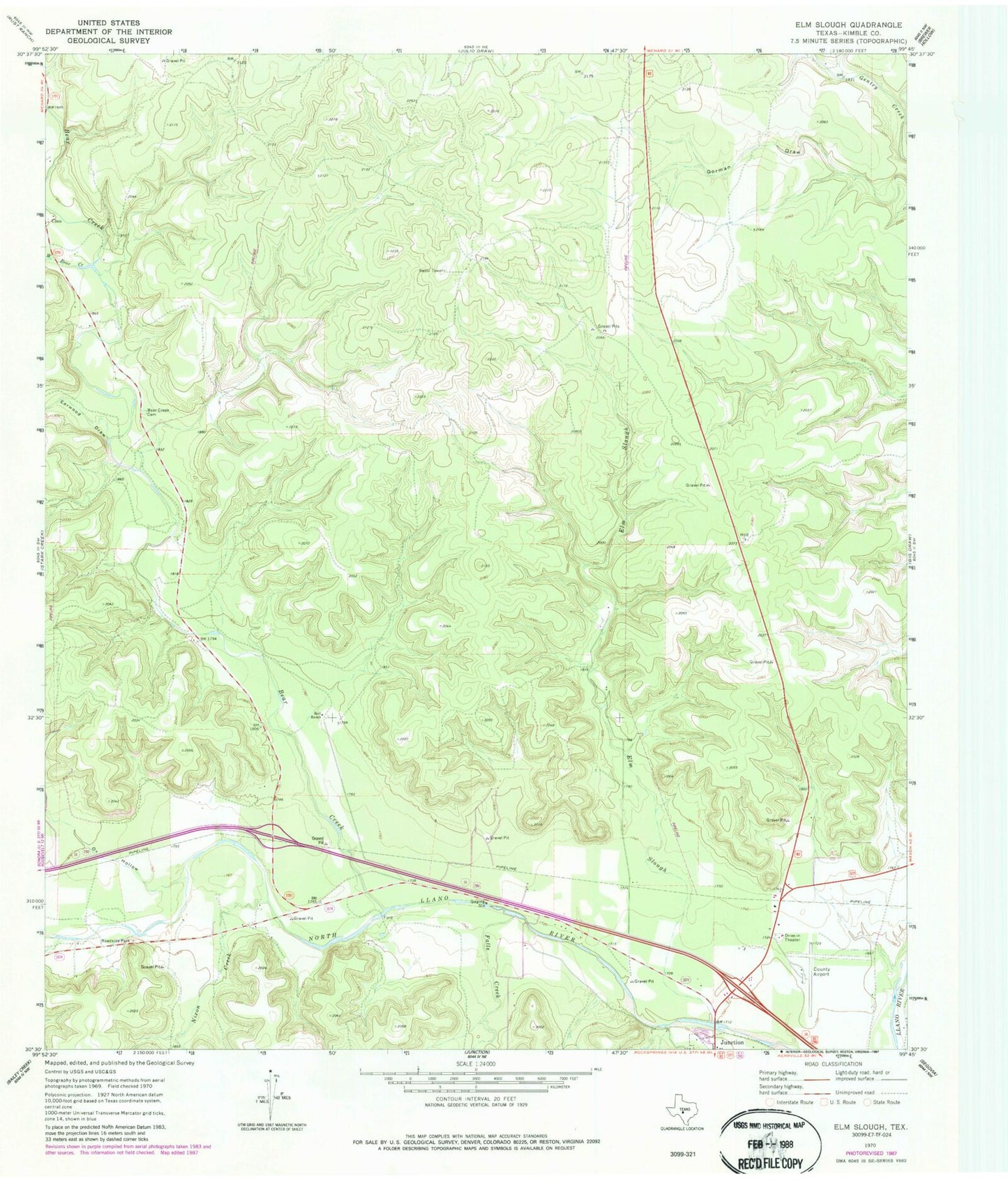
Classic USGS Elm Slough Texas 7.5'x7.5' Topo Map
Regular price
$16.95
Regular price
Sale price
$16.95
Unit price
per
Couldn't load pickup availability
Historical USGS topographic quad map of Elm Slough in the state of Texas. Map scale may vary for some years, but is generally around 1:24,000. Print size is approximately 24" x 27"
This quadrangle is in the following counties: Kimble.
The map contains contour lines, roads, rivers, towns, and lakes. Printed on high-quality waterproof paper with UV fade-resistant inks, and shipped rolled.
Contains the following named places: Bear Creek, Bear Creek Cemetery, Bolt Ranch, Brambletye House, Earwood Draw, Elm Slough, Falls Creek, Kimble County Airport, Nixon Creek, Ox Hollow, West Bear Creek