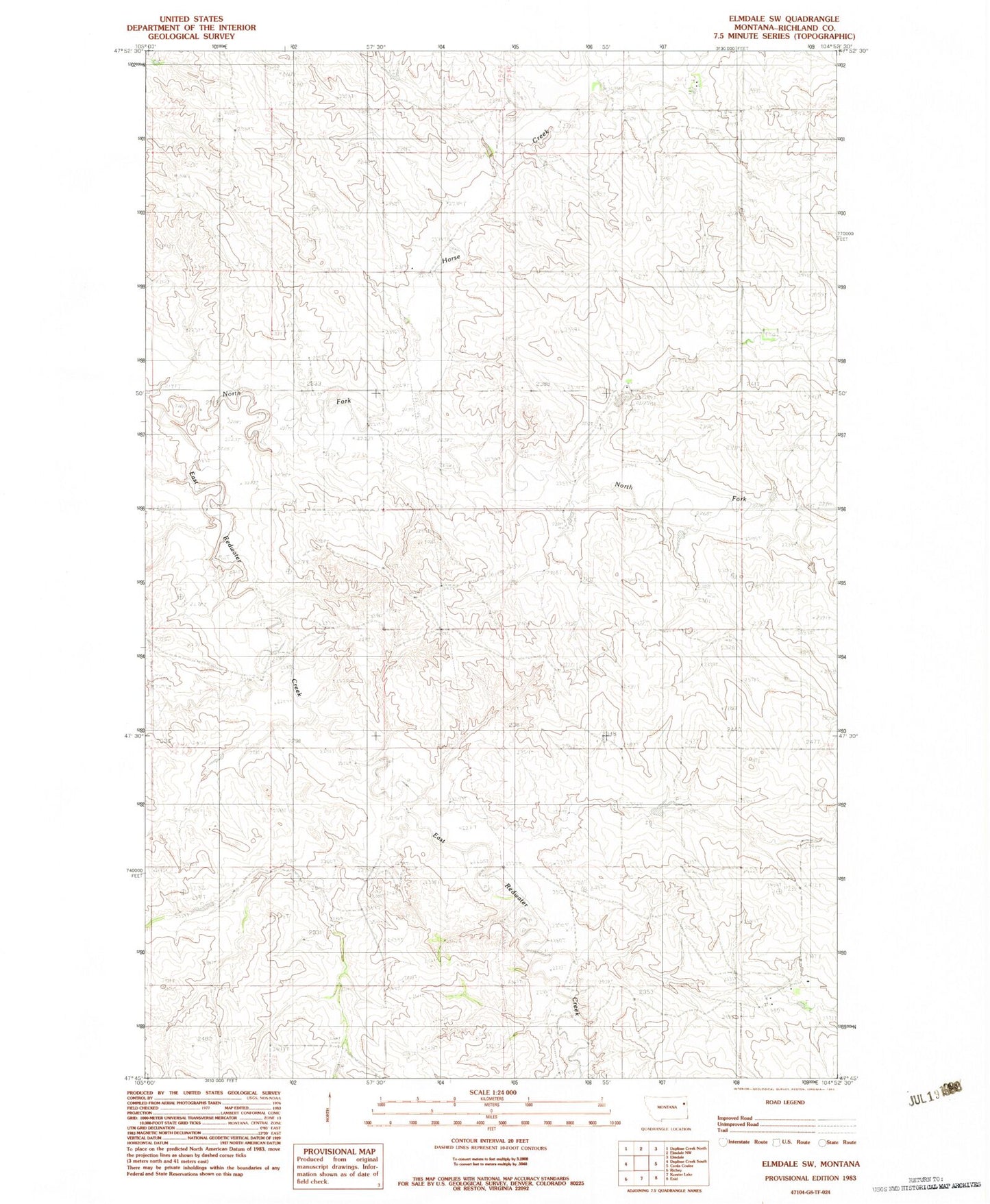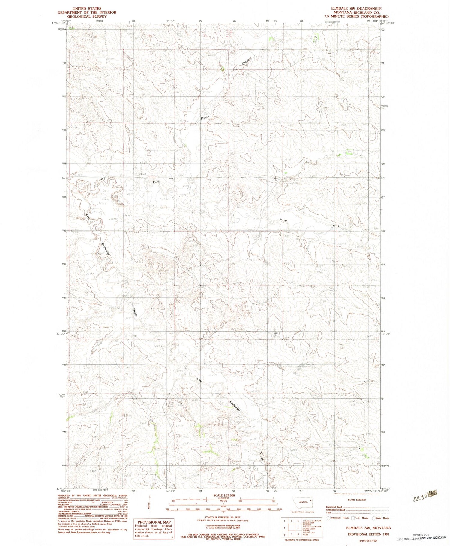
MyTopo
Classic USGS Elmdale SW Montana 7.5'x7.5' Topo Map
Couldn't load pickup availability
Historical USGS topographic quad map of Elmdale SW in the state of Montana. Map scale may vary for some years, but is generally around 1:24,000. Print size is approximately 24" x 27"
This quadrangle is in the following counties: Richland.
The map contains contour lines, roads, rivers, towns, and lakes. Printed on high-quality waterproof paper with UV fade-resistant inks, and shipped rolled.
Contains the following named places: 23N53E10DDDB01 Well, 23N53E14BAAB01 Well, 23N53E14BABD01 Well, 23N53E14BADA01 Well, 23N53E14BADD01 Well, 23N53E14BBAD01 Well, 23N53E14BBDA01 Well, 23N53E18ACCD01 Well, 24N53E09ABBB01 Well, 24N53E14CBAA01 Well, 24N53E14CBAA02 Well, 24N53E14DBBA01 Well, 24N53E15CCCD01 Well, 24N53E33BDAD01 Well, 24N53E34AAAB01 Well, 25N53E32DBBD01 Well, 25N53E32DBCD01 Well, 25N53E32DBCD02 Well, 25N53E33CABA01 Well, Horse Creek, North Fork East Redwater Creek