MyTopo
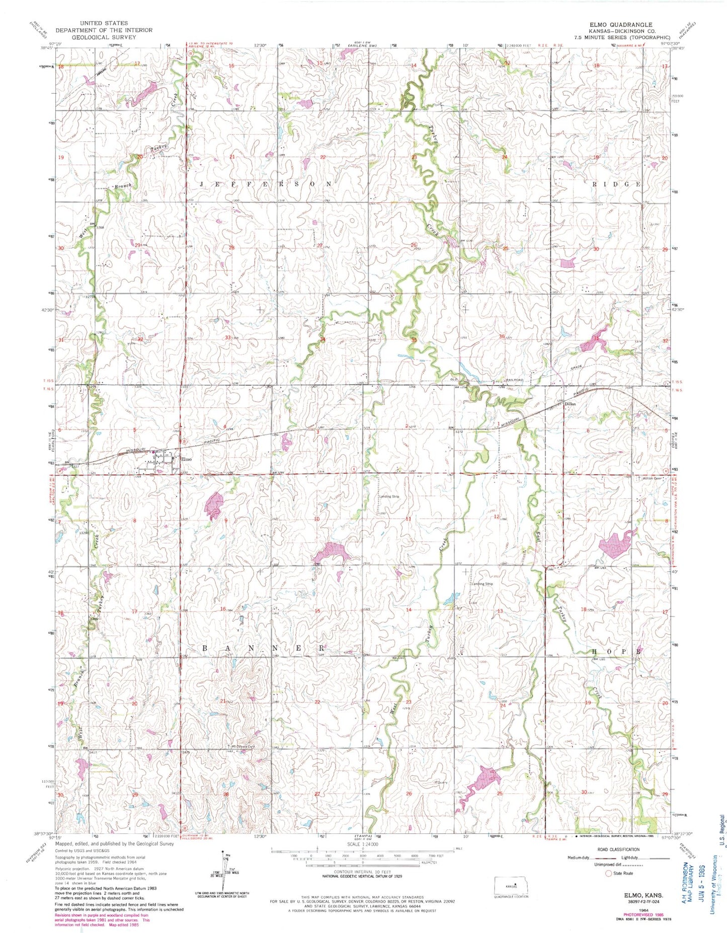
Classic USGS Elmo Kansas 7.5'x7.5' Topo Map
Couldn't load pickup availability
Historical USGS topographic quad map of Elmo in the state of Kansas. Map scale may vary for some years, but is generally around 1:24,000. Print size is approximately 24" x 27"
This quadrangle is in the following counties: Dickinson.
The map contains contour lines, roads, rivers, towns, and lakes. Printed on high-quality waterproof paper with UV fade-resistant inks, and shipped rolled.
Contains the following named places: Ashton Cemetery, Banner Cemetery, Barnard Airport, Dillon, East Turkey Creek, Elmo, First Baptist Cemetery, Henry, Mount Calvary Cemetery, Newbern, North Central Kansas Co - Operative Association Grain Elevator Number 2, Rhodes, Saint Columba Catholic Church, Township of Banner, Township of Jefferson, West Turkey Creek