MyTopo
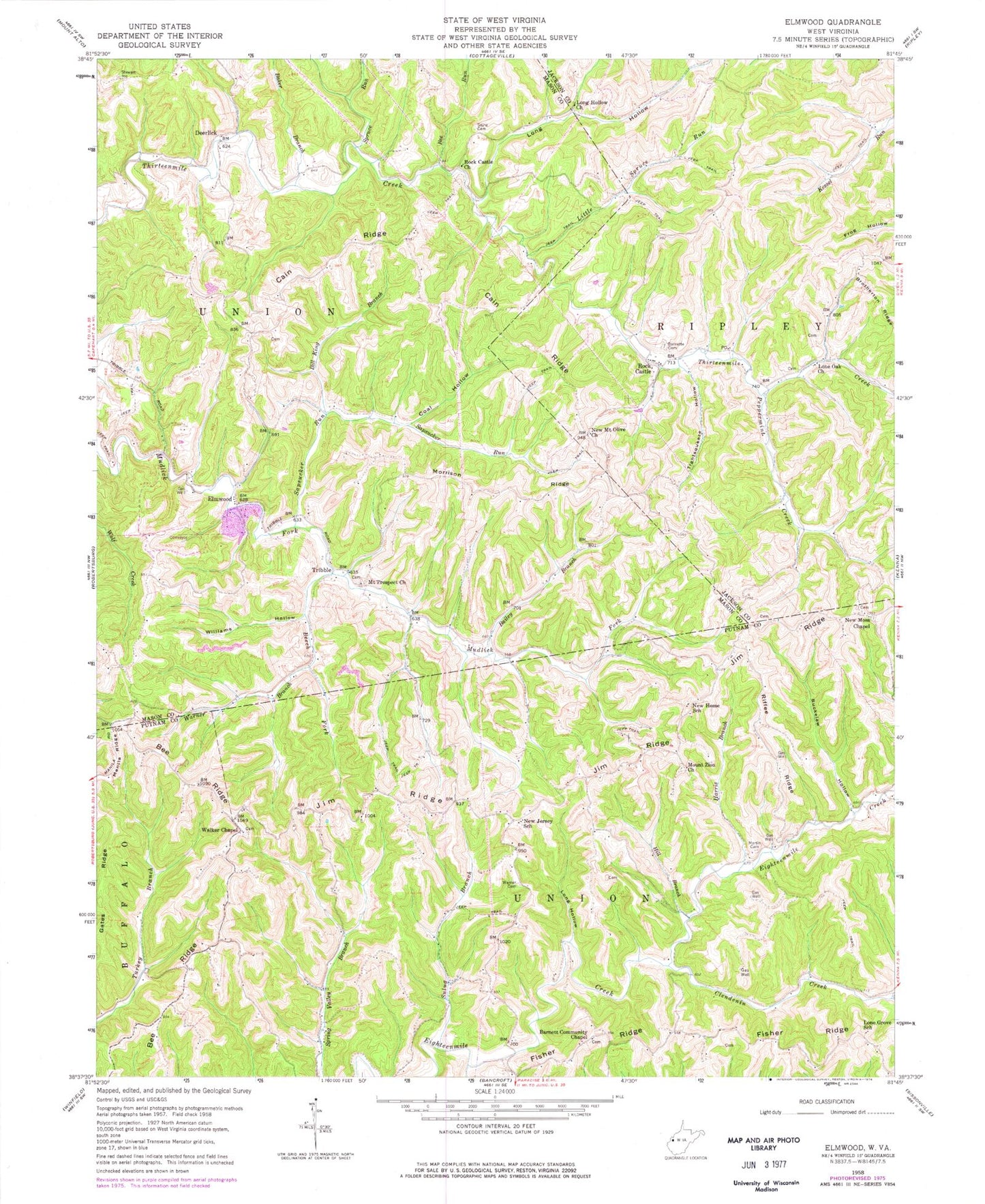
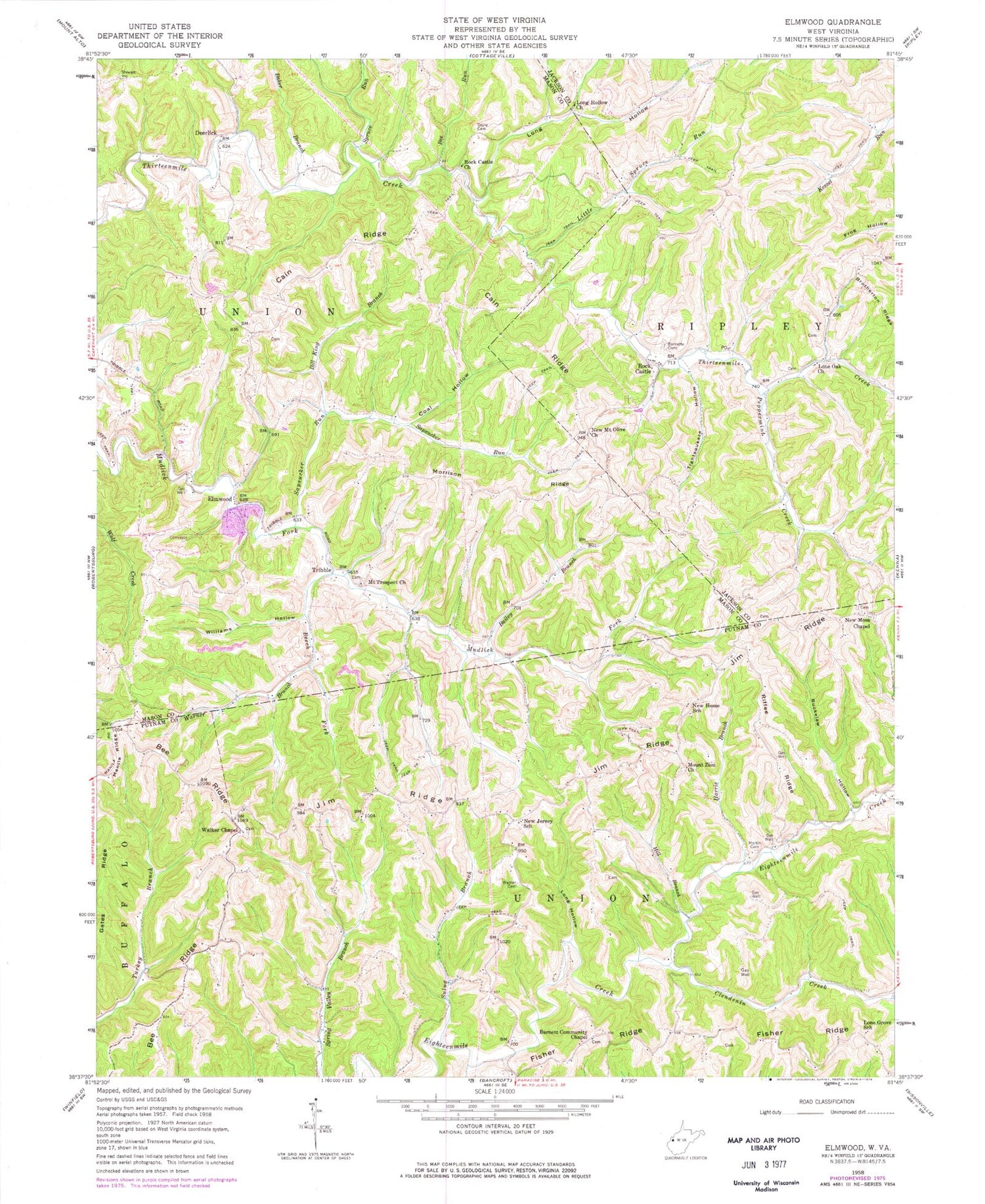
Classic USGS Elmwood West Virginia 7.5'x7.5' Topo Map
Couldn't load pickup availability
Historical USGS topographic quad map of Elmwood in the state of West Virginia. Map scale may vary for some years, but is generally around 1:24,000. Print size is approximately 24" x 27"
This quadrangle is in the following counties: Jackson, Mason, Putnam.
The map contains contour lines, roads, rivers, towns, and lakes. Printed on high-quality waterproof paper with UV fade-resistant inks, and shipped rolled.
Contains the following named places: Arthur Barnett Spring, Bailey Branch, Baker Branch, Barnett Community Chapel, Barnette Cemetery, Barnette Chapel Cemetery, Bee Ridge, Bee Run, Beech Fork, Bill King Branch, Buckelew Hollow, Cain Ridge, Cherry Fork, Clendenin Creek, Coal Hollow, Cobb Spring, Deerlick, Early Castro Spring, Elmwood, Fisher Ridge, Harris Branch, Hill Branch, Jim Ridge, Kenneth Asbury Spring, Left Fork Clendenin Creek, Little Spruce Run, Lone Grove School, Lone Oak Church, Long Hollow, Long Hollow Baptist Church Cemetery, Long Hollow Church, Martin Cemetery, Morrison Ridge, Moss Chapel Cemetery, Mount Olive Cemetery, Mount Prospect Cemetery, Mount Prospect Church, Mount Zion Cemetery, Mount Zion Church, New Home School, New Jersey School, New Moss Chapel, New Mount Olive Church, Pennington Spring, Peppermint Creek, Riffee Ridge, Right Fork Clendenin Creek, Rock Castle, Rock Castle Church, Sapsucker Run, Sayre Cemetery, Spruce Run, Sulug Branch, Tightsqueeze Hollow, Tribble, Union District, Walker Chapel, Walker Chapel Cemetery, Warner Branch, Warner Cemetery, Williams Hollow, ZIP Code: 25245


