MyTopo
Classic USGS Eloy South Arizona 7.5'x7.5' Topo Map
Couldn't load pickup availability
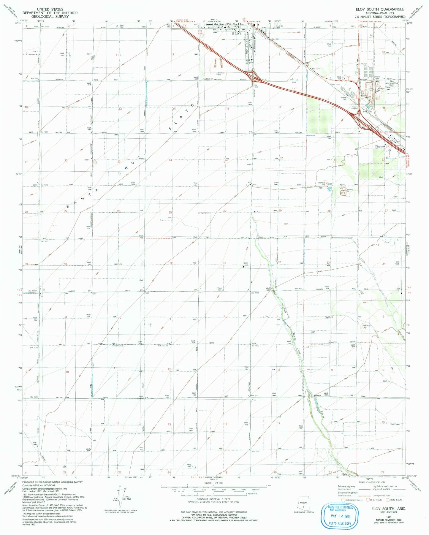
Historical USGS topographic quad map of Eloy South in the state of Arizona. Map scale may vary for some years, but is generally around 1:24,000. Print size is approximately 24" x 27"
This quadrangle is in the following counties: Pinal.
The map contains contour lines, roads, rivers, towns, and lakes. Printed on high-quality waterproof paper with UV fade-resistant inks, and shipped rolled.
Contains the following named places: Central Main Canal, City of Eloy, Curiel Elementary School Annex, Curiel School Mini Park Site, Eds Field, Eloy Business Park, Eloy Division, Eloy Farms Airstrip, Eloy Fire District Station 521, Eloy Memorial Park, KKAF-FM (Eloy), KONZ-FM (Arizona City), Picacho Overpass, Santa Cruz Flats, Santa Cruz River, Westside Church of God in Christ, ZIP Code: 85131