MyTopo
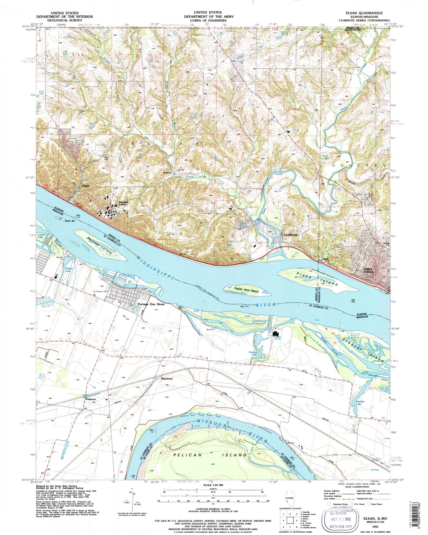
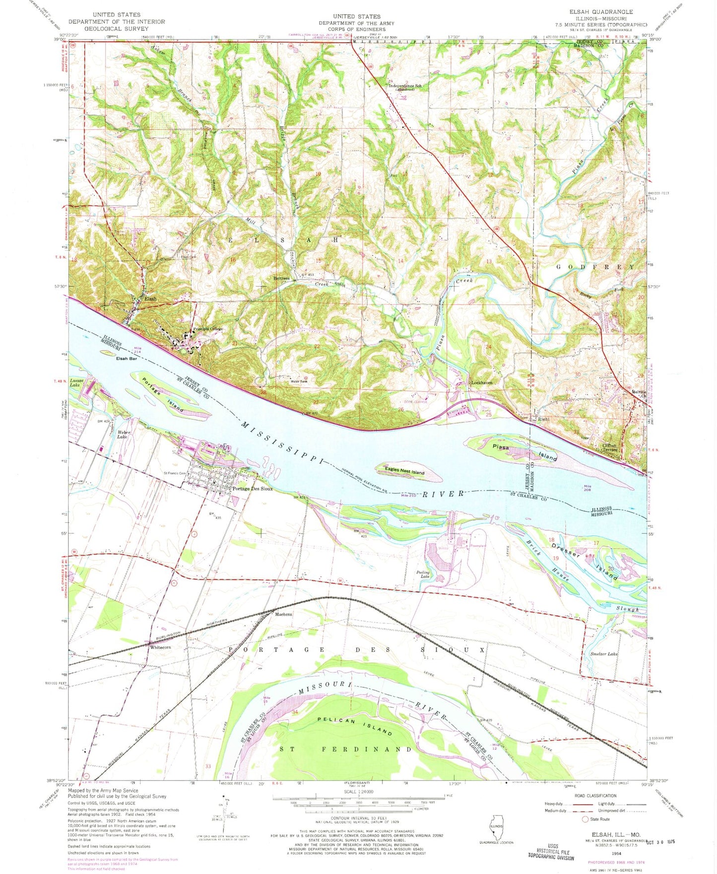
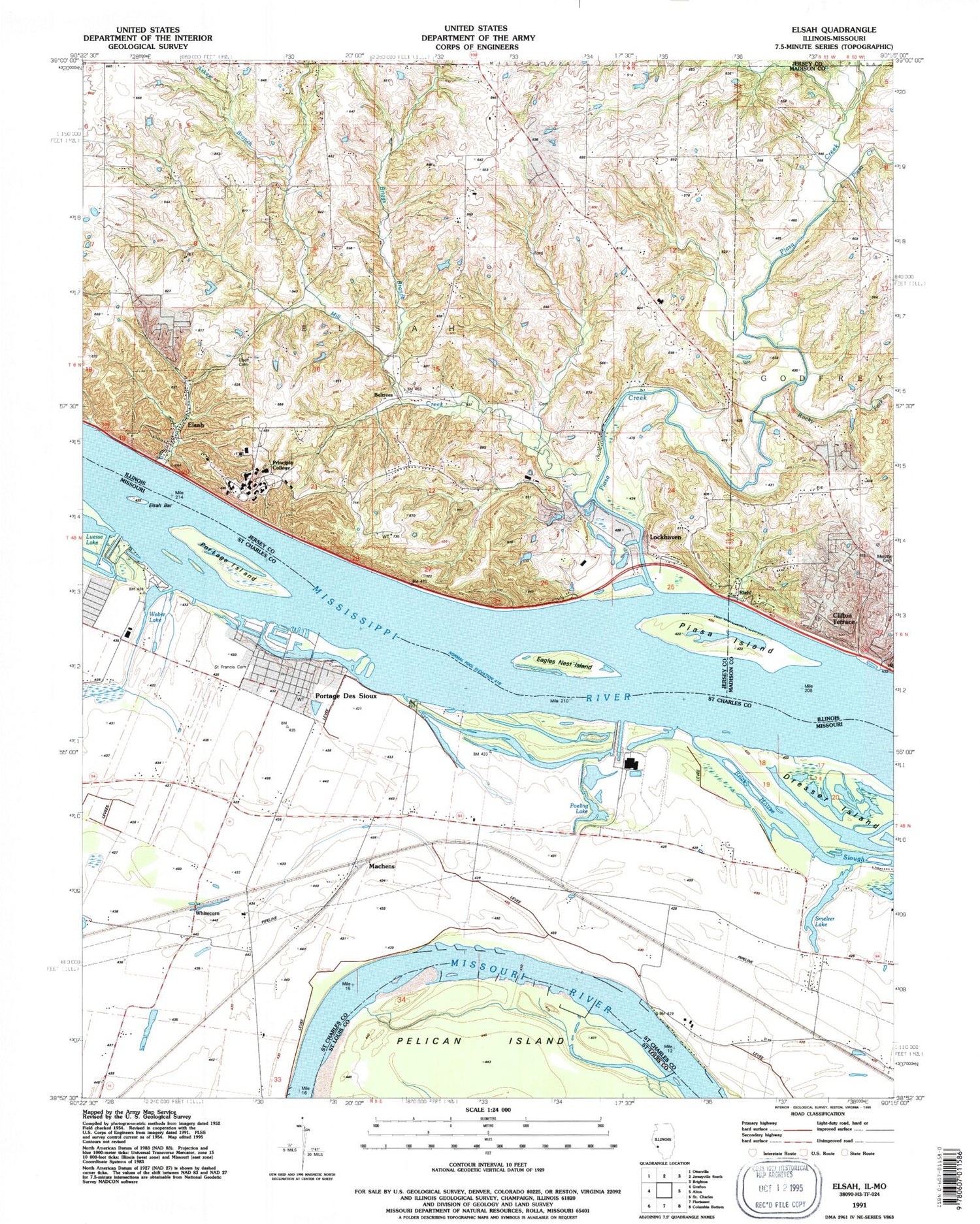
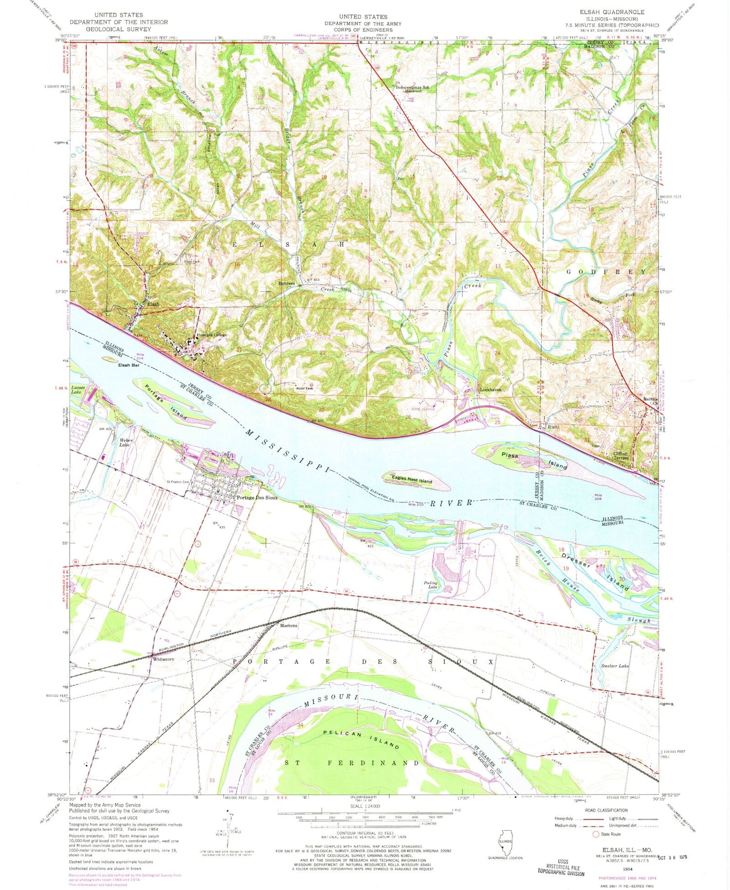
Classic USGS Elsah Illinois 7.5'x7.5' Topo Map
Couldn't load pickup availability
Historical USGS topographic quad map of Elsah in the states of Illinois, Missouri. Map scale may vary for some years, but is generally around 1:24,000. Print size is approximately 24" x 27"
This quadrangle is in the following counties: Jersey, Madison, St. Charles, St. Louis.
The map contains contour lines, roads, rivers, towns, and lakes. Printed on high-quality waterproof paper with UV fade-resistant inks, and shipped rolled.
Contains the following named places: Askew Branch, Beltrees, Briggs Branch, City of Portage Des Sioux, Clifton Terrace, Common Fields of Portage des Sioux, Dresser Island, Eagles Nest Island, Elsah, Elsah Bar, Elsah Cemetery, Elsah Historic District, Elsah Post Office, Independence School, Little Piasa Creek, Lockhaven, Machens, Melville Church, Mertz School, Mill Creek, Pelican Island, Piasa Creek, Piasa Creek Access Area, Piasa Hills, Piasa Island, Poeling Lake, Portage Des Sioux, Portage Des Sioux Post Office, Portage Island, Principia College, Quarry Elsah Mississippi Fire Protection District, Randolph School, Riehl, River View School, Rivers Pointe Fire and Rescue Station 2, Rocky Fork, Saint Francis Cemetery, Saint Michael Church, Saint Michaels Cemetery, Smelzer Lake, Smelzer Lake School, Smith Lake, Smith Lake Dam, Township of Elsah, Village of Elsah, Weber Lake, Wendle Cemetery, White Oak School, Whitecorn, Williams Point, WTPC-FM (Elsah), Wunsch School, ZIP Code: 62028


