MyTopo
Classic USGS Elva Kentucky 7.5'x7.5' Topo Map
Couldn't load pickup availability
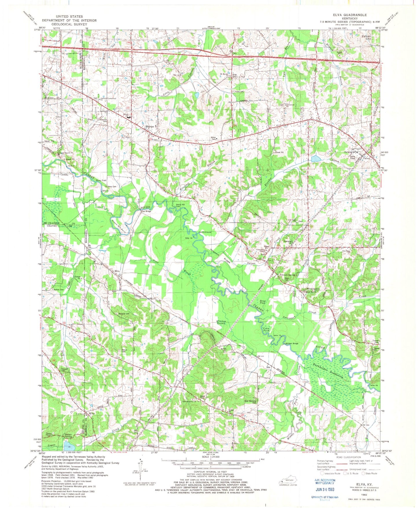
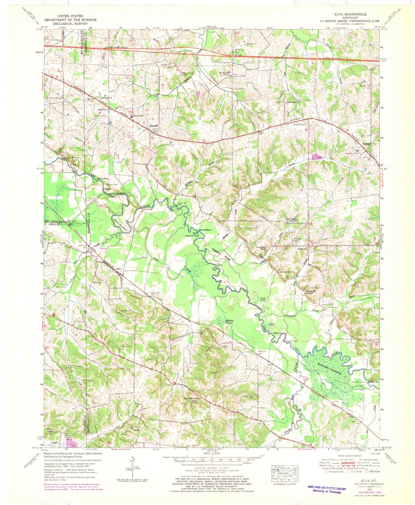
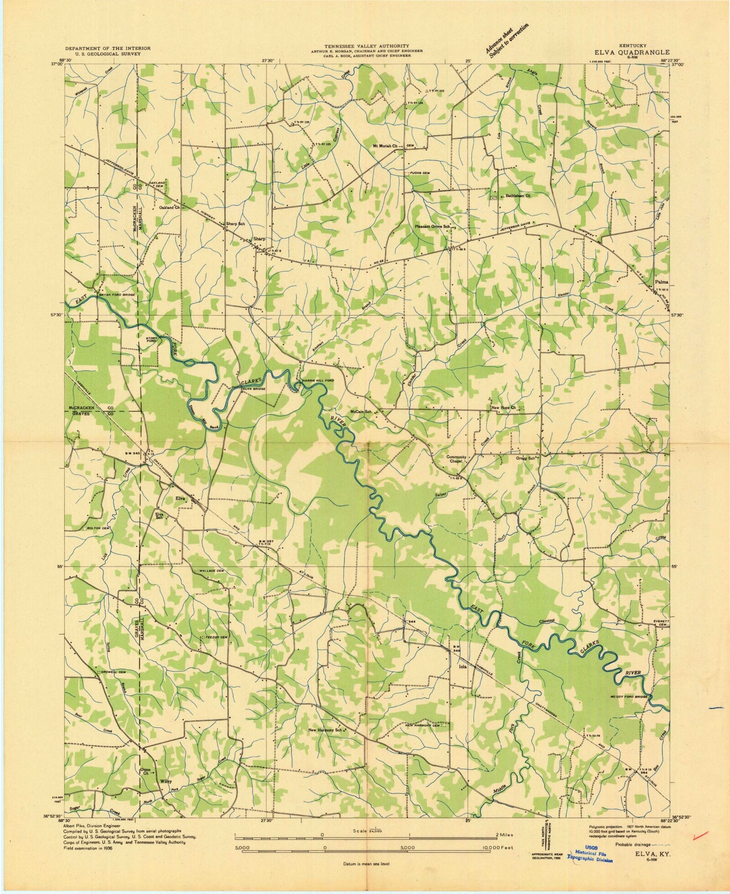
Historical USGS topographic quad map of Elva in the state of Kentucky. Typical map scale is 1:24,000, but may vary for certain years, if available. Print size: 24" x 27"
This quadrangle is in the following counties: Graves, Marshall, McCracken.
The map contains contour lines, roads, rivers, towns, and lakes. Printed on high-quality waterproof paper with UV fade-resistant inks, and shipped rolled.
Contains the following named places: Armstrong - Maple Hill Cemetery, Barker Cemetery, Benge Pond, Bethlehem Church, Bolton Cemetery, Bryan Ford Bridge, Burkholder Deadening, Chestnut Creek, Coon Pond, Crowell Cemetery, Devils Elbow, Ewing - Dishman Cemetery, Oakland Cemetery, Dooms Chapel, Dooms Spring, Dunn Slough, Elender Creek, Elva Bridge, Elva School, Everett Cemetery, Feezor Cemetery, Fooks Cemetery, Gregg School, Hogskin Ridge, Howard Branch, Johnson Spring, Lick Creek, Lyle Branch, Maple Hill Church, McCoy Ford Bridge, Middle Fork Creek, Milliken Bridge, Milliken Swamp, Mount Moriah Church, New Harmony Cemetery, New Harmony School, New Hope Church, Oakland Cumberland Presbyterian Church, Oakland Church, Palma, Persimmon Slough Creek, Riley Branch, Rinehart Branch, Salyer Creek, Sharpe, Sharpe School, Steam Mill Bend, Story Branch, Story Cemetery, Story Cemetery, Story Ford, Wallace Cemetery, Elva, Harris Hill Ford, Iola, WKYQ-FM (Paducah), New Harmony Baptist Church, Possum Trot - Sharpe Fire Department Station, Elva - New Harmony Oak Level Fire Station, Griggstown (historical), Harrison Creek, Bryans Ford, Jett (historical), Rudolph, Clarks River National Wildlife Refuge, Old New Harmony Cemetery, Dooms Chapel Cemetery, Salyer Cemetery, New Hope Cemetery, Bethlehem Cemetery, Sharpe Church of Christ Cemetery, Armstrong - Maple Hill Cemetery, Barker Cemetery, Benge Pond, Bethlehem Church, Bolton Cemetery, Bryan Ford Bridge, Burkholder Deadening, Chestnut Creek, Coon Pond, Crowell Cemetery, Devils Elbow, Ewing - Dishman Cemetery, Oakland Cemetery, Dooms Chapel, Dooms Spring, Dunn Slough, Elender Creek, Elva Bridge, Elva School, Everett Cemetery, Feezor Cemetery, Fooks Cemetery, Gregg School, Hogskin Ridge, Howard Branch, Johnson Spring, Lick Creek, Lyle Branch, Maple Hill Church, McCoy Ford Bridge, Middle Fork Creek, Milliken Bridge, Milliken Swamp, Mount Moriah Church, New Harmony Cemetery, New Harmony School, New Hope Church, Oakland Cumberland Presbyterian Church, Oakland Church, Palma, Persimmon Slough Creek, Riley Branch, Rinehart Branch, Salyer Creek, Sharpe, Sharpe School, Steam Mill Bend, Story Branch, Story Cemetery, Story Cemetery, Story Ford, Wallace Cemetery, Elva, Harris Hill Ford, Iola, WKYQ-FM (Paducah), New Harmony Baptist Church, Possum Trot - Sharpe Fire Department Station, Elva - New Harmony Oak Level Fire Station, Griggstown (historical), Harrison Creek, Bryans Ford, Jett (historical), Rudolph, Clarks River National Wildlife Refuge, Old New Harmony Cemetery, Dooms Chapel Cemetery, Salyer Cemetery, New Hope Cemetery, Bethlehem Cemetery, Sharpe Church of Christ Cemetery


