MyTopo
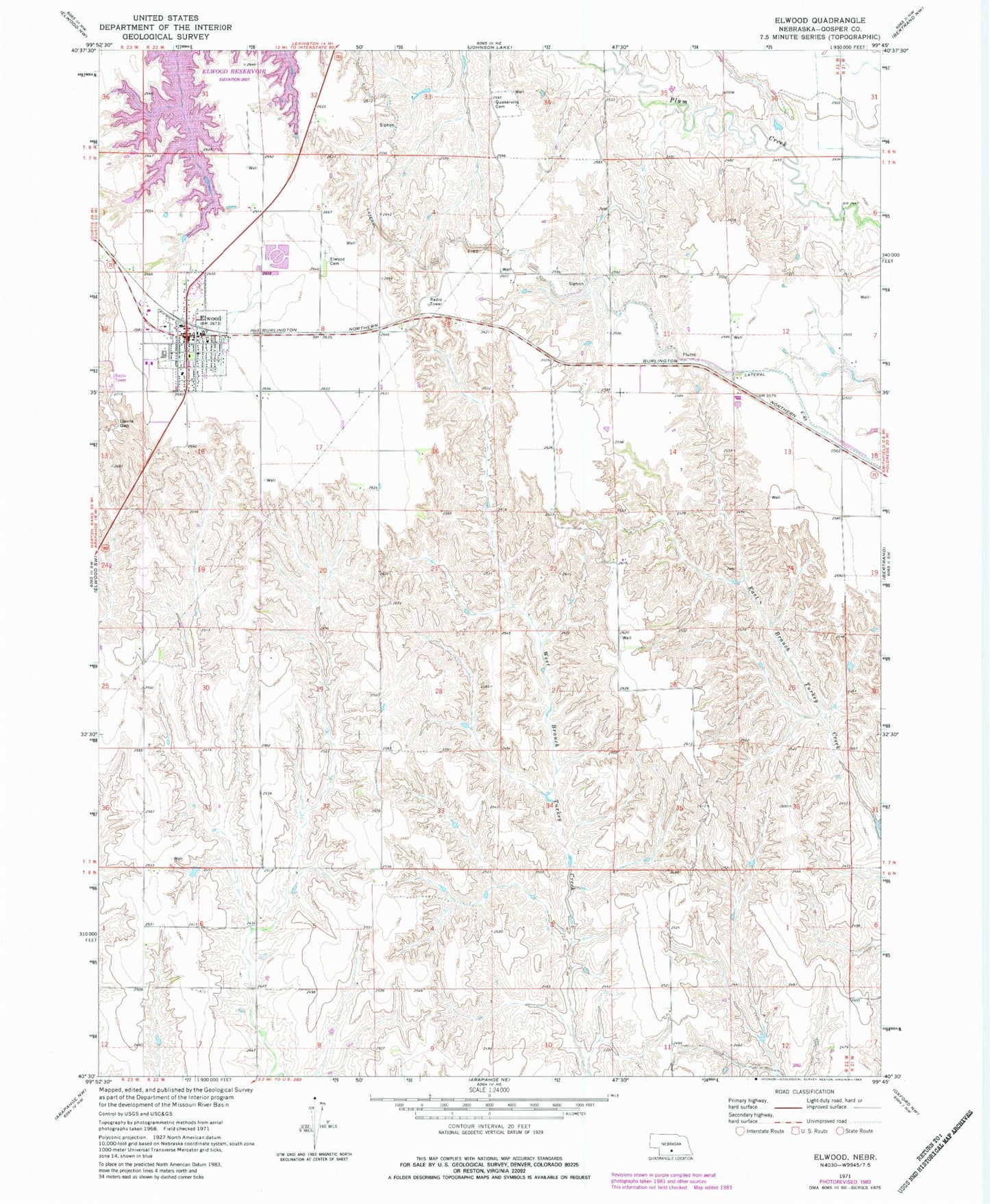
Classic USGS Elwood Nebraska 7.5'x7.5' Topo Map
Couldn't load pickup availability
Historical USGS topographic quad map of Elwood in the state of Nebraska. Map scale may vary for some years, but is generally around 1:24,000. Print size is approximately 24" x 27"
This quadrangle is in the following counties: Gosper.
The map contains contour lines, roads, rivers, towns, and lakes. Printed on high-quality waterproof paper with UV fade-resistant inks, and shipped rolled.
Contains the following named places: Bogle Dam, Bogle Reservoir, Christian Church, Devils Gap, Elwood, Elwood 7-22 Election Precinct, Elwood Care Center, Elwood Cemetery, Elwood Clinic, Elwood Post Office, Elwood Public Library, Elwood Public Schools, Elwood Rescue Unit, Elwood Volunteer Fire Department, Gosper County, Gosper County Courthouse, Gosper County Sheriff's Office, Lateral E-65, Meyer Dam, Meyer Reservoir, Our Redeemer Lutheran Church, Quakerville Cemetery, United Methodist Church, Village of Elwood, Whaley-Reynolds Dam Number 1, Whaley-Reynolds Reservoir Number 1