MyTopo
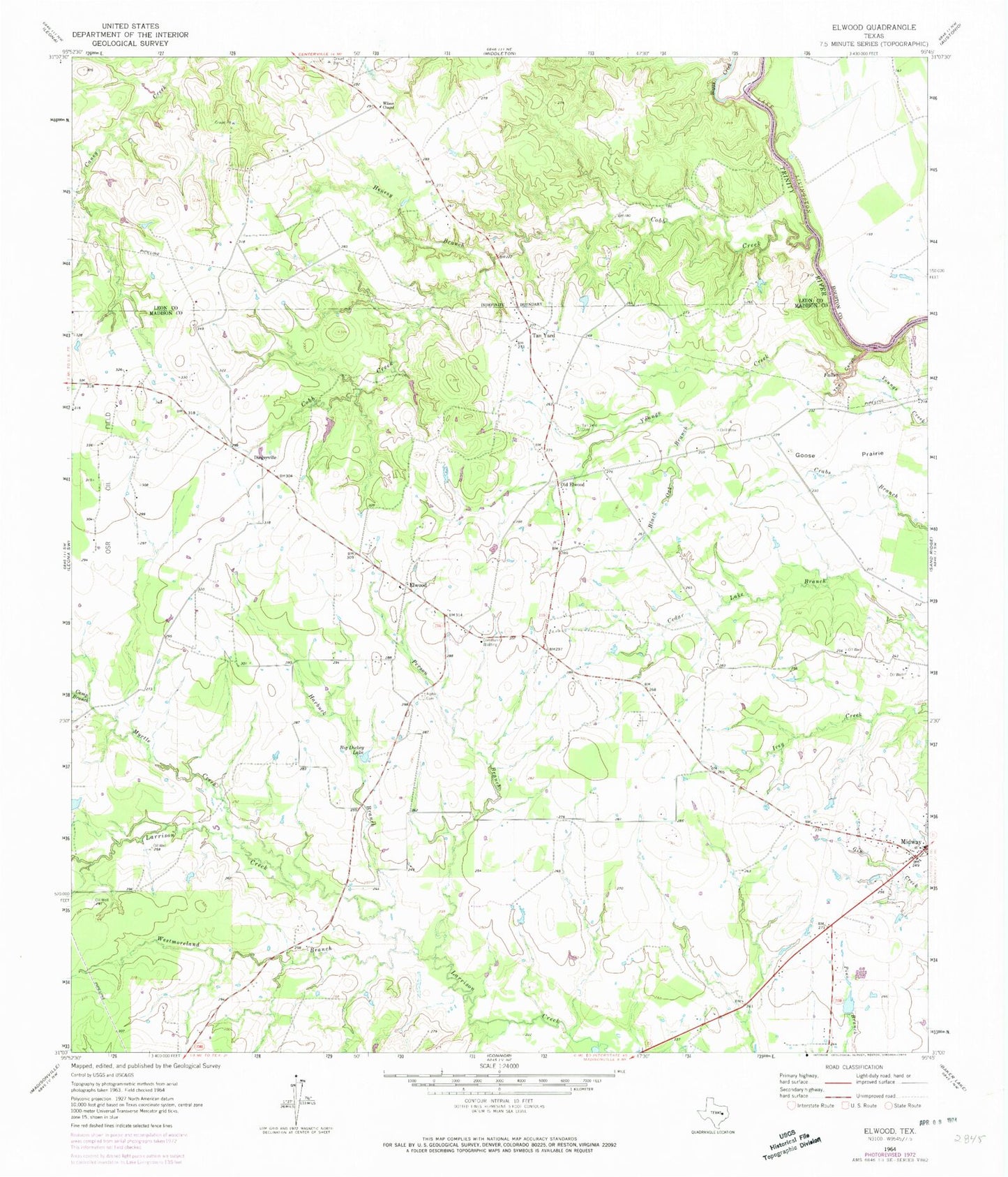
Classic USGS Elwood Texas 7.5'x7.5' Topo Map
Couldn't load pickup availability
Historical USGS topographic quad map of Elwood in the state of Texas. Map scale may vary for some years, but is generally around 1:24,000. Print size is approximately 24" x 27"
This quadrangle is in the following counties: Houston, Leon, Madison.
The map contains contour lines, roads, rivers, towns, and lakes. Printed on high-quality waterproof paper with UV fade-resistant inks, and shipped rolled.
Contains the following named places: Alphin Cemetery, Big Dickey Lake, Black Oak Branch, Boggy Creek, Camp Branch, City of Midway, Cobb Creek, Convict Branch, Dingerville, Elwood, Goose Prairie, Harbuck Branch, Henesy Branch, Little Spring Branch, Midway, Midway Post Office, Myrtle Creek, Old Elwood, Person Branch, Slaughter Lake, Slaughter Lake Dam, Tan Yard, Tan Yard Cemetery, The Canyon, Westmoreland Branch, Wilson Chapel