MyTopo
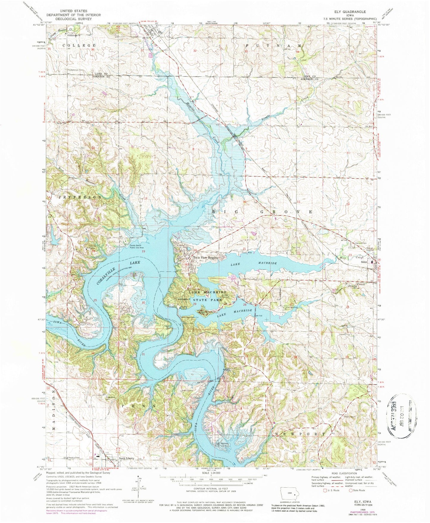
Classic USGS Ely Iowa 7.5'x7.5' Topo Map
Couldn't load pickup availability
Historical USGS topographic quad map of Ely in the state of Iowa. Typical map scale is 1:24,000, but may vary for certain years, if available. Print size: 24" x 27"
This quadrangle is in the following counties: Johnson, Linn.
The map contains contour lines, roads, rivers, towns, and lakes. Printed on high-quality waterproof paper with UV fade-resistant inks, and shipped rolled.
Contains the following named places: Ely, Hoosier Creek, Jordan Creek, Lake Macbride State Park, Lingle Creek, Lake McBride, Mill Creek, Oakland Cemetery, Ridgewood Cemetery, Sandy Beach Public Use Area, Sugar Bottoms Public Use Area, Twin View Heights, West Hoosier Creek, KKRQ-FM (Iowa City), Silver Creek (historical), Township of Big Grove, Sandy Beach Campground, Jolly Rogers Campground, Golf View Mobile Home Court, Lakeview Elementary School, Sugar Bottom Campground, Lake MacBride Golf Course, Facklers Grove Cemetery, Sulek Cemetery, Lake MacBride State Park Trail, Hoosier Grove Post Office (historical), Banner Valley Post Office (historical), Ely City Hall, College - Ely - Putnam Fire Department, Ely Post Office, First Presbyterian Church, Saint John's Lutheran Church, Ely (historical), First Presbyterian Cemetery, Ely Town Bell Historical Marker, Solon High School


