MyTopo
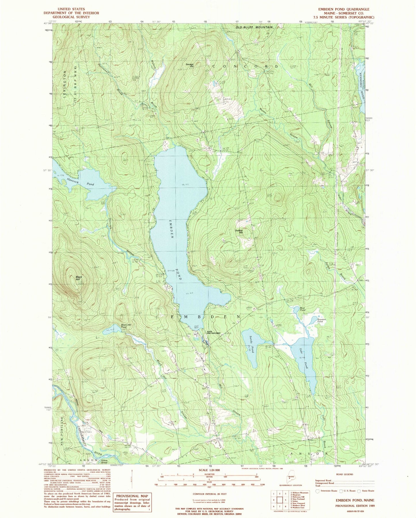
Classic USGS Embden Pond Maine 7.5'x7.5' Topo Map
Couldn't load pickup availability
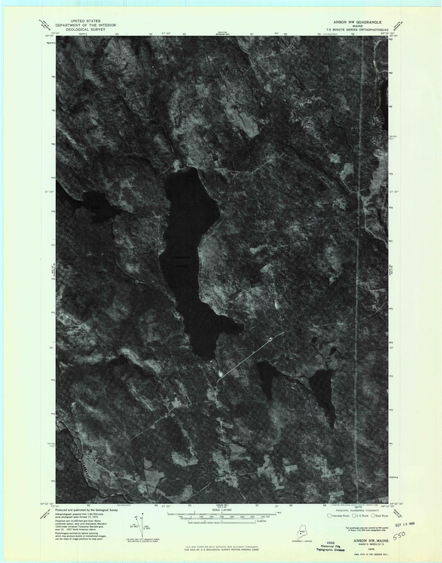
Historical USGS topographic quad map of Embden Pond in the state of Maine. Typical map scale is 1:24,000, but may vary for certain years, if available. Print size: 24" x 27"
This quadrangle is in the following counties: Somerset.
The map contains contour lines, roads, rivers, towns, and lakes. Printed on high-quality waterproof paper with UV fade-resistant inks, and shipped rolled.
Contains the following named places: Hilton Brook, Black Hill, Black Hill Pond, Black Hill Stream, Boynton Pond, Dunbar Hill, Embden Pond, Fahi Pond, Hancock Pond, Hancock Stream, Hunniwell Brook, Hutchins Brook, Martin Stream, Mud Pond, Old Bluff Mountain, Sandy Pond, Savage Hill, Witham Brook, Deveraux Camps (historical), Emerson School (historical), Town of Embden, Fahi Pond Dam, Embden Pond Dam, Hancock Pond Dam, Hancock Pond, Ela Rearing Station, Embden Elementary School (historical), North New Portland Fairgrounds, Concord Corner Cemetery, Savage Hill Cemetery