MyTopo
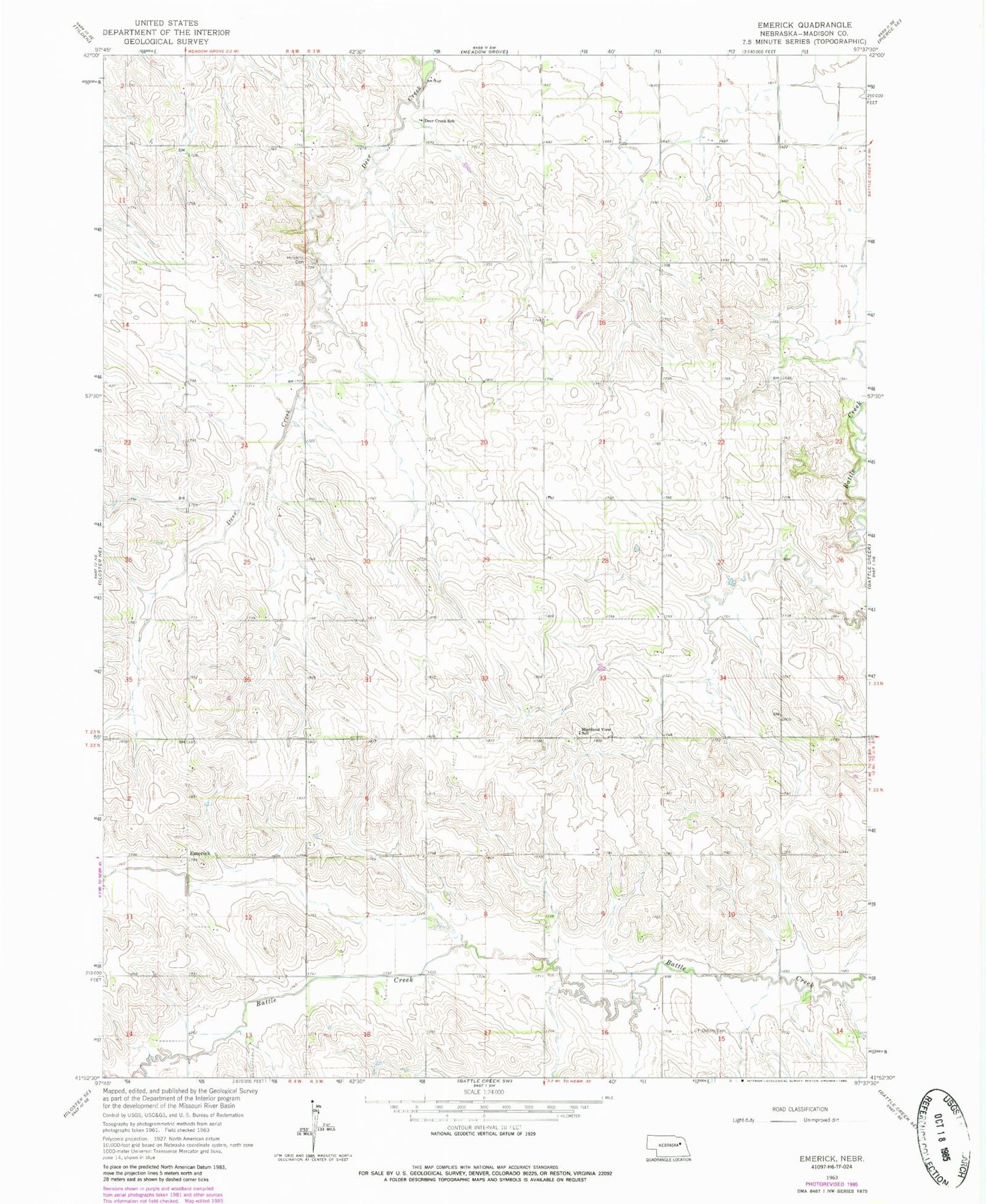
Classic USGS Emerick Nebraska 7.5'x7.5' Topo Map
Couldn't load pickup availability
Historical USGS topographic quad map of Emerick in the state of Nebraska. Map scale may vary for some years, but is generally around 1:24,000. Print size is approximately 24" x 27"
This quadrangle is in the following counties: Madison.
The map contains contour lines, roads, rivers, towns, and lakes. Printed on high-quality waterproof paper with UV fade-resistant inks, and shipped rolled.
Contains the following named places: Blakeley School, Brookside School, Deer Creek School, East Emerick School, Emerick, Emerick Post Office, Emerick Public School, Highland Election Precinct, Highland View School, Hillside School, Hutchins Cemetery, KEXL-FM (Norfolk), Klein Dam, Klein Reservoir, Mount Hope School, Osborn Cemetery, Whitehouse School