MyTopo
Classic USGS Emerson Nipple Washington 7.5'x7.5' Topo Map
Regular price
$16.95
Regular price
Sale price
$16.95
Unit price
per
Couldn't load pickup availability
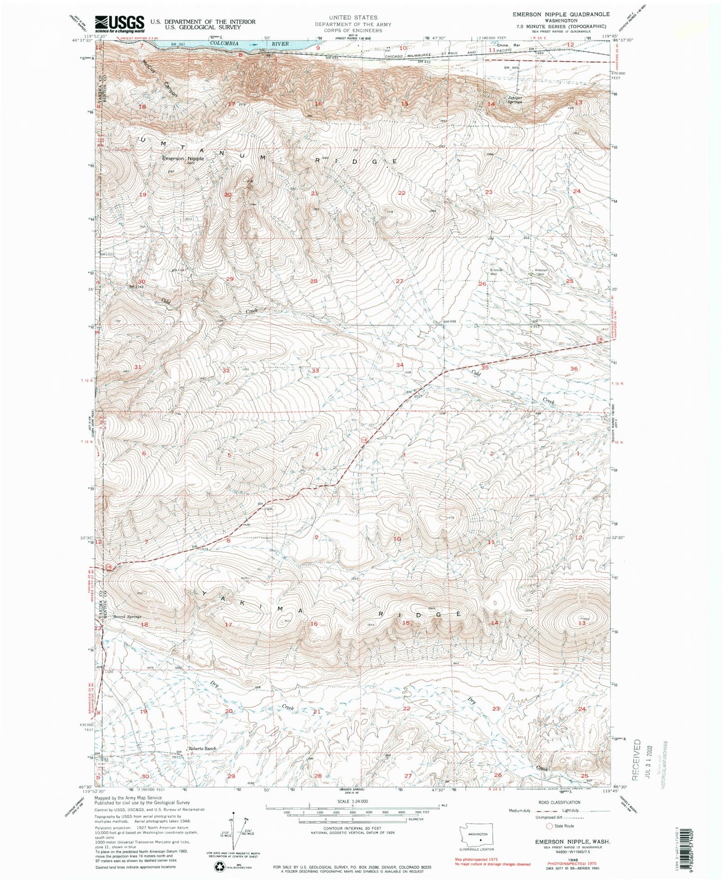
Historical USGS topographic quad map of Emerson Nipple in the state of Washington. Map scale may vary for some years, but is generally around 1:24,000. Print size is approximately 24" x 27"
This quadrangle is in the following counties: Benton, Yakima.
The map contains contour lines, roads, rivers, towns, and lakes. Printed on high-quality waterproof paper with UV fade-resistant inks, and shipped rolled.
Contains the following named places: Barrel Springs, Cold Creek, Emerson Nipple, Juniper Springs, McCoy Canyon, Midway Substation, Roberts Ranch, Wissel Spring