MyTopo
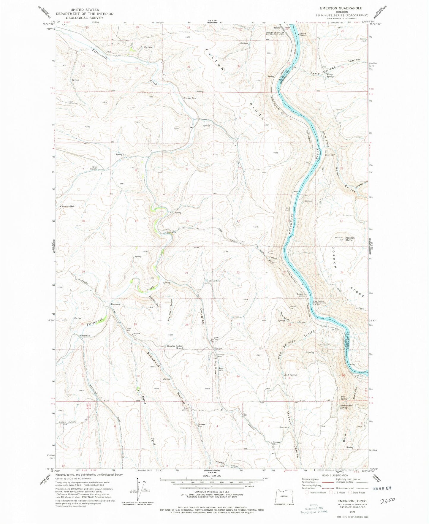
Classic USGS Emerson Oregon 7.5'x7.5' Topo Map
Couldn't load pickup availability
Historical USGS topographic quad map of Emerson in the state of Oregon. Map scale may vary for some years, but is generally around 1:24,000. Print size is approximately 24" x 27"
This quadrangle is in the following counties: Sherman, Wasco.
The map contains contour lines, roads, rivers, towns, and lakes. Printed on high-quality waterproof paper with UV fade-resistant inks, and shipped rolled.
Contains the following named places: Allen Canyon, Blue Sands Canyon, Brookhouse, Burn Canyon, Columbia Hall, Davis Creek, Deer Spring, Douglas Hollow, Douglas Hollow School, Drill Box Canyon, Emerson, Ferry Springs, Ferry Springs Canyon, Free Bridge, Freebridge, Freebridge Post Office, Fulton Ridge, Gordon Butte, Gordon Canyon, Kelly Spring, Kloan, Mud Springs, Mud Springs Canyon, Neabeck, Pine Tree Canyon, Rattlesnake Spring, Standard Hollow, Stecker Canyon, Windmill Canyon, Wingate Canyon, Wrentham, Wrentham Post Office