MyTopo
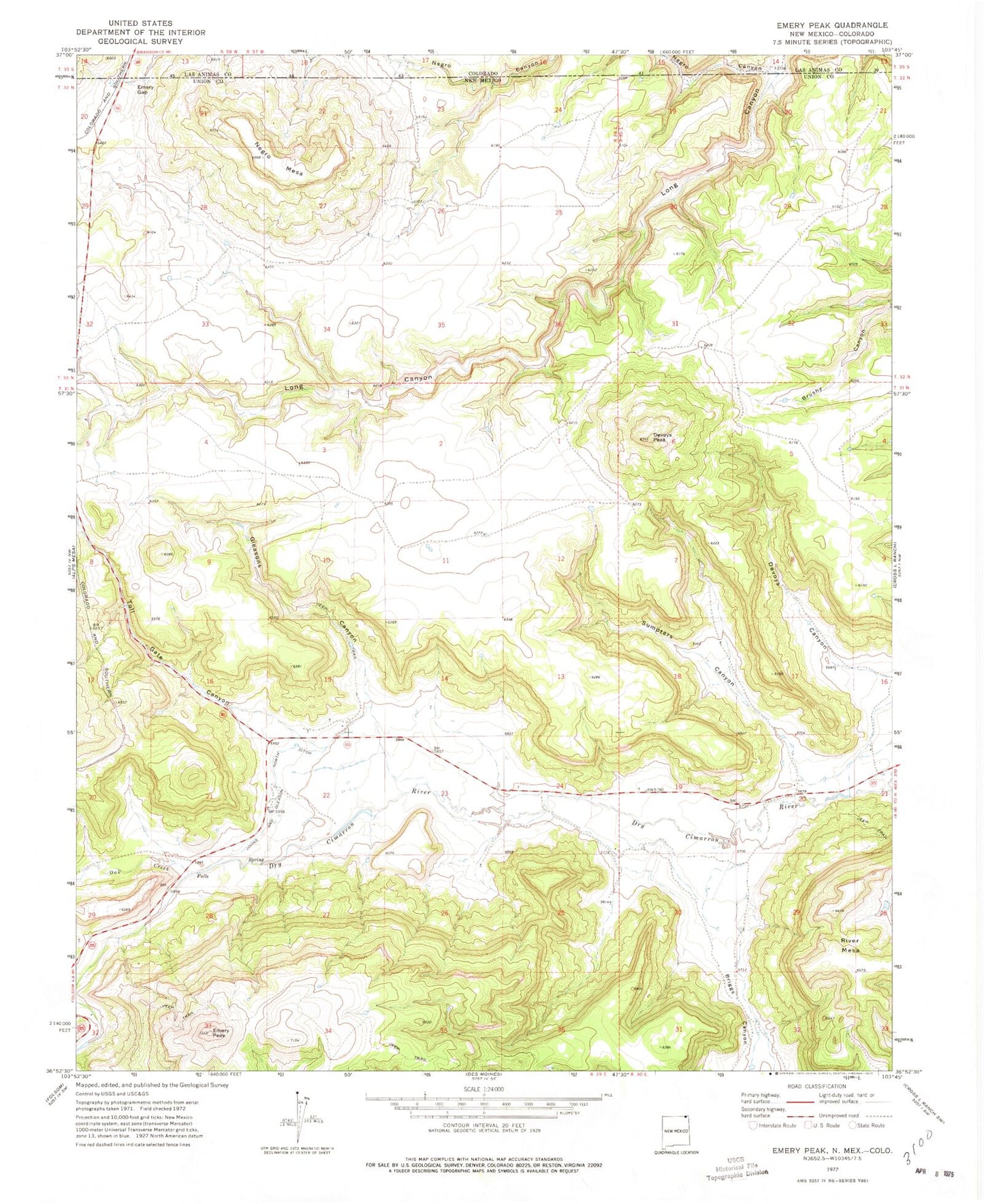
Classic USGS Emery Peak New Mexico 7.5'x7.5' Topo Map
Couldn't load pickup availability
Historical USGS topographic quad map of Emery Peak in the states of New Mexico, Colorado. Map scale may vary for some years, but is generally around 1:24,000. Print size is approximately 24" x 27"
This quadrangle is in the following counties: Las Animas, Union.
The map contains contour lines, roads, rivers, towns, and lakes. Printed on high-quality waterproof paper with UV fade-resistant inks, and shipped rolled.
Contains the following named places: 10136 Water Well, 10138 Water Well, Alps, Briggs Canyon, Brown Reservoir Dam, Devoys Canyon, Devoys Peak, Emery Gap, Emery Gap Post Office, Emery Peak, Gleasons Canyon, Johns and Gleason North Ditch, Madison, Madison Post Office, Negro Canyon, Negro Mesa, Oak Creek, River Mesa, Sumpters Canyon, Toll Gate Canyon, Vandaveer