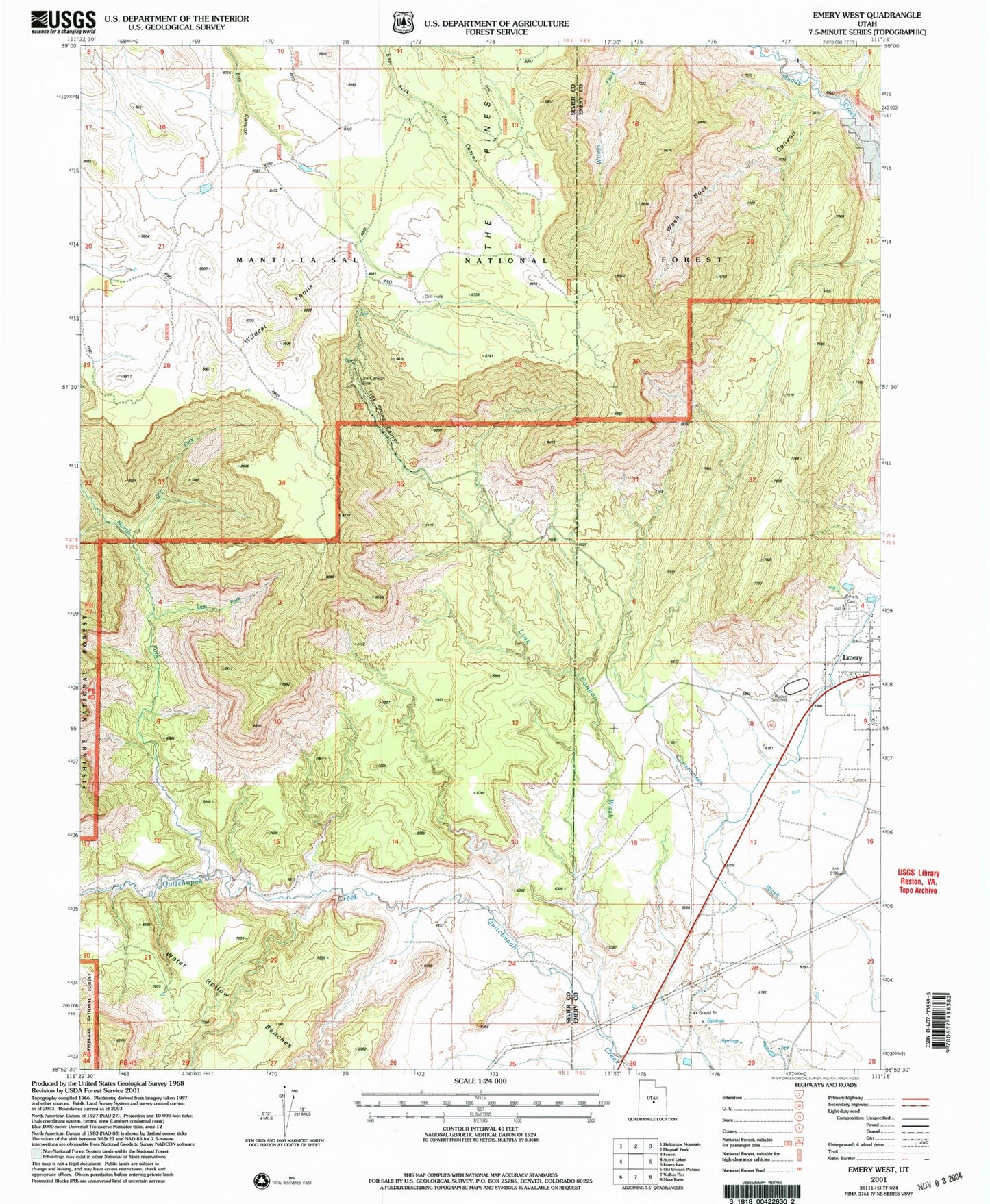
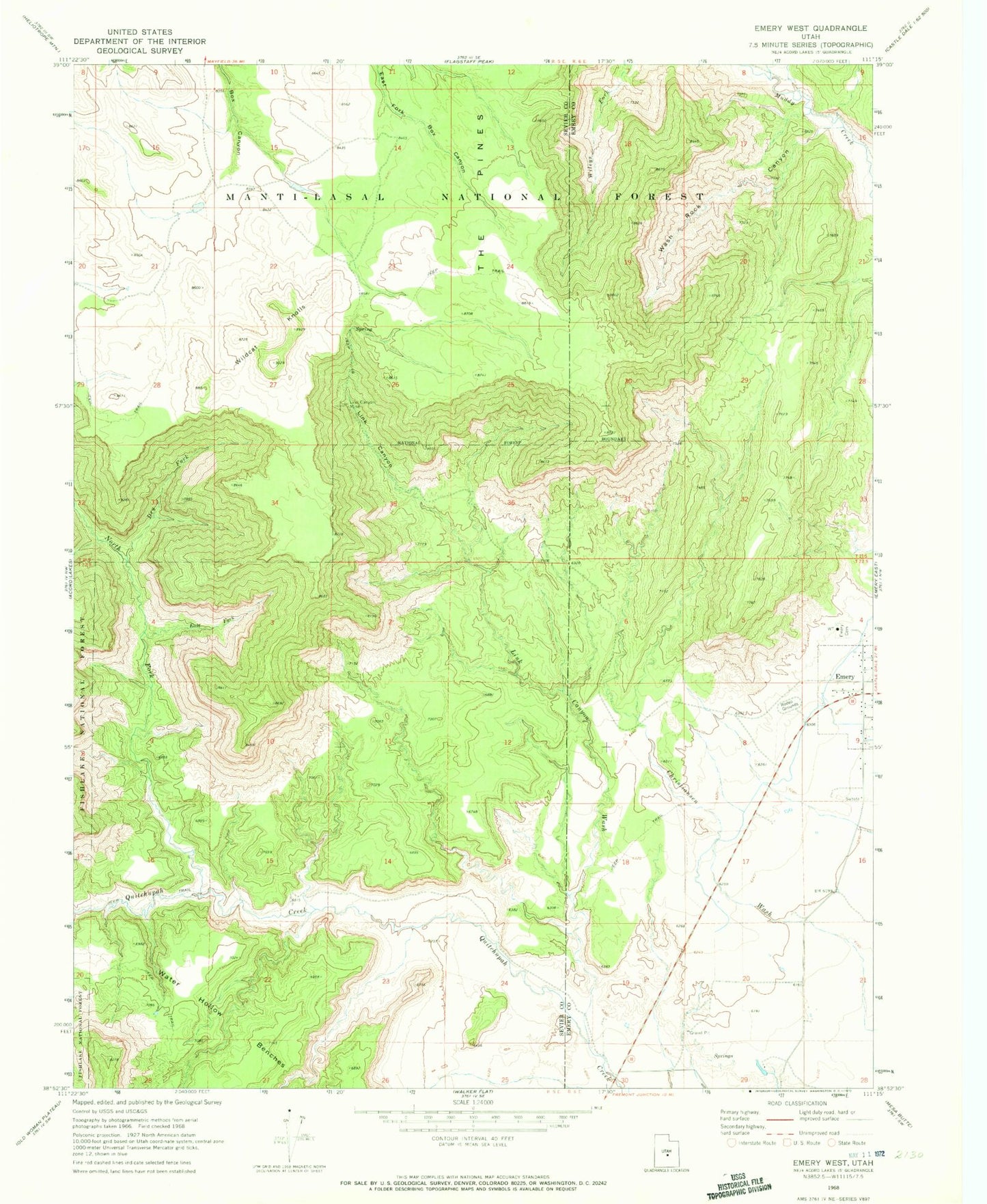
MyTopo
Classic USGS Emery West Utah 7.5'x7.5' Topo Map
Regular price
$16.95
Regular price
Sale price
$16.95
Unit price
per
Couldn't load pickup availability
Historical USGS topographic quad map of Emery West in the state of Utah. Map scale may vary for some years, but is generally around 1:24,000. Print size is approximately 24" x 27"
This quadrangle is in the following counties: Emery, Sevier.
The map contains contour lines, roads, rivers, towns, and lakes. Printed on high-quality waterproof paper with UV fade-resistant inks, and shipped rolled.
Contains the following named places: Dry Fork, East Fork Quitchupah Creek, Emery Cemetery, Lewis Ranch, Link Canyon, Link Canyon Mine, Link Canyon Wash, North Fork Quitchupah Creek, Old Allridge Place, Quitchupah Ranch, The Pines, Town of Emery, Wash Rock Canyon, Water Hollow Benches, Wildcat Knolls