MyTopo
Classic USGS Emigrant Butte Oregon 7.5'x7.5' Topo Map
Couldn't load pickup availability
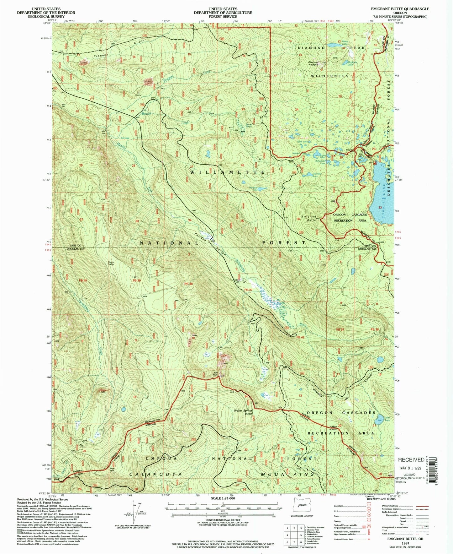
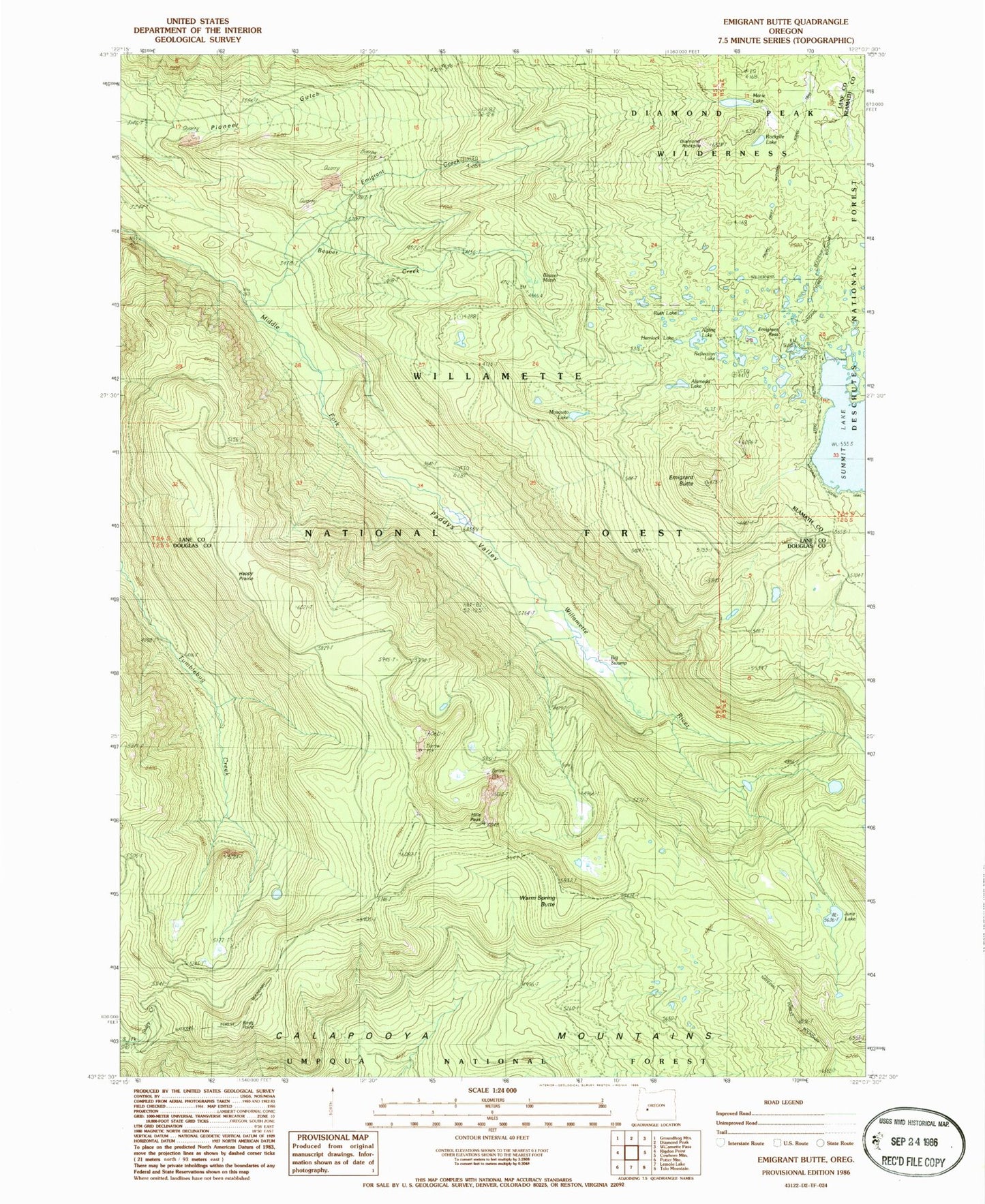
Historical USGS topographic quad map of Emigrant Butte in the state of Oregon. Map scale may vary for some years, but is generally around 1:24,000. Print size is approximately 24" x 27"
This quadrangle is in the following counties: Douglas, Klamath, Lane.
The map contains contour lines, roads, rivers, towns, and lakes. Printed on high-quality waterproof paper with UV fade-resistant inks, and shipped rolled.
Contains the following named places: Alameda Lake, Alpine Lake, Beaver Creek, Beaver Marsh, Big Swamp, Birds Point, Bug Lake, Diamond Rockpile, Emigrant Butte, Emigrant Creek, Emigrant Forest Camp, Emigrant Pass, Fir Lake, Happy Prairie, Happy Prairie Way, Hemlock Lake, Hills Peak, June Lake, Marie Lake, McGowan Mountain Way, Mosquito Lake, Neet Lake, Paddys Valley, Pioneer Way, Reflection Lake, Rockpile Lake, Ruth Lake, Sawtooth Way, Spruce Lake, Summit Lake Boat Launch, Summit Lake Recreation Site, Sunrise Lake, Sunset Lake, Swamp Way, Timpanogas Way, Warm Spring Butte