MyTopo
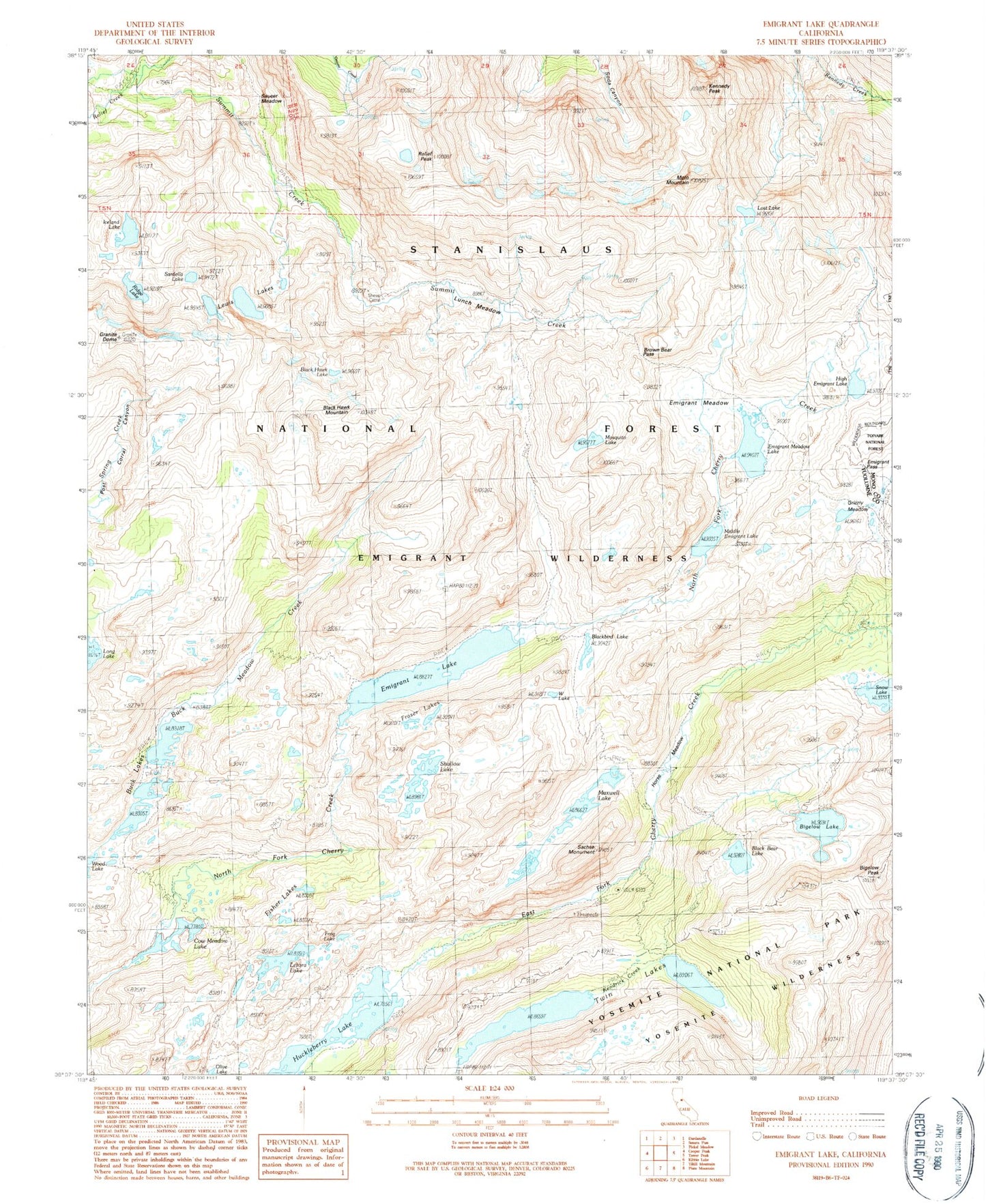
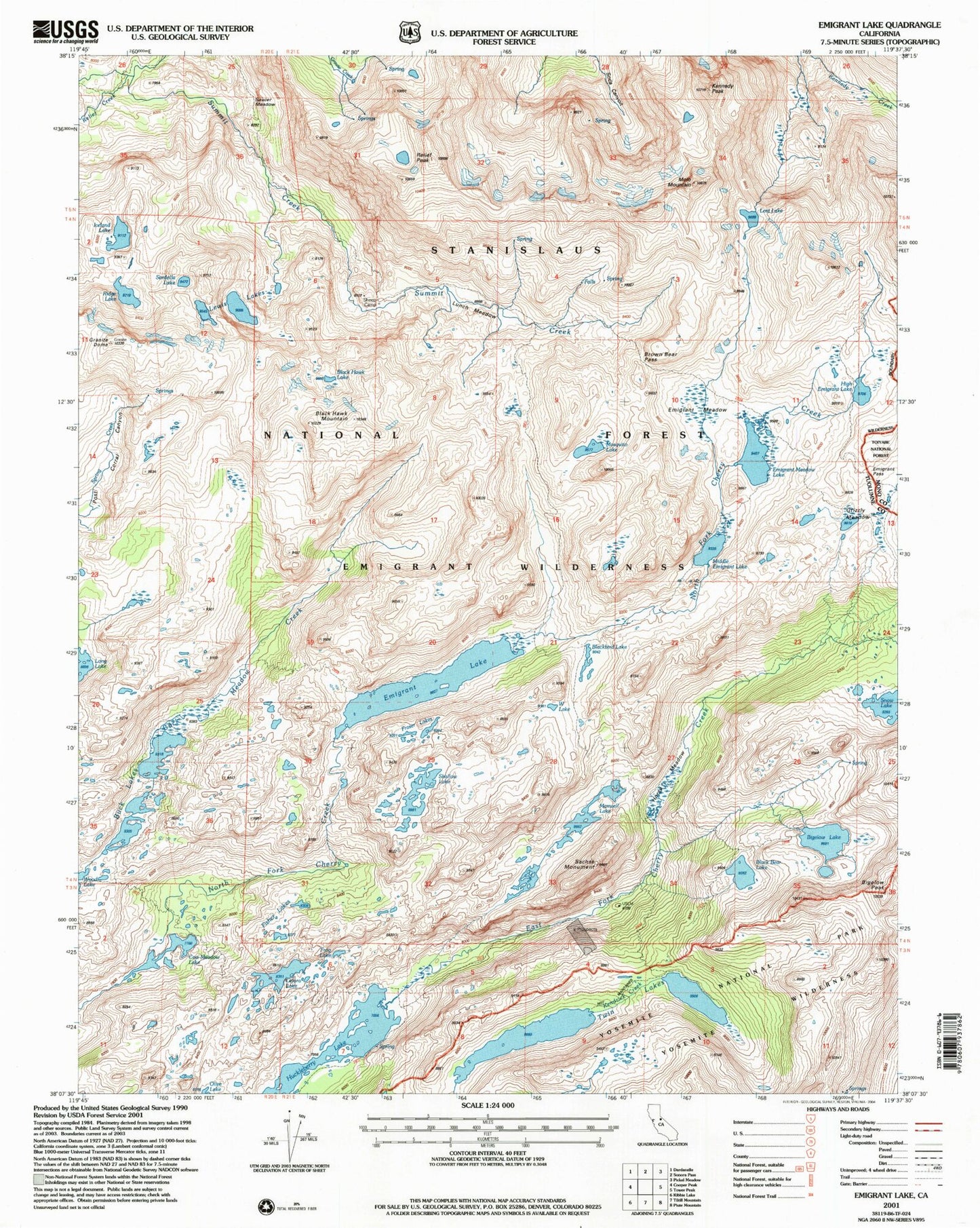
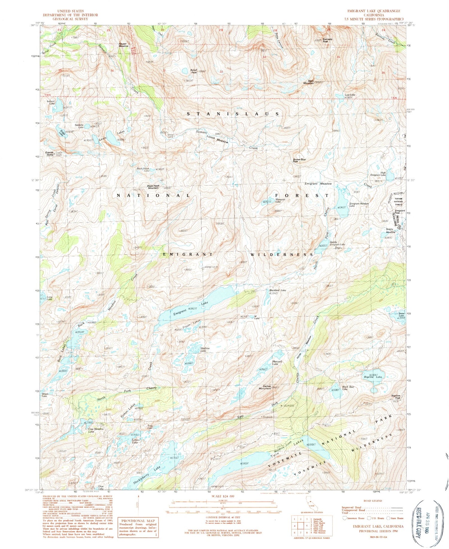
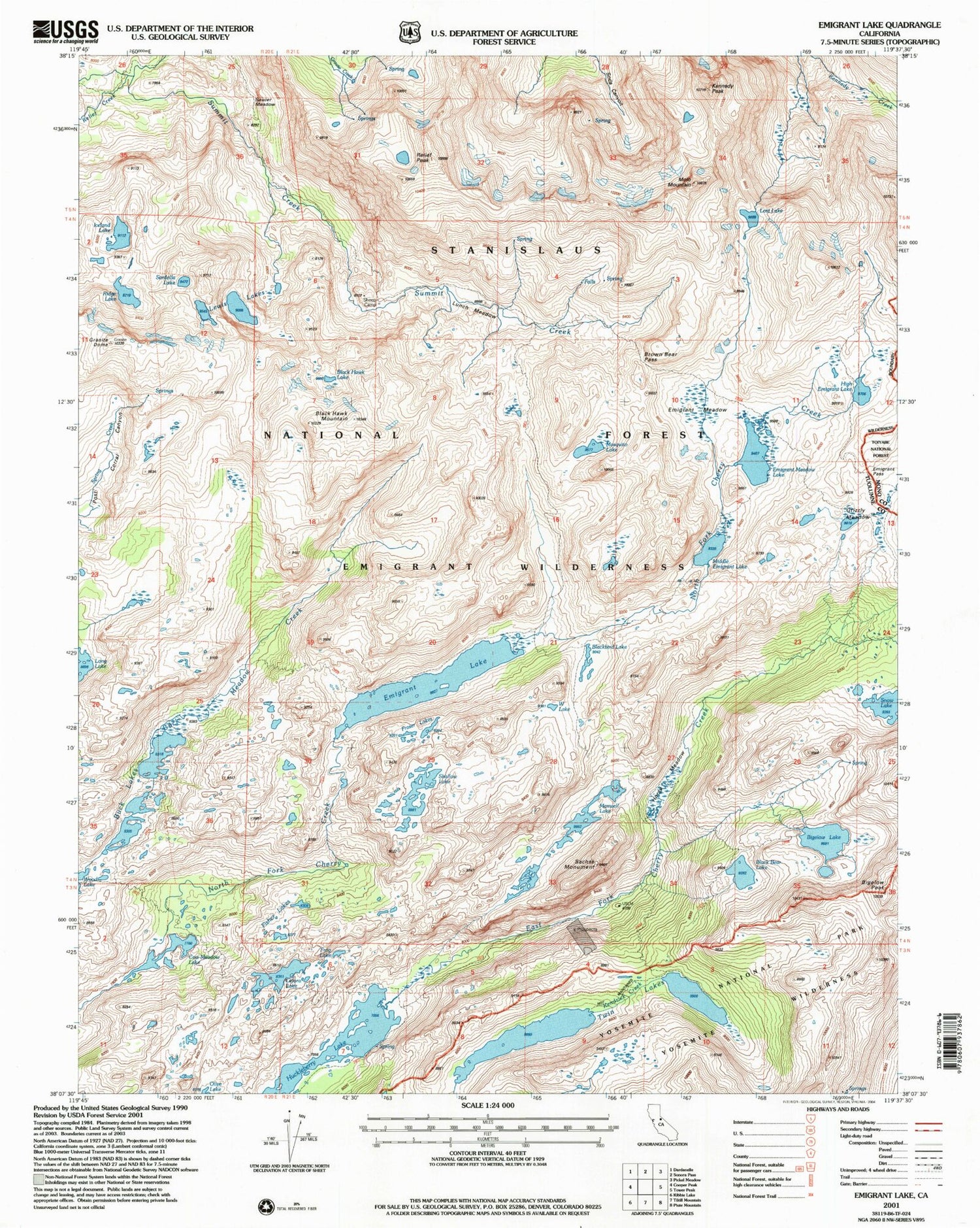
USGS Classic Emigrant Lake California 7.5'x7.5' Topo Map
Couldn't load pickup availability
Historical USGS topographic quad map of Emigrant Lake in the state of California. Scale: 1:24000. Print size: 24" x 27"
This quadrangle is in the following counties: Mono, Tuolumne.
The map contains contour lines, roads, rivers, towns, lakes, and grids including latitude / longitude and UTM / MGRS. Printed on high-quality waterproof paper with UV fade-resistant inks.
Contains the following named places: Snow Lake, Molo Mountain, Sheep Camp, Bigelow Lake, Bigelow Peak, Black Bear Lake, Black Hawk Lake, Black Hawk Mountain, Blackbird Lake, Brown Bear Pass, Buck Lakes, Cow Meadow Lake, Emigrant Lake, Emigrant Meadow, Emigrant Meadow Lake, Emigrant Pass, Fisher Lakes, Fraser Lakes, Frog Lake, Granite Dome, Grizzly Meadow, High Emigrant Lake, Horse Meadow, Iceland Lake, Kennedy Peak, Lertora Lake, Lewis Lakes, Lost Lake, Lunch Meadow, Maxwell Lake, Mosquito Lake, Relief Creek, Relief Peak, Ridge Lake, Sachse Monument, Sardella Lake, Saucer Meadow, Shallow Lake, Huckleberry Lake, Twin Lakes, W Lake, Horse Meadow Reservoir, Lower Buck Lake 1-025 Dam, Bigelow Lake 1-026 Dam, High Emigrant Lake 1-027 Dam, Emigrant Lake Dam, Snowlake Dam, Snowlake Reservoir, Middle Emigrant Dam, Middle Emigrant Lake, Buck Lake Dam, Buck Lake, Long Lake Dam, Buck Lake


