MyTopo
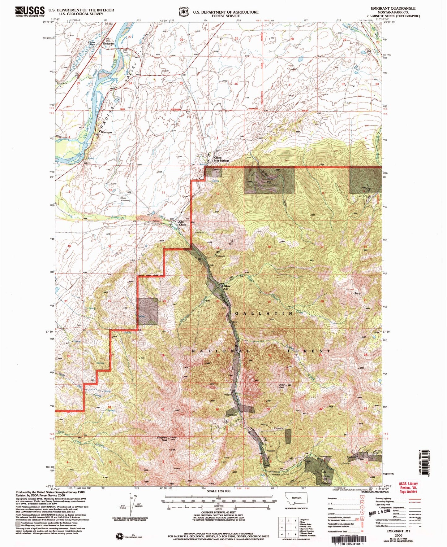
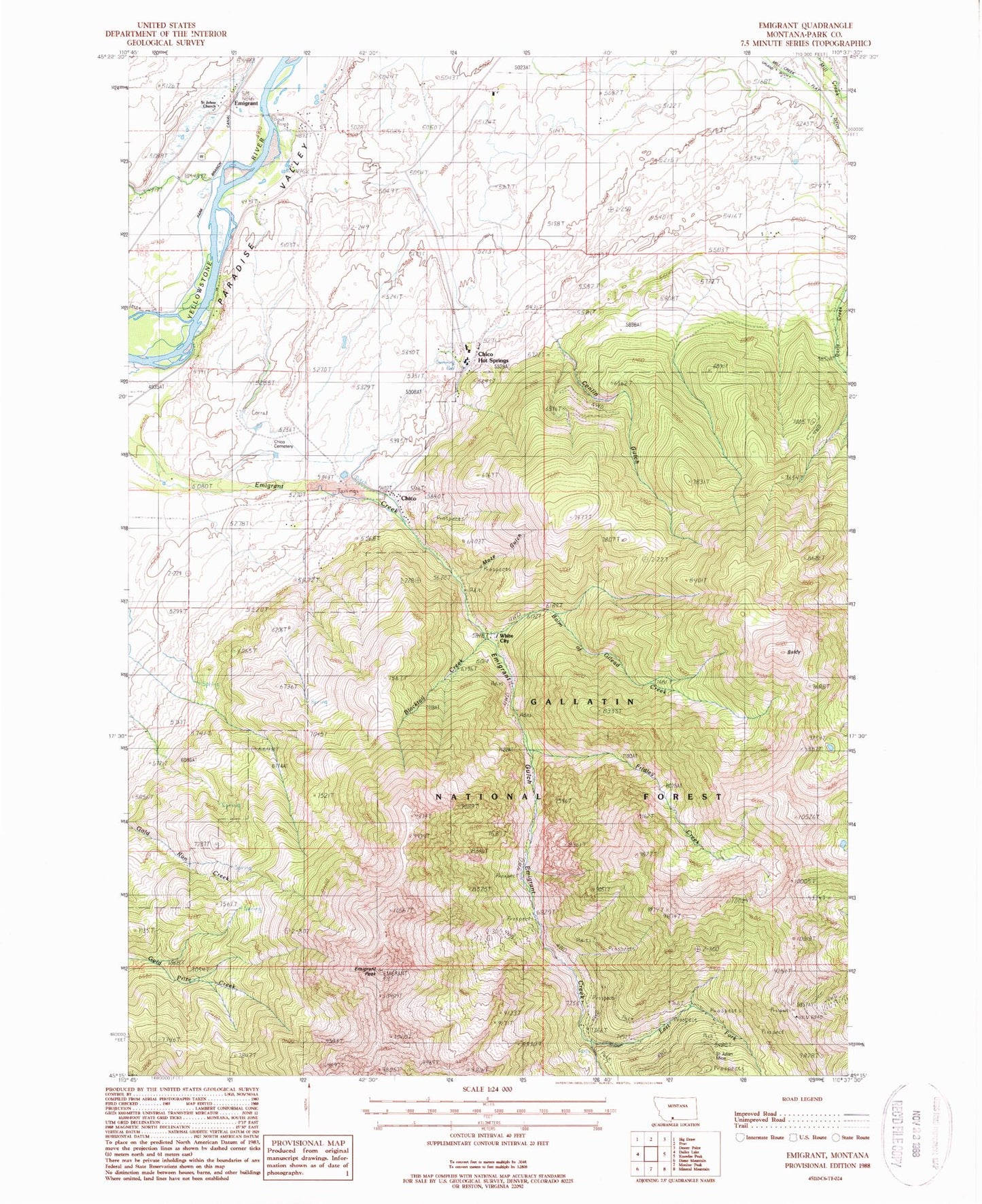
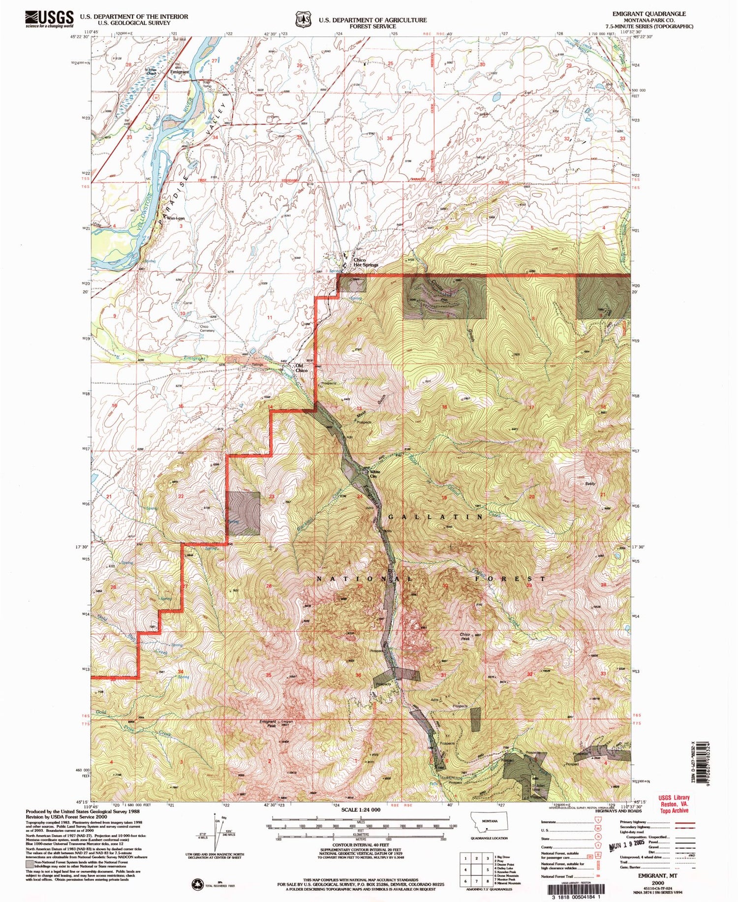
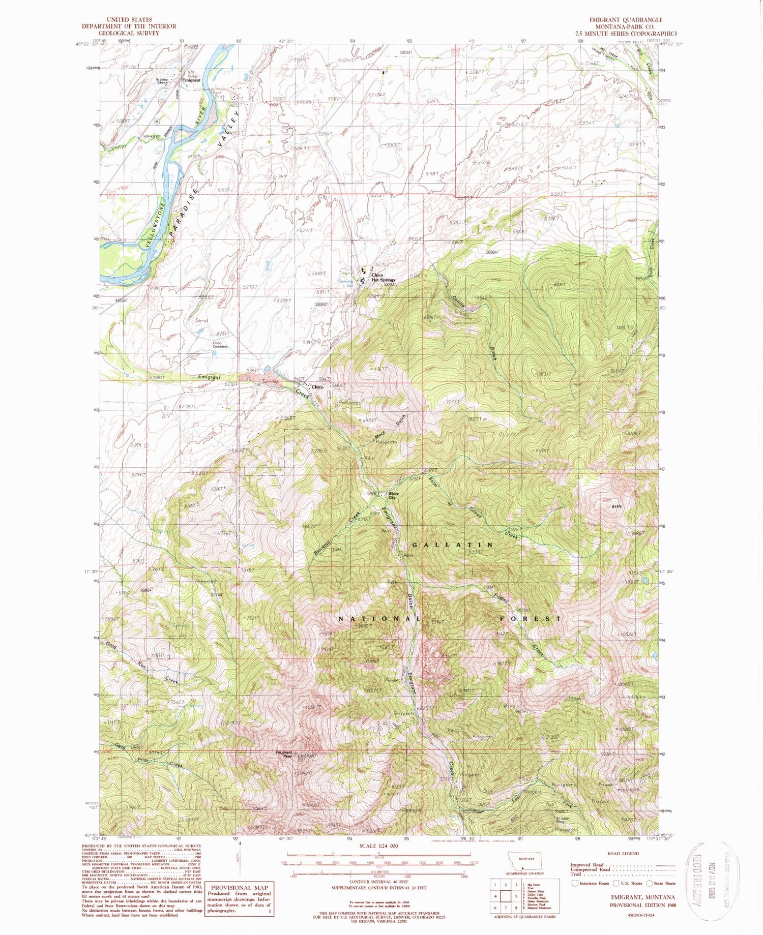
Classic USGS Emigrant Montana 7.5'x7.5' Topo Map
Couldn't load pickup availability
Historical USGS topographic quad map of Emigrant in the state of Montana. Typical map scale is 1:24,000, but may vary for certain years, if available. Print size: 24" x 27"
This quadrangle is in the following counties: Park.
The map contains contour lines, roads, rivers, towns, and lakes. Printed on high-quality waterproof paper with UV fade-resistant inks, and shipped rolled.
Contains the following named places: Balm of Gilead Creek, Chico, Chico Cemetery, Chico Hot Springs, Conlin Gulch, Emigrant, Emigrant Gulch, Emigrant Peak, Fridley Creek, Mill Creek Flat Ditch, Saint Johns Church, Upland Ditch, Wan-I- Gan, White City, Blacktail Creek, Saint Julian Mine, Old Chico, Chico Peak, East Fork Emigrant Creek, Moze Gulch, Alaska Mine, Ku Klux Mine, Allison Mine, Saint Julian Mine, McAdow Mine, Comanche Mine, Section 6 Placer Mine, NW Section 5 Mine, 07S09E06DDA_01 Well, 07S09E06ADD_01 Well, 06S08E12ACB_01 Spring, 06S09E01CDC_02 Spring, 06S09E01CDC_01 Spring, 05S08E34ACB_01 Spring, Chico Airport (historical), Golden Age Village Trailer Park, Chico Post Office (historical), Emigrant (historical), Emigrant Post Office, Fridley School (historical), Emigrant School (historical), Chico School (historical), Henry W Longfellow Academy, Thomas Moore School, Sand Spur (historical), Yellowstone City (historical), Emigrant Fishing Access Site, Paradise Valley Fire Department


